

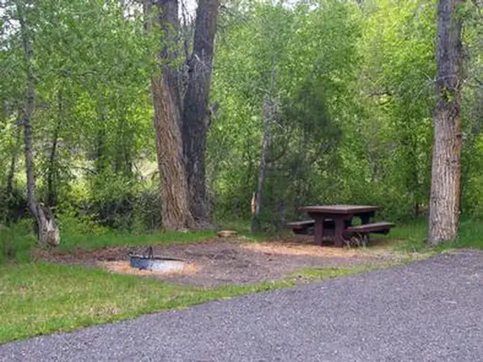
Red Canyon Village
Hiking business nearby (~5 mi away) — hasn't claimed their Roamze page yet
Free — you'll pick up right here.
Watch this trail
Sign up to watch it — saving subscribes you to gate, closure and report changes.
Utah
16.1 mi
Distance
4,251 ft
Gain
7h 29m
Time
We won't guess. Here is exactly what we do and don't know.
What we do know
Inside Dixie National Forest
2 managing-area boundaries mapped — agency alerts for them feed this page automatically.
Boundary data
What's missing
No access route mapped
We don't yet know which road reaches this trailhead, so we can't tell you if it's gated.
Nobody's filed a report here yet — be the first.
Why you'll love it
Grand View Trail
AI-suggested draft · review before you go
No permit or access details on file for this trail — check with the local land manager before you go.
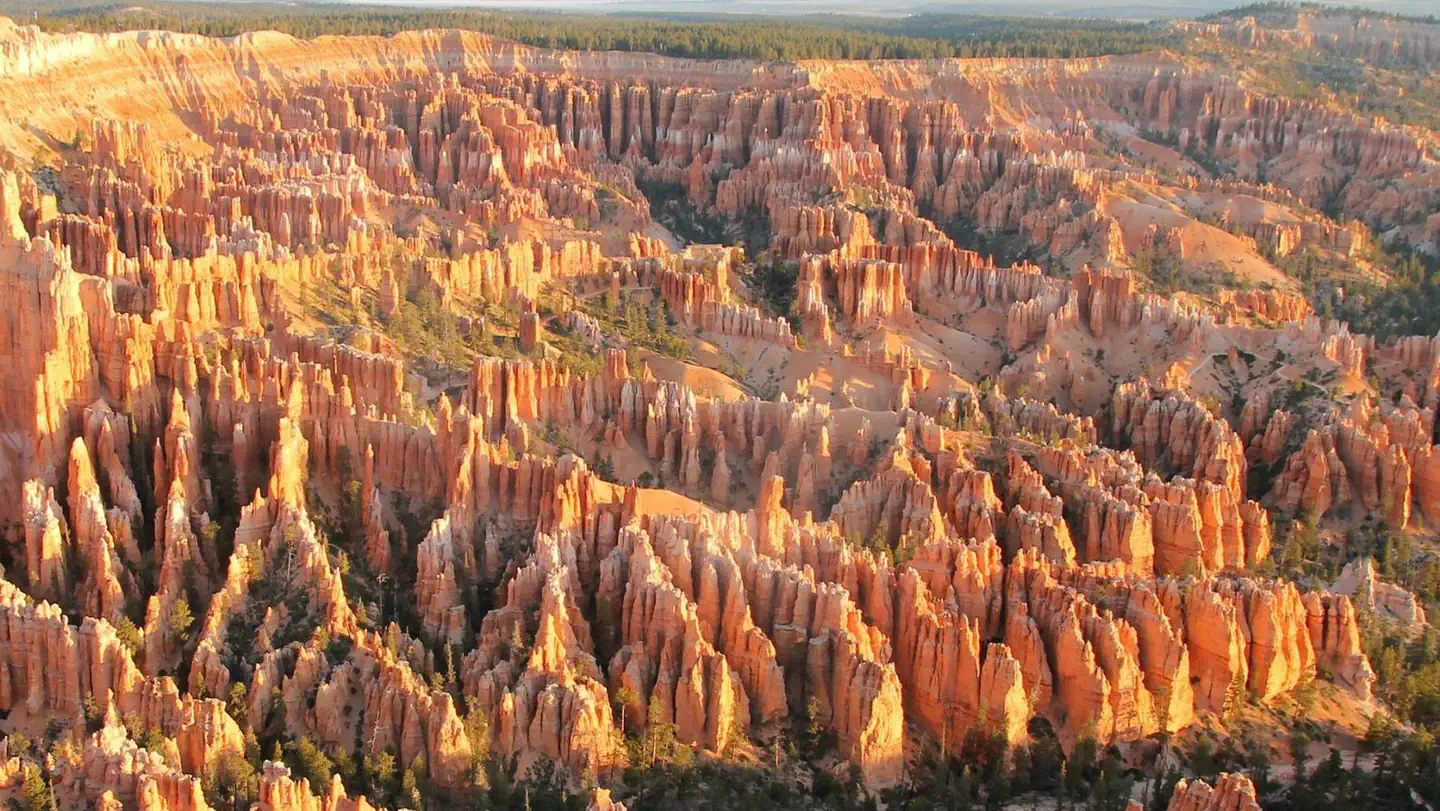
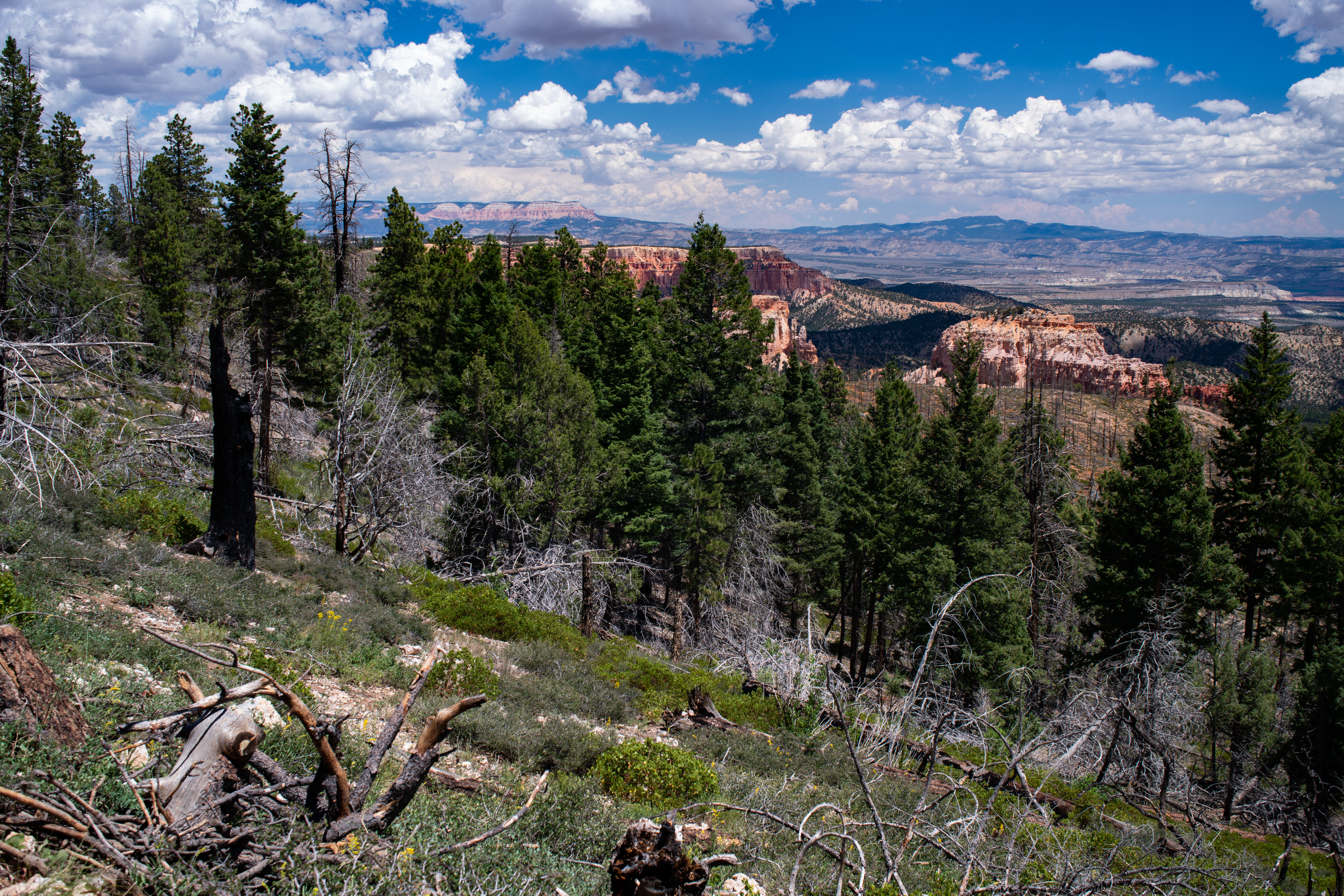
Grand View Trail is a challenging high-altitude trek offering expansive vistas across Utah's rugged landscape. This 16-mile route gains over 4,200 feet of elevation, rewarding hikers with panoramic views and diverse terrain ranging from slickrock to alpine meadows. The trail's length and significant elevation gain make it ideal for experienced hikers seeking a full-day adventure in Utah's backcountry.
Swamp Canyon Loop Trailhead
~16 min drive
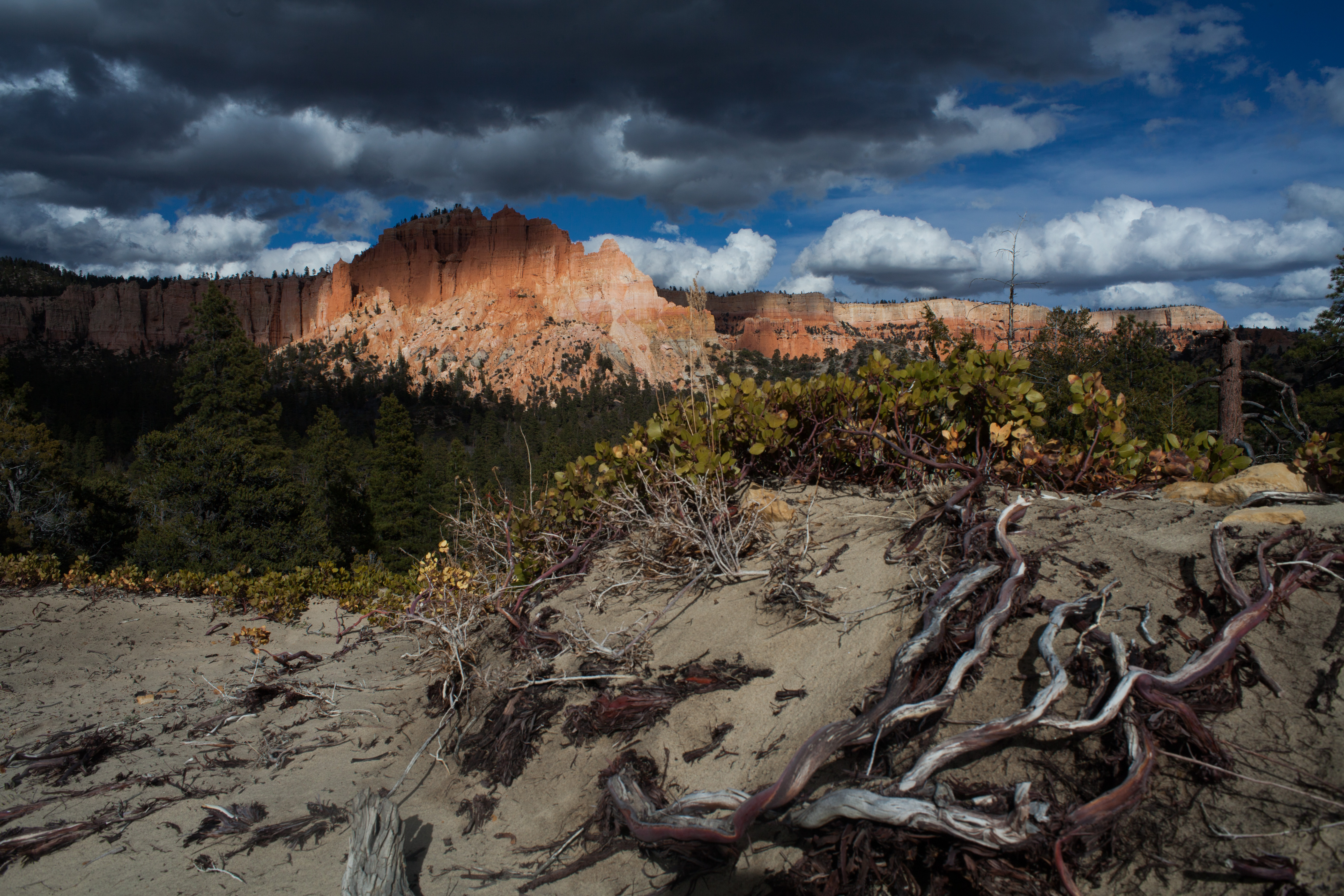
<h3>Swamp Canyon Loop</h3> <p><strong>Difficulty: Moderate<br /> Total Distance: 4.0 miles (6.4 km)<br /> Ascent/Descent: 1,026 feet (313 m) / 1,034 feet (315 m)<br /> Average time: 3-4 hours</strong><br /> The moderately strenuous 4.0 mi/6.4 km Swamp Canyon Loop begins here.…
Thunder Mountain Trail
~6 min drive
Challenging 15.74-mile mountain trail with 843 ft elevation gain.
Castle Bridge Trail
~7 min drive
Short hike to a natural stone arch with minimal elevation gain.
Golden Wall Trail
~8 min drive
Moderate 5.7-mile hike featuring golden rock formations and steady elevation gain.
Whiteman Trail Connections wayside
~16 min drive
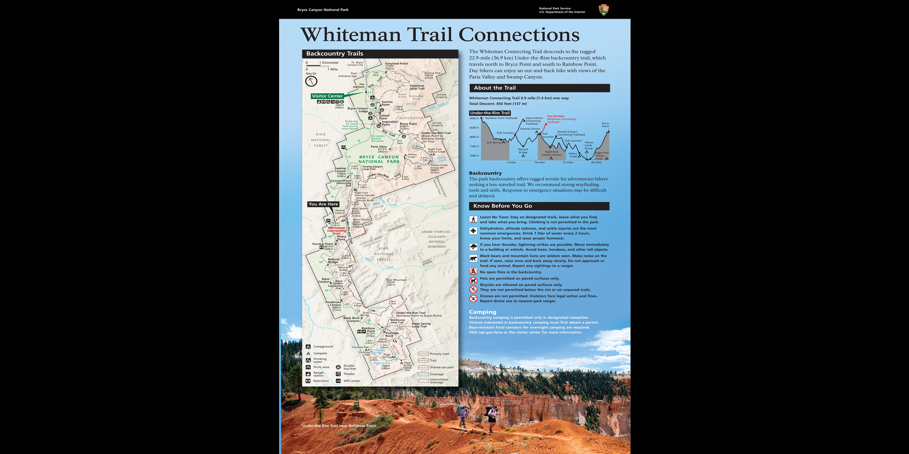
Here, the Whiteman Connecting Trail descends to the rugged 22.9-mile (36.9 km) Under-the-Rim backcountry trail, which travels north to Bryce Point and south to Rainbow Point. Day hikers can enjoy an out-and-back hike with views of the Paria Valley and Swamp Canyon.
Red Canyon Bike Trail
~8 min drive
10.8-mile moderate mountain bike trail through Utah's red rock canyons.
Buckhorn Trail
~8 min drive
Short, steep Utah trail with 516 ft gain over 1.89 miles.
Losee Canyon Trail
~11 min drive
Moderate 5.88-mile canyon hike with 782 ft elevation gain in Utah.
Whiteman Connecting Trail Trailhead
~16 min drive
<h3>Whiteman Connecting Trail</h3> <p><strong>Difficulty: Moderate<br /> Total Distance: 1.0 miles (1.6 km)<br /> Ascent/Descent: 16 feet (4.9 m) / 490 feet (149 m)<br /> Average time: 1-2 hours</strong><br /> <br /> <span style="color:#2980b9;"><strong>This trail may be inacc…
Blue Fly-Proctor Trail
~8 min drive
Easy 2.74-mile trail with modest elevation gain near Blue Fly area.
Local operatorsoffering guided trips. You book directly with them — Roamze doesn’t take a cut.
Red Canyon Village
Hiking business nearby (~5 mi away) — hasn't claimed their Roamze page yet
Ruby's Inn Bryce Canyon RV Park & Campground
Hiking business nearby (~10 mi away) — hasn't claimed their Roamze page yet
Bryce Canyon Horseback Tours
Hiking business nearby (~10 mi away) — hasn't claimed their Roamze page yet