Flat Lake Trail
- 1.1 mi
- round trip
- 149 ft
- climb
- 9,656 ft
- high point
- Out and back
- route
Is Flat Lake Trail open right now?
Alert in the area
The Forest Service lists 3 alerts for Dixie National Forest.
Duck Creek OHV Trail Closure
Agency alert covering Dixie National Forest · Order 0407-26-11 · USFS · Dixie National Forest
Pine Valley Ranger District Area and Trail and Road Closure
Agency alert covering Dixie National Forest · Order 0407-26-01 · USFS · Dixie National Forest
Cedar City Temporary Road Closure Webster Flat Road (Order 0407-25-02)
Agency alert covering Dixie National Forest · Order 0407-25-02 · USFS · Dixie National Forest
As of · Source: USFS · Dixie National Forest. Agencies don't list every closure — check before you go.
Flat Lake Trail is a short, easy hike in the Escalante Ranger District of Dixie National Forest in southern Utah, managed by the Forest Service. The trail is about a mile long, with a one-way climb of roughly 150 feet from a low point of about 9,486 feet to a high of about 9,656 feet. The trail is natural-surfaced and open to both horses and bikes, so it works for riders and pack animals as well as hikers. Flat Lake sits just 0.1 mile away, and Blue Lake Trail is about 0.2 mile off, making it easy to pair this walk with time on the water or another short outing. Barker Recreation Area, about a mile away, offers camping, and Posey Lake Campground is roughly 7 miles away for a longer stay.
Local outfitters
- Under Canvas14 mi away
- Canyons of Escalante RV Park16 mi away
Not on Roamze yet. Their page has how to reach them.
- Flat LakeLake fishing0.1 mi
- Blue Lake TrailHiking0.2 mi
- Flat Lake Trail. FR34043Mountain biking0.2 mi
- Yellow LakeLake fishing0.2 mi
- Barker Lakes LoopMountain biking0.2 mi
- Blue LakeLake fishing0.3 mi
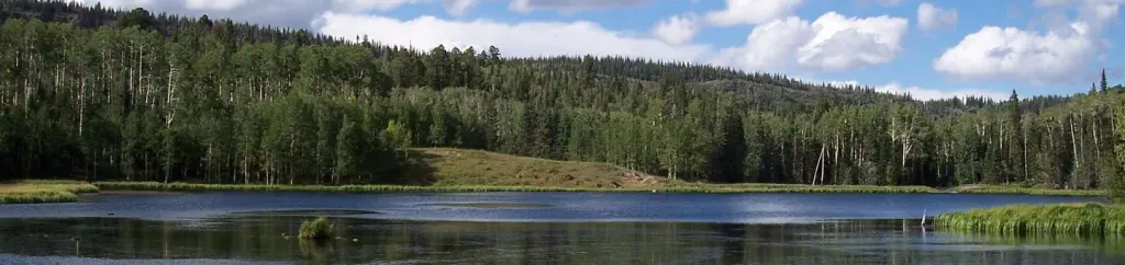 Barker Recreation AreaCampingPhoto: Recreation.gov (RIDB) / public domain1 mi
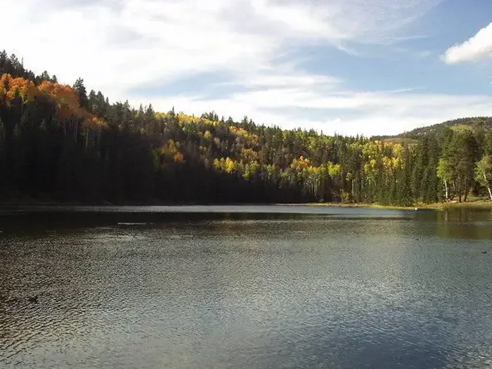 Posey Lake CampgroundCampingPhoto: Recreation.gov (RIDB) / public domain7.3 mi
Source: Roamze catalog (indexable pages within 10 miles, PostGIS distance)
 Upper Death HollowHiking · ~20 min drivePhoto: Jason J. Corneveaux, CC BY-SA 3.0 (via Wikimedia Commons)
- Blue Lake TrailHiking · Next door
- Halls Creek TrailHiking · ~5 min drive
- Great Western Trail - Pine Creek SectionHiking · ~17 min drive
- Island in the Sky TrailHiking · ~4 min drive
- Great Western Trail - UtahHiking · Next door
- Big Swale-Pollywog RoadHiking · ~11 min drive
- The Gap TrailHiking · ~5 min drive
- Barker Lakes LoopHiking · Next door
- Great Western Trail - Horse Creek SectionHiking · ~12 min drive
