Chimney Rock Trail
- 1.5 mi
- loop
- 353 ft
- climb
- 8,504 ft
- high point
- Loop
- route
Chimney Rock Trail is a short, easy loop in Utah's Dixie National Forest, within the Powell Ranger District. The trail is about 1.5 miles long, with a total elevation gain of 353 feet, and it rises from a low point of about 8,170 feet to a high of about 8,504 feet. The Forest Service manages the land, and the trail is open year-round. The route is a loop, so it starts and ends at the same point. It's a low-effort outing, and the climb is gentle, making it a good choice for a quick walk or a stop on the way to or from other spots in the area. Summer is the most comfortable time to go. Typical averages from a nearby weather station at Bryce Canyon put July highs around 80°F with lows near 52°F, while winter highs stay in the upper 30s. King Creek Campground is less than a mile away, and the King Creek Trail and Kings Creek Junction Road are both within about a mile and a half.
- King Creek CampgroundCamping0.8 mi
- Kings CreekCamping1 mi
- King Creek Group AreaCamping1 mi
- King Creek TrailHiking1.2 mi
 Kings Creek Junction RoadHikingPhoto: inkknife_2000 (7.5 million views +), CC BY-SA 2.0 (via Wikimedia Commons)1.4 mi
- East Fork Sevier RoadHiking1.5 mi
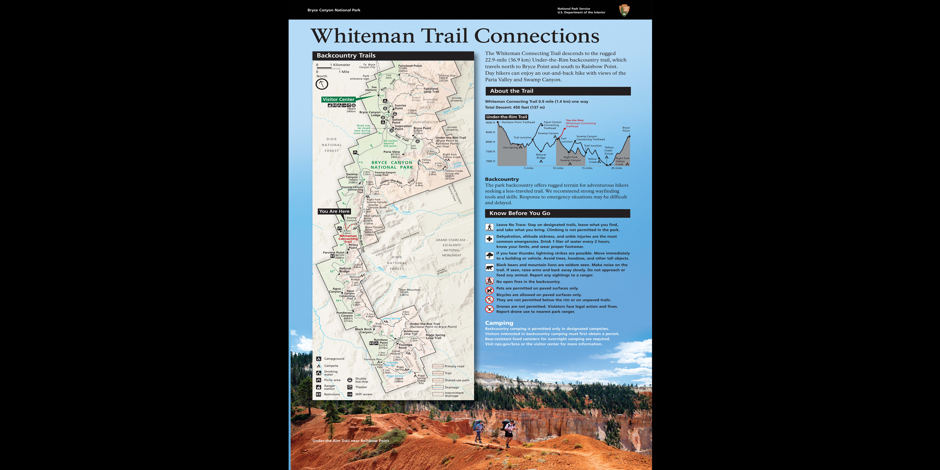 Whiteman Trail Connections waysideHikingPhoto: NPS2.9 mi
- Powell Ranger DistrictLake fishing5.9 mi
Source: Roamze catalog (indexable pages within 10 miles, PostGIS distance)
