


Moab Rim Campark
Hiking business nearby (~9 mi away) — hasn't claimed their Roamze page yet
Free — you'll pick up right here.
Watch this trail
Sign up to watch it — saving subscribes you to gate, closure and report changes.
Utah
1.3 mi
Distance
462 ft
Gain
40 min
Time
No agency boundary, access route or field report is mapped to it — so there is no verdict, and we won't guess. We'll tell you the moment this trail has something to say.
Covered nearby
Trails within 25 miles where we do have a current picture.
Nobody's filed a report here yet — be the first.
Why you'll love it
Chicken Corners Road
AI-suggested draft · review before you go
No permit or access details on file for this trail — check with the local land manager before you go.
Chicken Corners Road is a short, accessible trail offering a quick escape into Utah's backcountry with modest elevation gain. This 1.3-mile route provides a straightforward hiking experience suitable for families and those seeking a brief outdoor outing. The trail's compact distance and gentle grade make it an ideal warm-up hike or alternative for those with limited time.
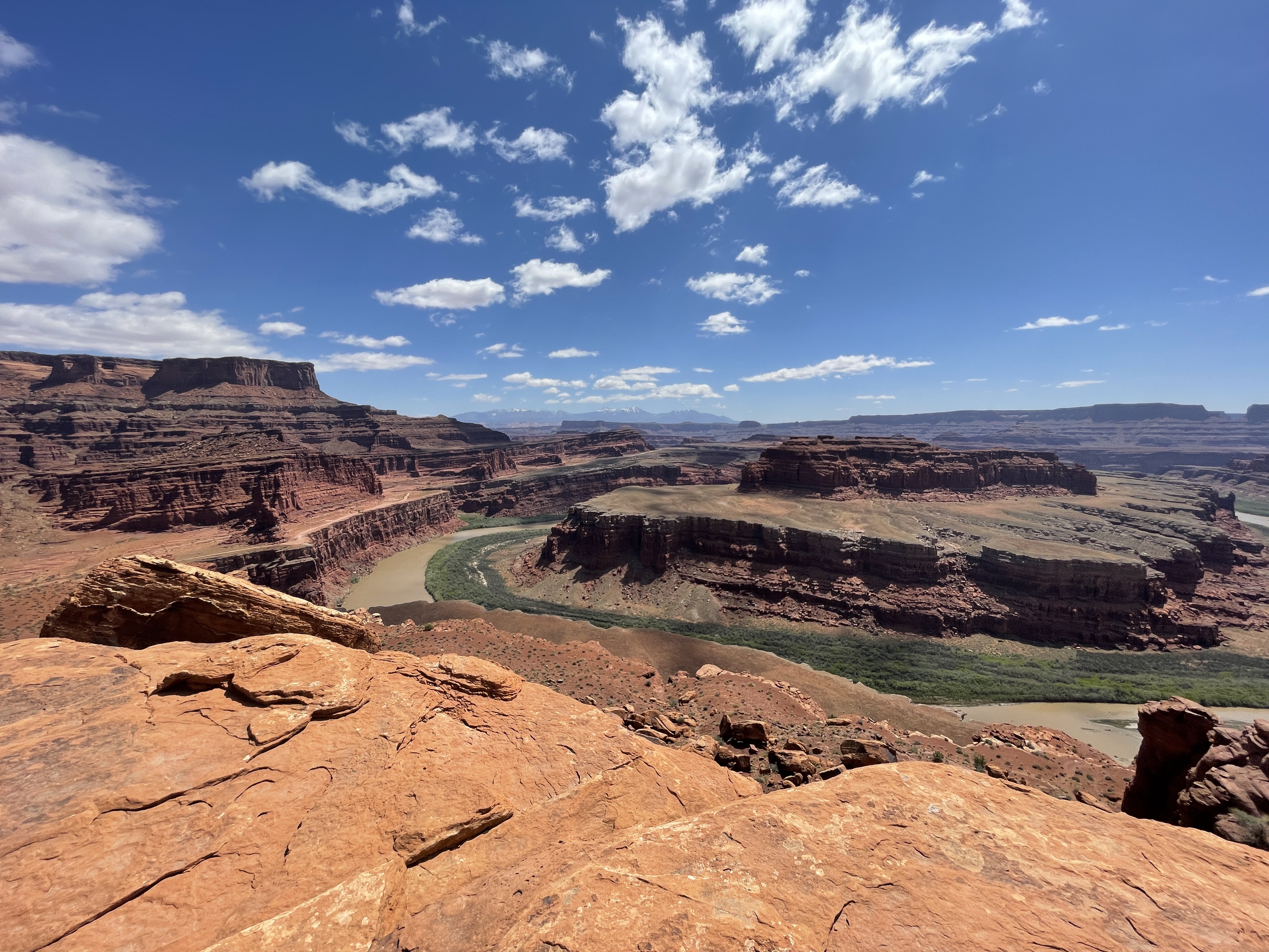
Gooseneck Overlook Trail
~12 min drive
<p><i>Reaching this trail requires a permit to drive the 4WD White Rim Road. </i><br /> <br /> This short walk from the White Rim Road ends abruptly at an overlook of a meandering gooseneck bend in the Colorado River.</p> <ul role="list"> <li aria-setsize="-1" data-aria-level=…
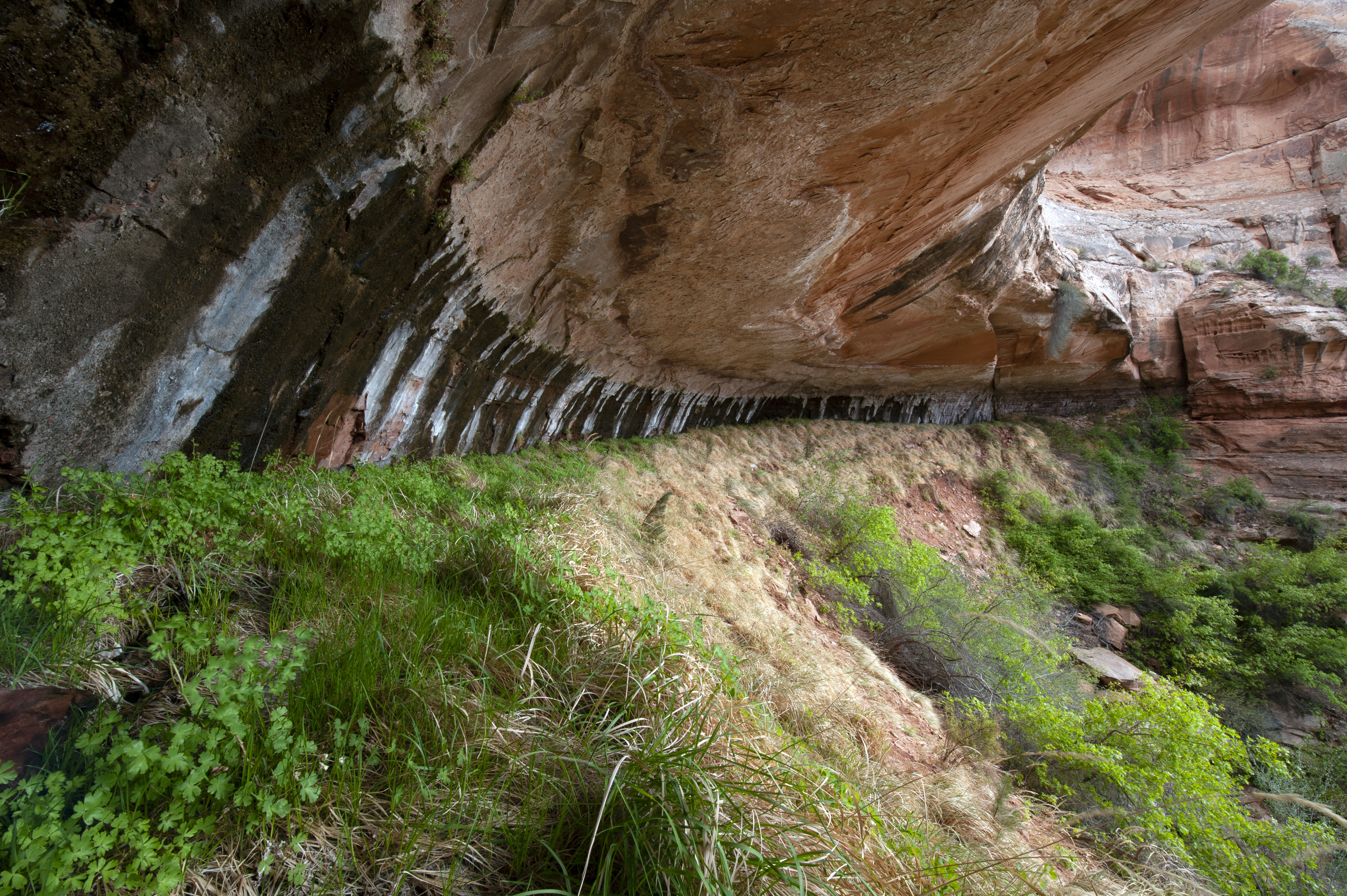
Neck Spring Trail
~16 min drive
<p>A walk back in time, this loop trail passes historic ranching features and two springs where cowboys watered cattle.</p> <ul> <li><strong>Roundtrip Distance</strong>: 5.6 mi (9 km)</li> <li><strong>Time</strong>: 3-4 hrs</li> <li><strong>Elevation Change</strong>: 418 ft (1…
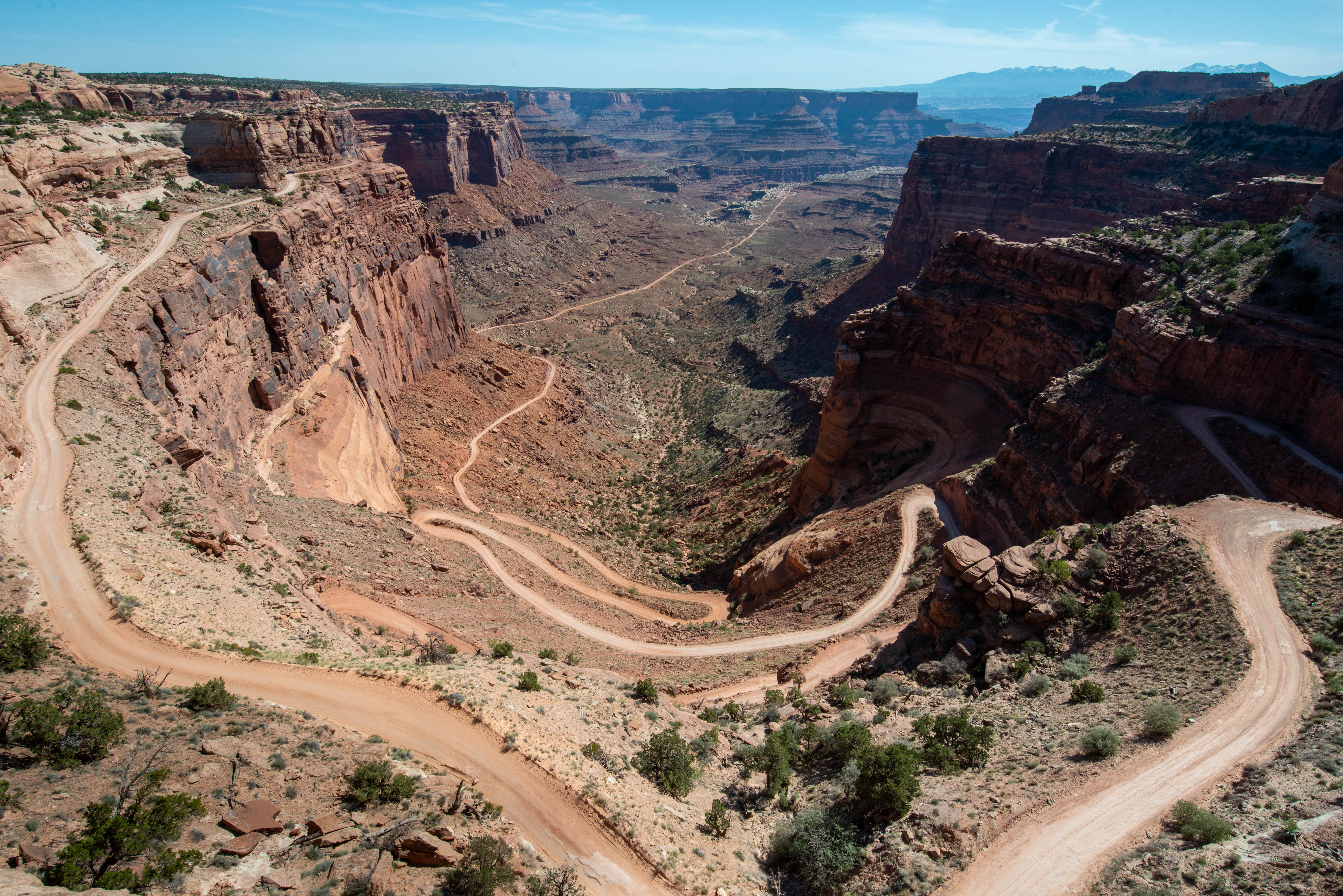
Shafer Trail Viewpoint
~16 min drive
<p>A short, 0.9 mi (1.4 km) drive past the Island in the Sky visitor center leads to a breathtaking view of the Shafer Trail. <br /> <br /> The Shafer Trail at the Island in the Sky district of Canyonlands National Park is an iconic road that descends 1,500 feet (457 m) throug…
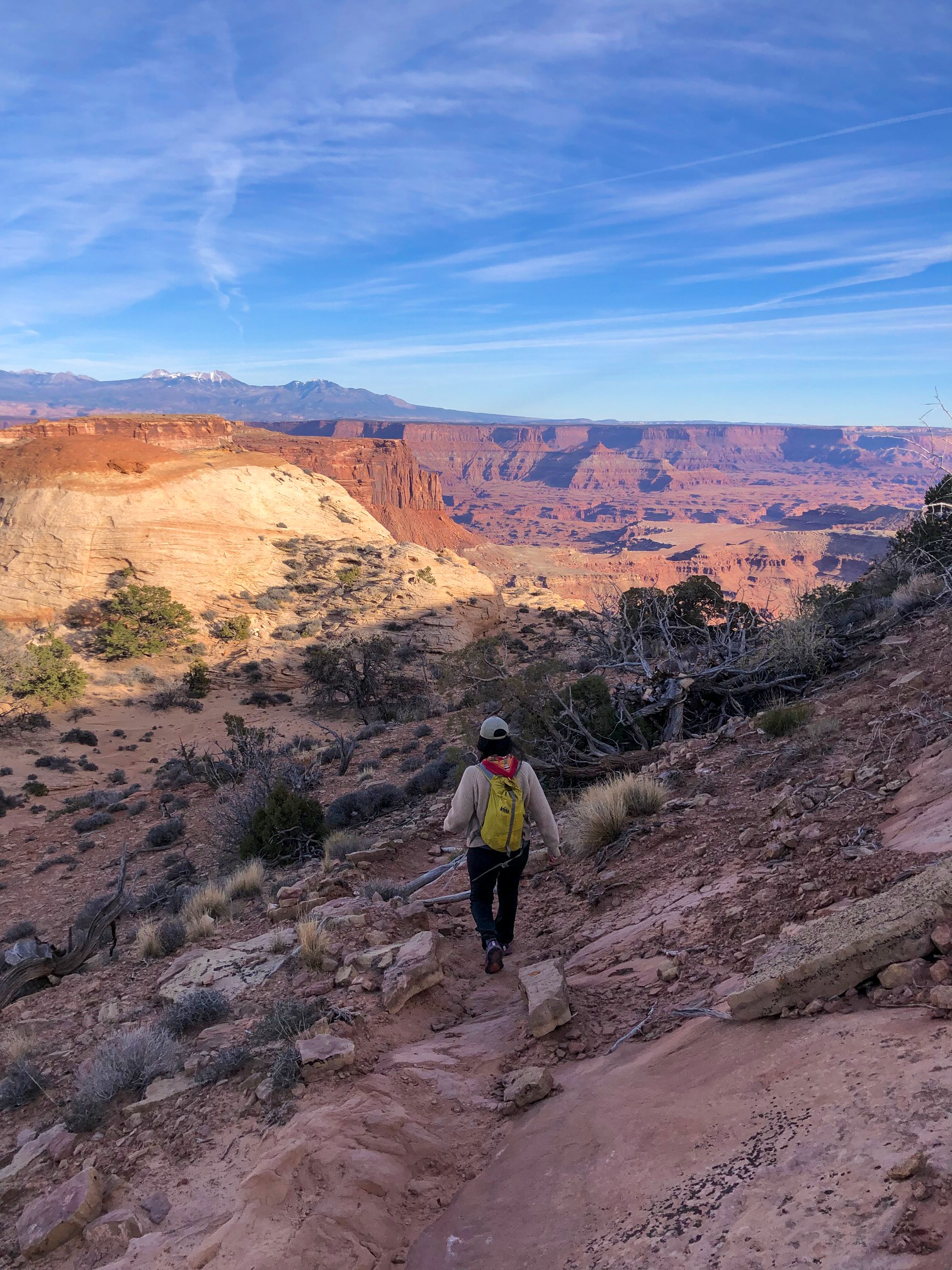
Lathrop Trail
~17 min drive
<p>The Lathrop Trail crosses a wide grassland on the mesa top, enjoys views of Colorado River, then descends into the canyon below. For a moderate trail option, hikers often turn around at the canyon rim. Continuing down to the White Rim Road means a strenuous hike back out.</…
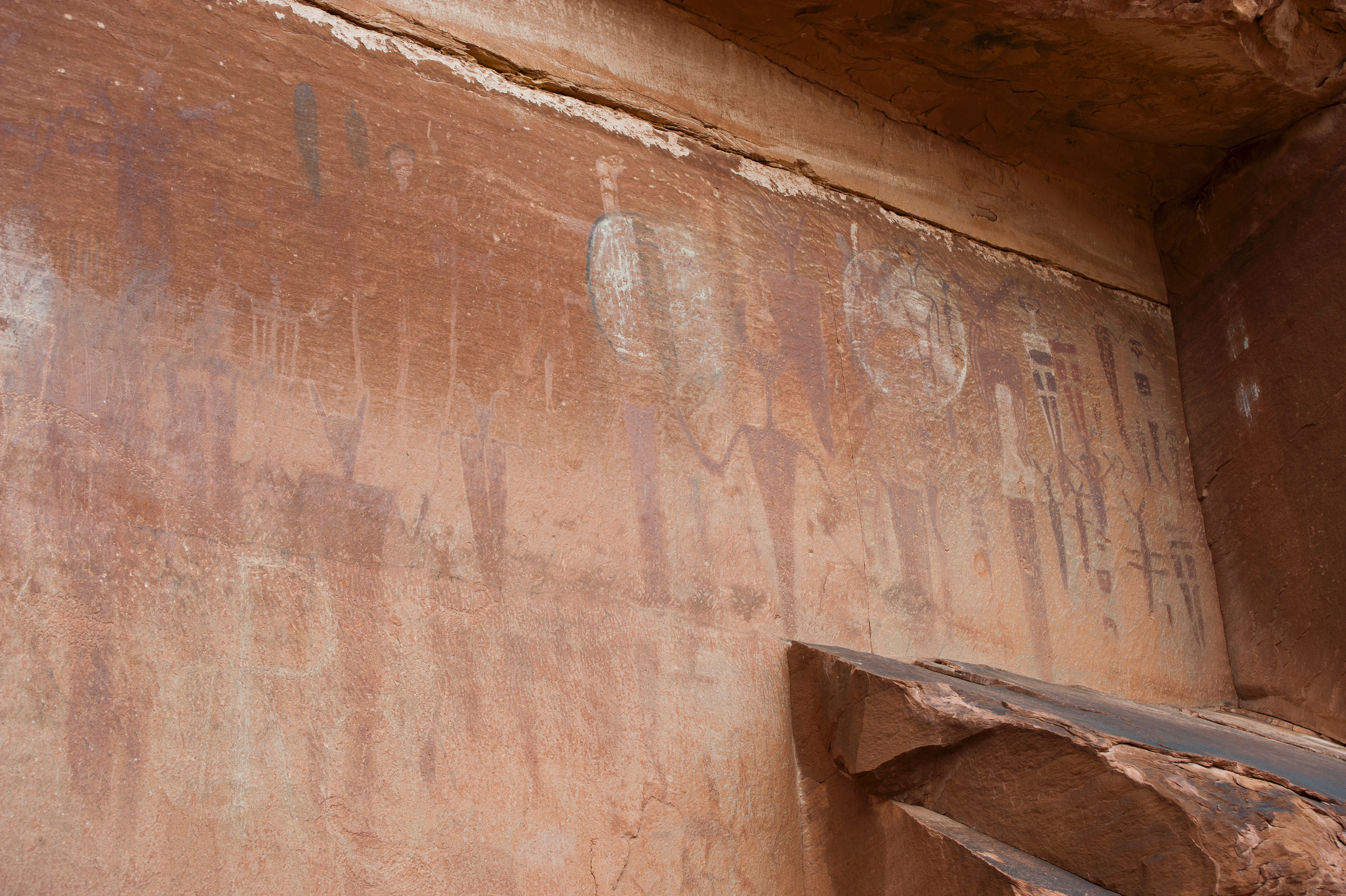
Courthouse Wash Panel Trail
~17 min drive
<p>Where Courthouse Wash joins the Colorado River, walk across the small bridge and up a short trail to see a panel of rock markings created by Indigenous travelers.</p> <ul> <li aria-setsize="-1" data-aria-level="4" data-aria-posinset="1" data-font="Symbol" data-leveltext=""…
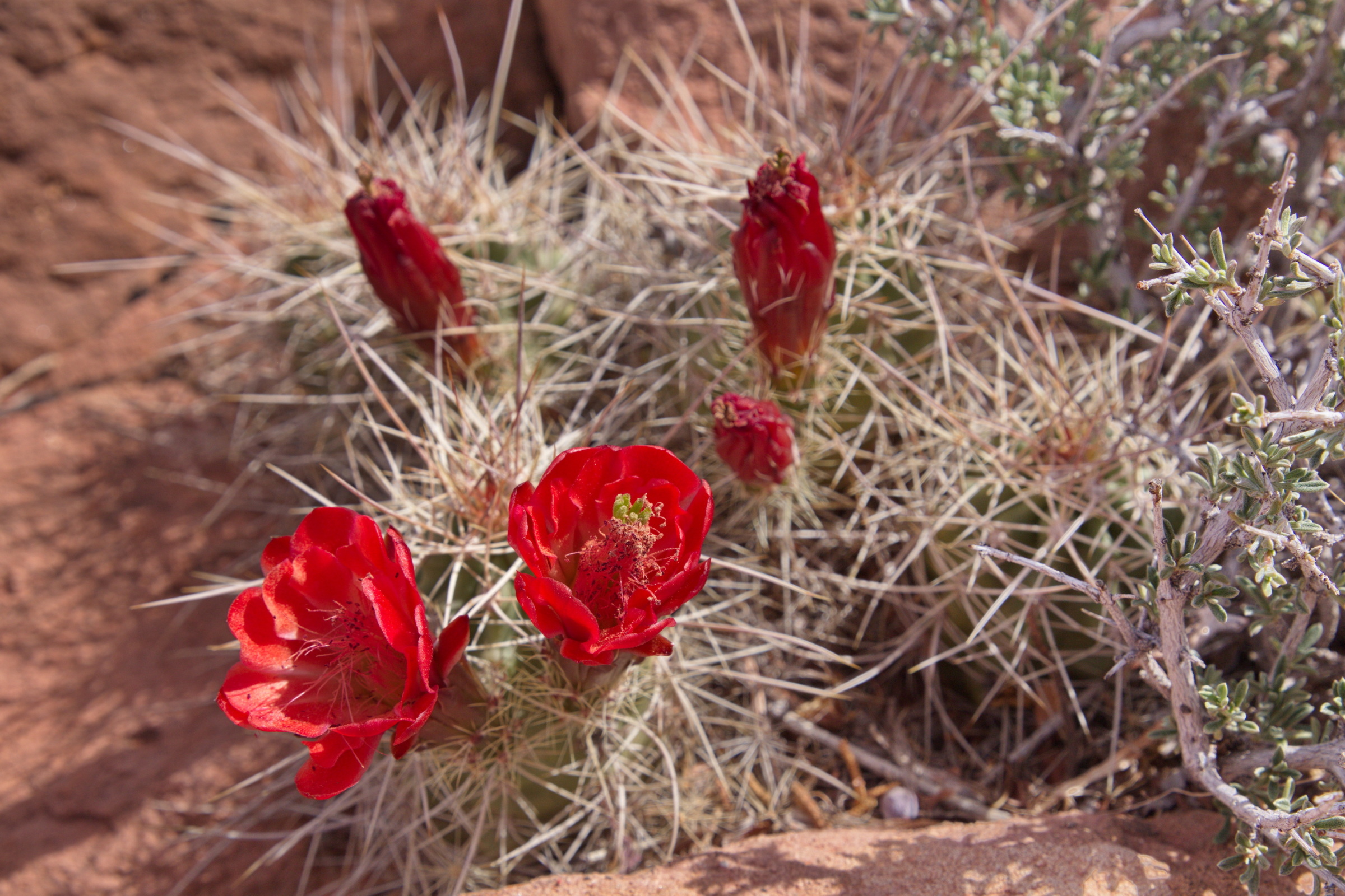
Arches Visitor Center Nature Trail
~18 min drive
<p>Walk a short path behind the visitor center to learn about native desert plants and their traditional uses.</p> <ul role="list"> <li aria-setsize="-1" data-aria-level="4" data-aria-posinset="1" data-font="Symbol" data-leveltext="" data-listid="5" role="listitem"> <p paraei…
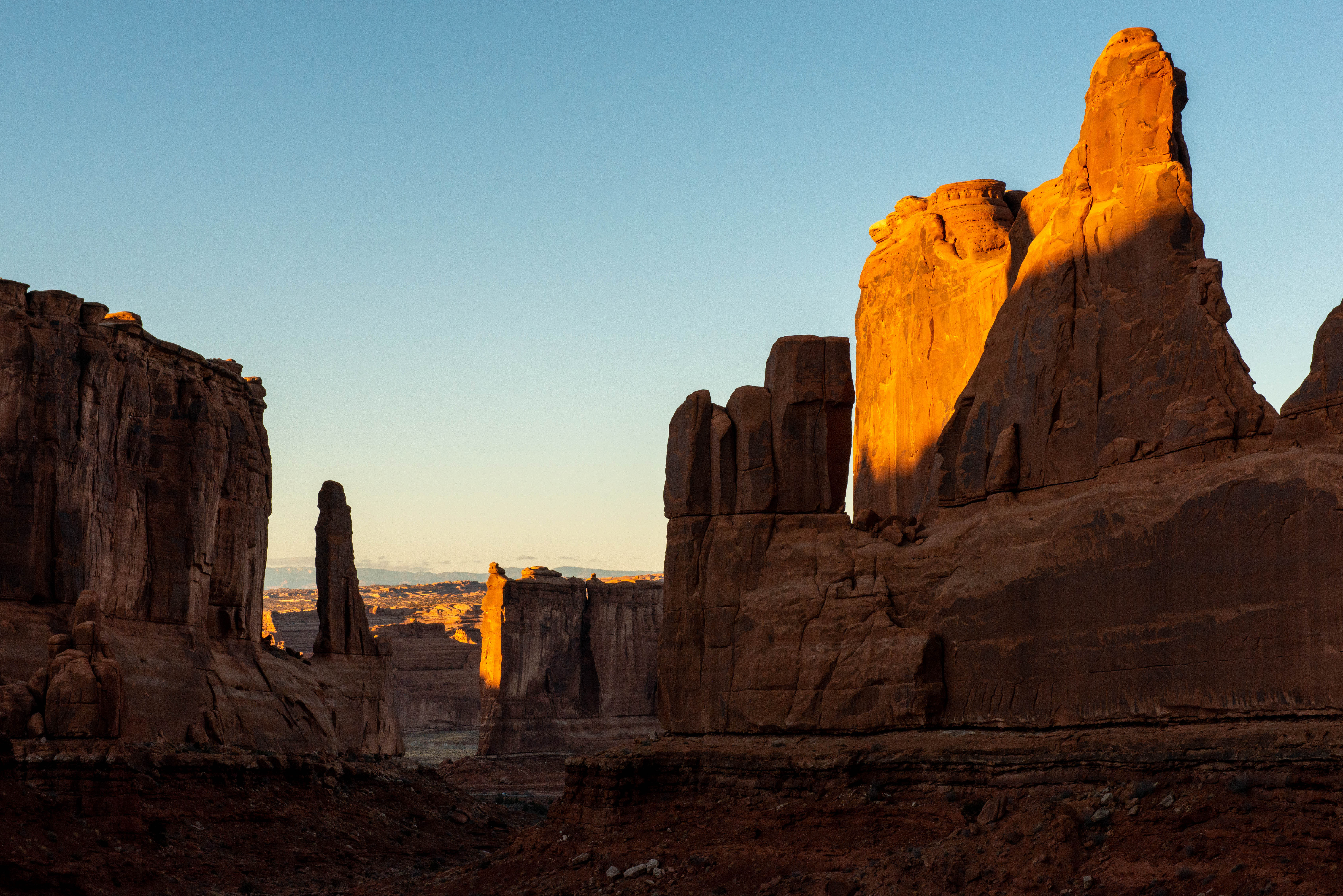
Park Avenue Viewpoint and Trail
~19 min drive
<p>A paved sidewalk leads to a viewpoint down a corridor of towering rock walls and curiously carved spires. Descend stairs to walk the trail among massive monoliths toward Courthouse Towers Viewpoint one mile away.</p> <ul role="list"> <li aria-setsize="-1" data-aria-level="4…
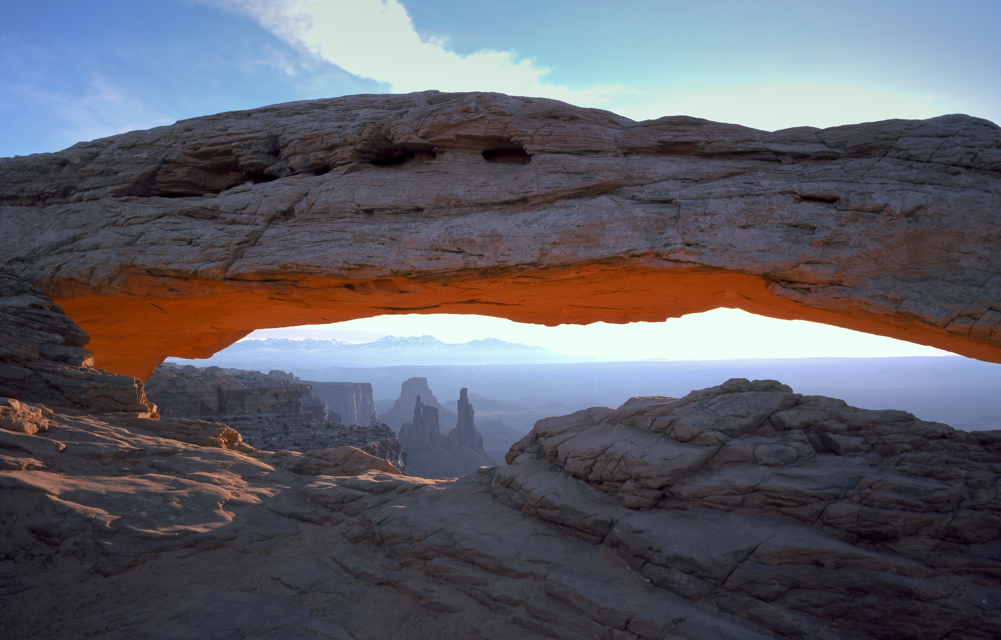
Mesa Arch Trail
~22 min drive
<p>Perched at the edge of the mesa top, this 27-foot-long (8.3 m) arch frames views of the canyon far below and the La Sal Mountains in the distance. The loop hike has slightly more elevation change at the beginning if you travel counter-clockwise. To reduce the number of stai…
Aztec Butte Trail
~23 min drive
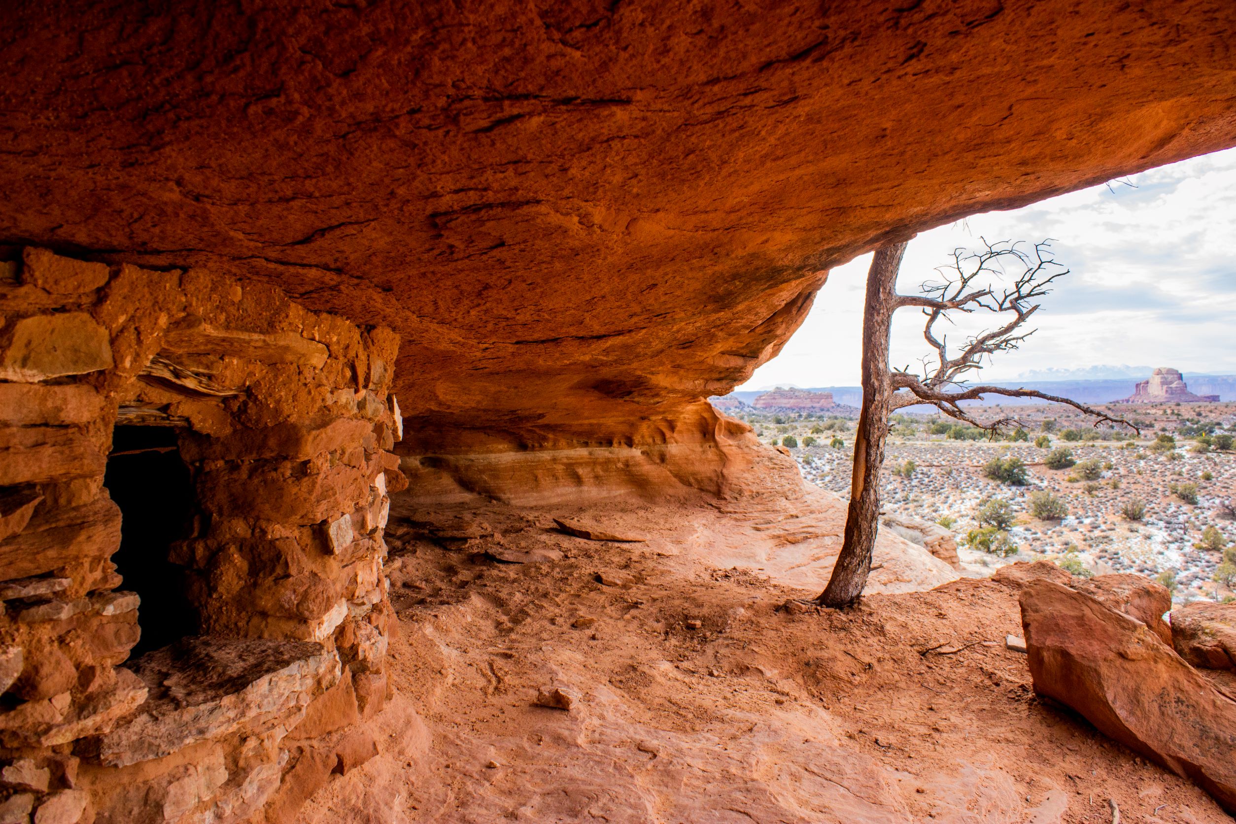
<p paraeid="{6586b1d3-5177-47f9-8426-e7e98ddba119}{68}" paraid="308520971">Indigenous people once stored foods and medicines in rock structures, called granaries, built into alcoves here. Despite the current name, they were not part of the Aztec civilization. <em>Do not touch…
Murphy Loop Trail
~24 min drive
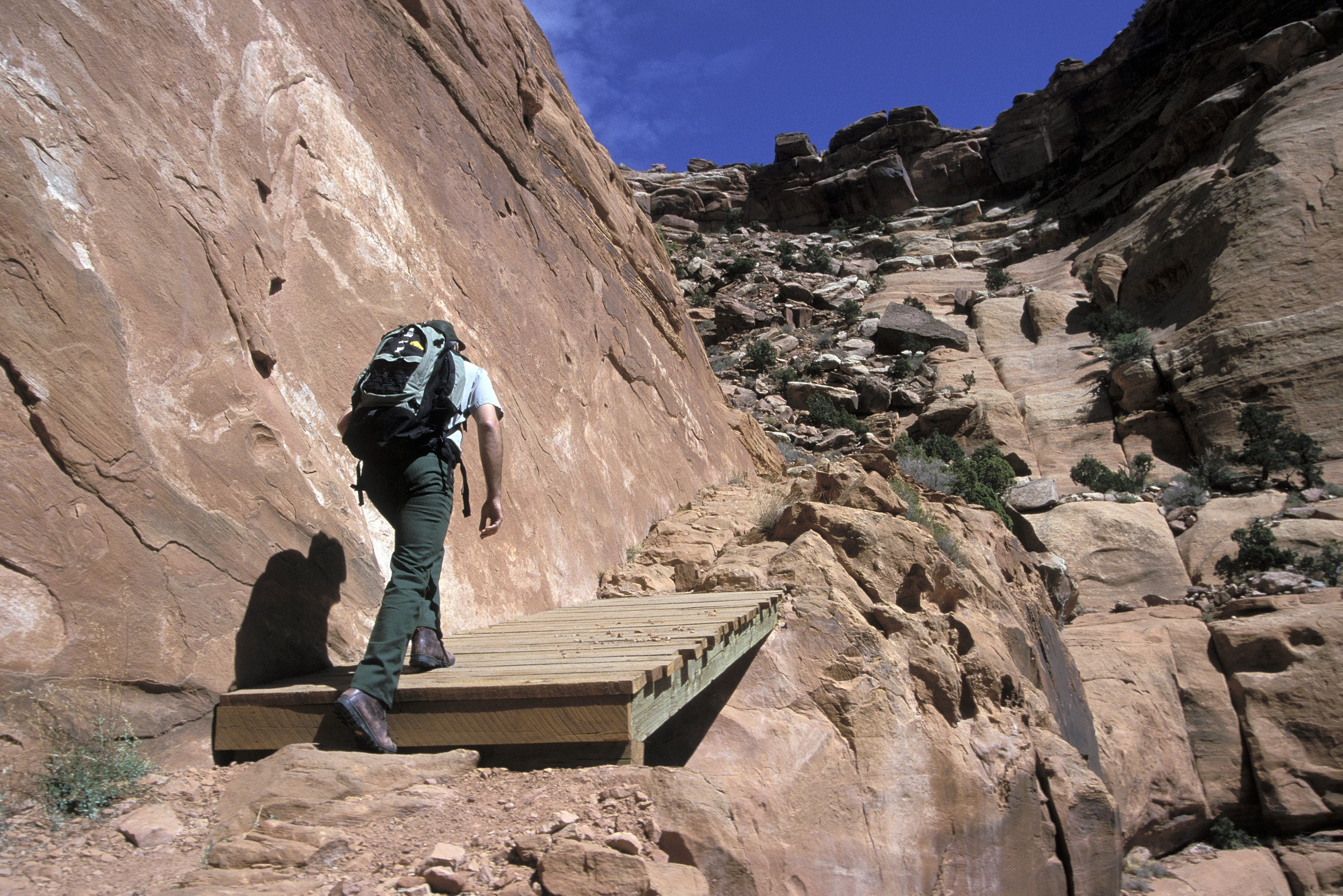
<p>A great full-day hike, the Murphy Trail offers outstanding views from atop the Murphy Hogback and White Rim Road. <em>This trail starts at the same trailhead as the moderate Murphy Point Overlook Trail. Pay close attention at the junction.</em></p> <ul> <li><strong>Roundtri…
Local operatorsoffering guided trips. You book directly with them — Roamze doesn’t take a cut.
Moab Rim Campark
Hiking business nearby (~9 mi away) — hasn't claimed their Roamze page yet
Up The Creek Campground
Hiking business nearby (~9 mi away) — hasn't claimed their Roamze page yet
Spanish Trail RV Park
Hiking business nearby (~9 mi away) — hasn't claimed their Roamze page yet