Joes Valley Pavilion Group Campground
Campground
Campground · 1.0 mi from the trail
Caution today
Agency alerts are in effect for this area; weather is good · USFS, OpenWeather · checked 10 h ago
No closures listed
The Forest Service lists no closures for Manti-La Sal National Forest.
As of · Source: USFS · Manti-La Sal National Forest. Agencies don't list every closure — check before you go.
The CCC Trail - Trail Mtn is a 6.5-mile out-and-back hike in the Ferron Ranger District of Manti-La Sal National Forest in Utah, managed by the Forest Service. The trail rises from about 7,583 feet to about 8,387 feet, a climb of roughly 971 feet one way, and is rated hard. Summer is the most comfortable time to go. Typical averages from the Electric Lake weather station, about 21 miles away and at a similar elevation, show July highs around 74°F with lows near 41°F, while winter highs stay in the mid-20s. The trail is on natural surface and allows both horses and bikes. Joes Valley Pavilion Group Campground sits about a mile away, and the Littles Creek Loop Trail and Orange Trail are within about 1.6 miles. Climbers can find Joe's Valley about 1.7 miles off.
Joes Valley Pavilion Group Campground
Campground
 If it rainsGranary arts, CC BY-SA 4.0 · Wikimedia Commons
Granary Arts
Museum
Places © OpenStreetMap contributors · Photos: Granary arts, CC BY-SA 4.0 (commons)
More in Mount Pleasant Joes Valley Pavilion Group Site aCampingPhoto: Recreation.gov (RIDB) / public domain1 mi
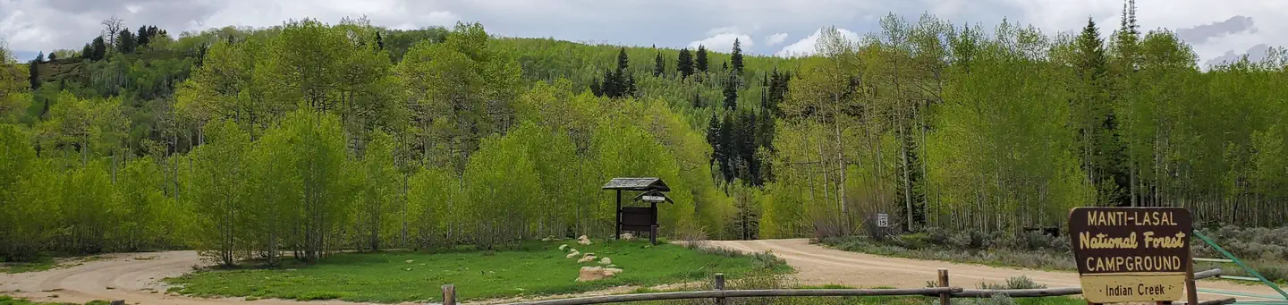 Indian CreekRiver fishing9.8 mi
Source: Roamze catalog (indexable pages within 10 miles, PostGIS distance)
Best months: June–September. Best months have typical highs of 55–85 °F, lows of 30 °F or warmer (32 °F where the station doesn't record snow), at most one snowy day and no more than 12 wet days.
Jan
27° / 4°
12 wet
Feb
30° / 3°
11 wet
Mar
38° / 10°
10 wet
Apr
43° / 18°
11 wet
May
55° / 27°
9 wet
Jun
66° / 35°
6 wet
Jul
74° / 41°
5 wet
Aug
72° / 40°
8 wet
Sep
63° / 32°
7 wet
Oct
48° / 22°
8 wet
Nov
35° / 15°
10 wet
Dec
25° / 2°
10 wet
Typical high / low (°F) and days with rain or snow, 1991–2020. Measured at Electric Lake, UT, 20.7 mi away at 8,380 ft. This station doesn't record snowfall. Source: NOAA NCEI U.S. Climate Normals 1991–2020.

