Brighton LDS Girls Camp
Campground
Campground · 0.4 mi from the trail
No closures listed
The Forest Service lists no closures for Uinta-Wasatch-Cache National Forest.
As of · Source: USFS · Uinta-Wasatch-Cache National Forest. Agencies don't list every closure — check before you go.
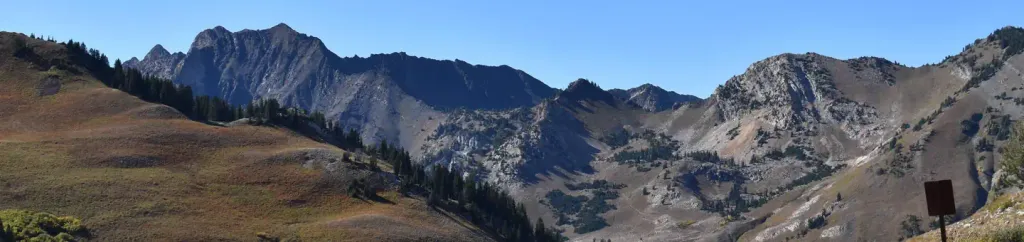
Brighton Lakes is a short, easy hike in the Salt Lake Ranger District of the Uinta-Wasatch-Cache National Forest in Utah. The trail is about a quarter mile long, with a low point of 9,356 feet and a high of 9,419 feet, and it makes an out-and-back trip with a total elevation gain of about 50 feet. Summer is the most comfortable time to go. Typical averages from a nearby weather station at Silver Lake Brighton show July highs around 72°F with lows near 47°F, while winter highs stay around 30°F. That station sits roughly 700 feet below the trail, so temperatures on the hike run a little cooler. The trail is open from June 1 to October 31. Bikes are allowed, but horses are not, and the route is not accessible. Catherine's Pass Trail and Clayton Peak both start about 0.1 mile away, and Lake Mary is about 0.3 mile off. For an overnight stay, Albion Basin campground is about 1.7 miles away.
Brighton LDS Girls Camp
Campground
Molly Green's
Pub
 If it rainsSaalebaer, CC0 · Wikimedia Commons
Park City Museum
Museum
Places © OpenStreetMap contributors · Photos: Saalebaer, CC0 (commons)
More in HeberNot on Roamze yet. Their page has how to reach them.
 Tahoe SimulatorRock climbingPhoto: marcomorahuizar, CC0 (via Flickr)0.2 miBrighton's Frighton WallRock climbingPhoto: marcomorahuizar, CC0 (via Flickr)0.3 mi
 Albion BasinCampingPhoto: Recreation.gov (RIDB) / public domain1.7 mi
Source: Roamze catalog (indexable pages within 10 miles, PostGIS distance)
Best months: June–September. Best months have typical highs of 55–85 °F, lows of 30 °F or warmer (32 °F where the station doesn't record snow), at most one snowy day and no more than 12 wet days.
Jan
31° / 11°
Feb
31° / 12°
Mar
37° / 17°
Apr
43° / 22°
May
52° / 30°
Jun
64° / 39°
Jul
72° / 47°
Aug
71° / 46°
Sep
62° / 38°
Oct
49° / 28°
Nov
37° / 18°
Dec
30° / 11°
Typical high / low (°F) and days with rain or snow, 1991–2020. Measured at Silver Lake Brighton, UT, 0.8 mi away at 8,740 ft. The station sits about 700 ft lower than this place, so expect it a little cooler here. This station doesn't record snowfall. Source: NOAA NCEI U.S. Climate Normals 1991–2020.

