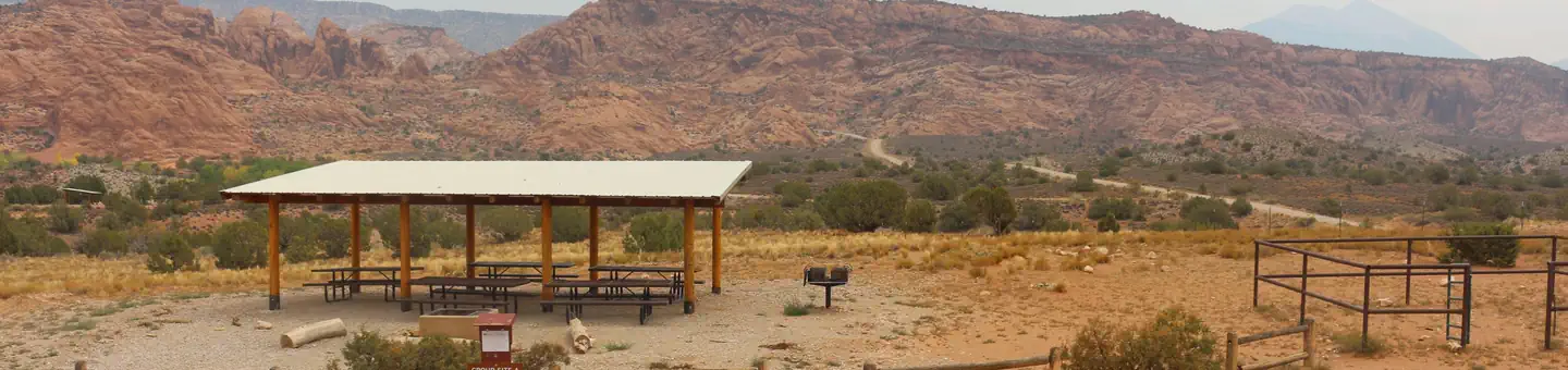
Sweet Spot Camping Lot
Campground
Campground · 5.2 mi from the trail
Clear today
Weather is good · OpenWeather · checked 11 h ago
Meadow Hollow Reservoir is a 18-acre reservoir near Kanarraville, Utah, at about 8,348 feet.
Sweet Spot Camping Lot
Campground
Costa Vida
Fast food
State park and museum in the United States
Places © OpenStreetMap contributors
More in EnochNot on Roamze yet. Their page has how to reach them.
Best months: June–September. Best months have typical highs of 55–85 °F, lows of 30 °F or warmer (32 °F where the station doesn't record snow), at most one snowy day and no more than 12 wet days.
Jan
30° / 10°
Feb
32° / 12°
Mar
39° / 17°
Apr
44° / 18°
May
55° / 27°
Jun
67° / 36°
Jul
71° / 42°
Aug
68° / 43°
Sep
61° / 35°
Oct
48° / 24°
Nov
38° / 17°
Dec
28° / 10°
Typical high / low (°F) and days with rain or snow, 1991–2020. Measured at Brian Head, UT, 18.8 mi away at 9,770 ft. The station sits about 1,400 ft higher than this place, so expect it a little warmer here. This station doesn't record snowfall. Source: NOAA NCEI U.S. Climate Normals 1991–2020.
SEE
Panguitch Lake
~47 min drive
SEE
Aspen Lake
~18 min drive
Aspen Lake is a 9-acre lake near Cedar City, Utah, at about 8,079 feet.
SEE
Navajo Lake
~26 min drive
SEE
Pine Valley Reservoir
~39 min drive
SEE
Cedar City Ranger District
~42 min drive
SEE
Pine Valley Ranger District
~44 min drive
SEE
Horse Lake
~50 min drive
Horse Lake is a 5-acre lake near Panguitch, Utah, at about 9,329 feet.
SEE
Panguitch Lake
~51 min drive
SEE
Sand Hollow Reservoir
~53 min drive
Sand Hollow Reservoir is a 1,176-acre reservoir near Hurricane, Utah, at about 3,049 feet. It is managed by the state park agency.
SEE
Baker Reservoir
~53 min drive
Baker Reservoir is a 40-acre reservoir near Central, Utah, at about 4,860 feet.
Also worth it near here
 Photo: Daniel Mayer (talk · contribs), CC BY-SA 1.0 (via Wikimedia Commons)
Horse Ranch Mountain
~7 min drive
 Photo: John Fowler from Placitas, NM, USA, CC BY 2.0 (via Wikimedia Commons)
South Fork
~9 min drive
 Photo: InSapphoWeTrust from Los Angeles, California, USA, CC BY-SA 2.0 (via Wikimedia Commons)
South Fork of Taylor Creek Trail
~10 min drive
 Photo: National Park Service, Public domain (via Wikimedia Commons)
Kolob Arch
~11 min drive