 Photo: David Jolley, CC BY-SA 3.0 (via Wikimedia Commons)
Paddling · 200 spots
Featured spots
Photo: David Jolley, CC BY-SA 3.0 (via Wikimedia Commons)Canoeing
American Fork
Sundance, Utah
 Photo: Michael Fiegle, CC BY-SA 3.0 (via Wikimedia Commons)
Canoeing
Ash Creek
Toquerville, Utah
 Photo: Staplegunther at English Wikipedia, CC BY 2.5 (via Wikimedia Commons)
Canoeing
Beaver Dam Wash
Gunlock, Utah
 Photo: Clyde Charles Brown, CC BY-SA 4.0 (via Wikimedia Commons)
Canoeing
Cottonwood Creek
Castle Dale, Utah
 Photo: An Errant Knight, CC BY-SA 4.0 (via Wikimedia Commons)
Canoeing
Diamond Fork
Springville, Utah
All spots · 200 of 207 spots

Boat launch
7800 South Access
Utah
Float trip
Antelope Flat (Ashley National Forest, UT)
Utah

Boat launch
Antelope Flat Boating Site
Utah
Float trip
Arch Dam Campground
Utah
Canoeing
Ashley Creek
Vernal, Utah
Boat launch
Aspen Boat Ramp
Utah

Canoeing
Avintaquin Creek
Fruitland, Utah
Canoeing
Beaver River
Kanosh, Utah

Canoeing
Big Brush Creek
Vernal, Utah
Canoeing
Blacksmith Fork
Providence, Utah
Boat launch
Bridge Hollow Boat Ramp
Utah
Boat launch
Bridgeport
Utah
Float trip
Browne Lake Group Sites
Utah

Canoeing
Brush Creek
Vernal, Utah
Boat launch
Butler Wash Put-In / Take Out
Utah
Float trip
Canyon Rim
Utah
Canoeing
Carter Creek
Manila, Utah
Boat launch
Causey Dam Boat Launch
Utah
Boat launch
Causey North Boat Launch
Utah
Boat launch
Causey South Boat Launch
Utah
Boat launch
Cedar Springs Boating Site
Utah
Float trip
Cedar Springs Campground
Utah
Boat launch
Cemetery Point Boat Ramp
Utah
Canoeing
Chalk Creek
Coalville, Utah
Keep exploring — more water worth the drive
Photo: An Errant Knight, CC BY-SA 4.0 (via Wikimedia Commons)Diamond Fork
~47 min drive
Diamond Fork is a 19-mile paddling stretch near Springville, Utah. It flows year-round. USGS models an average flow of about 166 cfs and a gradient of about 83.7 feet per mile. Land along it is managed by the U.S. Forest Service.
Aspen Boat Ramp
~23 min drive
A worthwhile stop near Utah.
 Photo: An Errant Knight, CC BY-SA 4.0 (via Wikimedia Commons)
Thistle Creek
~56 min drive
Thistle Creek is a 23-mile paddling stretch near Fairview, Utah. It flows year-round. USGS models an average flow of about 82 cfs and a gradient of about 69.5 feet per mile. Land along it is managed by the U.S. Forest Service.
Soldier Creek Boat Ramp
~27 min drive
A worthwhile stop near Utah.
 Photo: An Errant Knight, CC BY-SA 4.0 (via Wikimedia Commons)
Right Fork Hobble Creek
~56 min drive
Right Fork Hobble Creek is a 7.5-mile paddling stretch near Springville, Utah. It flows year-round. USGS models an average flow of about 76 cfs and a gradient of about 132.6 feet per mile. Land along it is managed by the U.S. Forest Service.
Scofield Reservoir Boat Launch
~28 min drive
Scofield Reservoir Boat Launch is a boat launch in Utah.
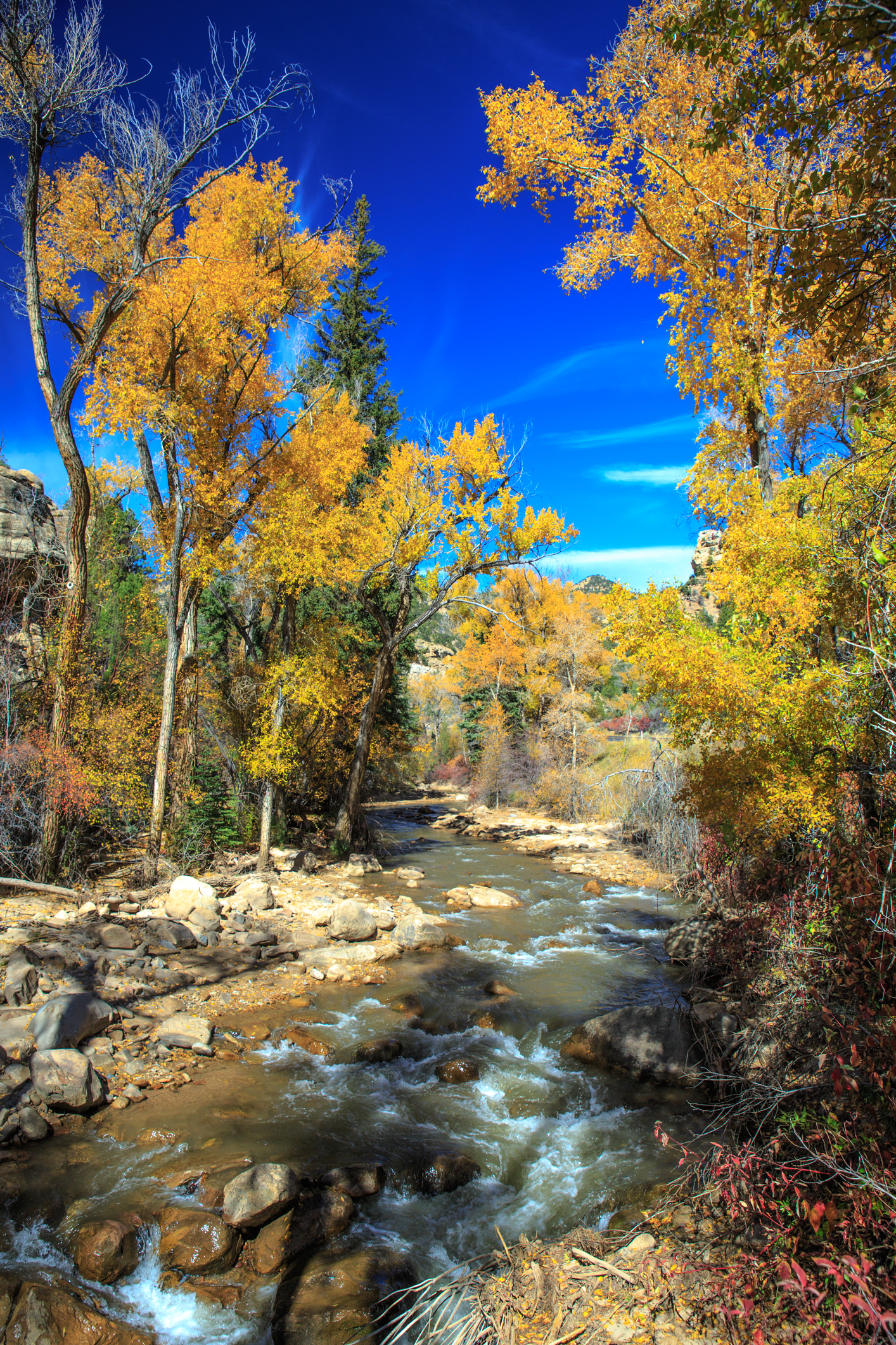 Photo: Murray Foubister, CC BY-SA 2.0 (via Wikimedia Commons)
Huntington Creek
~1h 13m drive
Huntington Creek is a 59-mile paddling stretch near Huntington, Utah. It is intermittent and may run dry in some seasons. USGS models an average flow of about 265 cfs and a gradient of about 54.5 feet per mile.
Renegade Boat Ramp
~30 min drive
A worthwhile stop near Utah.
 Photo: An Errant Knight, CC BY-SA 4.0 (via Wikimedia Commons)
Hobble Creek
~1h 6m drive
Hobble Creek is a 10-mile paddling stretch near Springville, Utah. It flows year-round. USGS models an average flow of about 91 cfs and a gradient of about 51.9 feet per mile.
Strawberry Boat Ramp
~34 min drive
A worthwhile stop near Utah.
Avintaquin Creek
~17 min drive
Avintaquin Creek is a 16-mile paddling stretch near Fruitland, Utah. It is intermittent and may run dry in some seasons. USGS models an average flow of about 37 cfs and a gradient of about 47.8 feet per mile.
Currant Creek Boat Ramp
~46 min drive
A worthwhile stop near Utah.

