Iron Mine
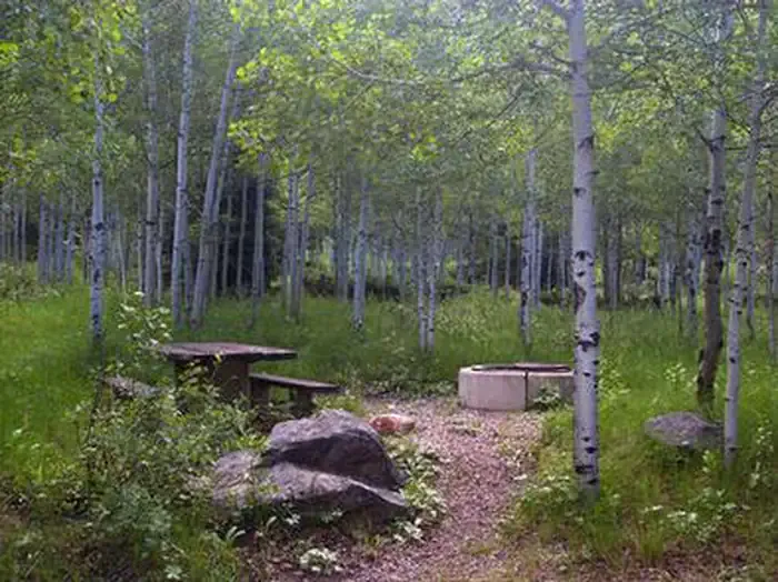 Photo: Recreation.gov (RIDB) / public domain
- 26
- sites
- May–Sep
- best months
Caution today
Agency alerts are in effect for this area; weather is marginal · USFS, OpenWeather · checked 8 h ago
Is Iron Mine open right now?
Alert in the area
The Forest Service lists 3 alerts for Ashley National Forest.
Flaming Gorge Fall Prescribed Burn
Agency alert covering Ashley National Forest · USFS · Ashley National Forest
Anvil Draw Boat Ramp Temporary Closure
Agency alert covering Ashley National Forest · Order 0401-26-01-03 · USFS · Ashley National Forest
Flaming Gorge Reservoir Water Levels
Agency alert covering Ashley National Forest · USFS · Ashley National Forest
As of · Source: USFS · Ashley National Forest. Agencies don't list every closure — check before you go.
- 26 sites for group and tent and RV campingReservable on Recreation.gov
- At 7,512 ft
- Near DuchesneDuchesne Ranger District · Ashley National Forest
Iron Mine Campground in nestled in the scenic North Fork Drainage off Highway 35, about 18 miles from Tabiona, Utah. The North Fork Drainage lies on the southern slope of the beautiful Uinta Mountains in northeastern Utah. Visitors enjoy fly-fishing and exploring many local trails.
Local outfitters
- Mountain Valley RV Resort28 mi away
- Camp Kostopulos49 mi away
Not on Roamze yet. Their page has how to reach them.
Best time to go · May–Sep
Best time to visit Iron Mine
Best months: May–September. Best months have typical highs of 55–85 °F, lows of 30 °F or warmer (32 °F where the station doesn't record snow), at most one snowy day and no more than 12 wet days.
Jan
31° / 7°
Feb
34° / 12°
Mar
41° / 18°
Apr
49° / 24°
May
59° / 33°
Jun
69° / 40°
Jul
77° / 48°
Aug
77° / 49°
Sep
67° / 41°
Oct
55° / 31°
Nov
40° / 22°
Dec
31° / 11°
Typical high / low (°F) and days with rain or snow, 1991–2020. Measured at Moon Lake, UT, 20.8 mi away at 8,125 ft. The station sits about 600 ft higher than this place, so expect it a little warmer here. This station doesn't record snowfall. Source: NOAA NCEI U.S. Climate Normals 1991–2020.
Keep exploring — more campsites worth the drive
BED
Hades
~3 min drive
BED
Aspen (ut)
~8 min drive
BED
Splash Dam Campsite Camping Area
~4 min drive
Splash Dam Campsite Camping Area is a campground in Utah at about 9,173 feet. It is managed by the U.S. Forest Service.
BED
Aspen Grove
~8 min drive
BED
Duchesne Tunnel Camp
~11 min drive
Duchesne Tunnel Camp is a campground in Utah with 70 sites.
BED
Spring Canyon Camp
~11 min drive
Spring Canyon Camp is a campground in Utah with 500 sites.
BED
Shady Dell
~12 min drive
BED
Site 28
~13 min drive
Site 28 is a campground in Utah at about 7,905 feet. It is managed by the U.S. Forest Service.
BED
Site 27
~13 min drive
Site 27 is a campground in Utah at about 7,904 feet. It is managed by the U.S. Forest Service.
BED
Site 29
~13 min drive
Site 29 is a campground in Utah at about 7,907 feet. It is managed by the U.S. Forest Service.

Iron Mine
26 sites for group and tent and RV camping
