North Llano River
- 27.8 mi
- distance
- 2,251 ft
- high point
- Feb–Apr, Oct–Dec
- best months
The North Llano River is a canoeing destination in Texas, about 9 miles from the town of Roosevelt. It is one of several paddling waters in the Llano region, with the Dry Llano River roughly 8 miles away. Spring and fall are the most comfortable times to paddle here. Typical averages from the nearby Ft. McKavett weather station run from highs around 80°F with lows near 50°F in April and October to about 60°F and 30°F in January. Midsummer highs average in the mid-90s. For more time on the water, the Dry Llano River lies within easy reach.
Source: Roamze catalog (indexable pages within 10 miles, PostGIS distance)
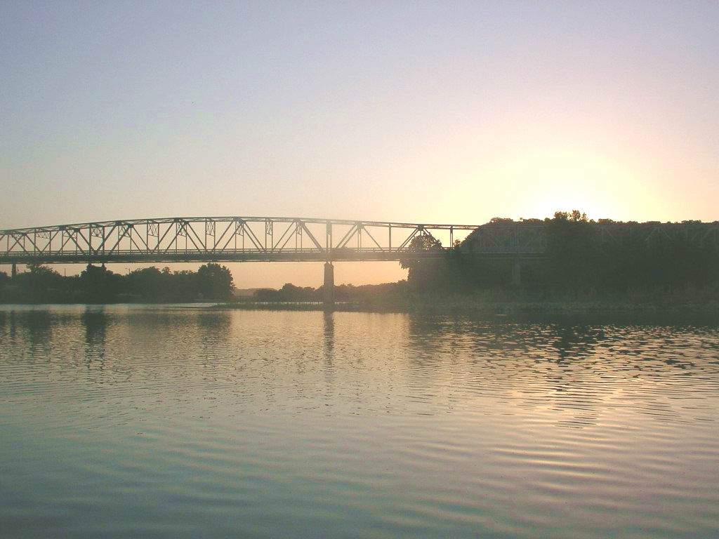 South Llano RiverCanoeing · ~34 min drivePhoto: KenB, CC BY-SA 3.0 (via Wikimedia Commons)
 Johnson ForkCanoeing · ~59 min drivePhoto: JERRYE & ROY KLOTZ M.D., CC BY-SA 4.0 (via Wikimedia Commons)
 San Saba RiverCanoeing · ~1h 4m drivePhoto: Billy Hathorn, CC BY 3.0 (via Wikimedia Commons)
- Dry Llano RiverCanoeing · ~13 min drive
- North Valley ProngCanoeing · ~42 min drive
- Paint CreekCanoeing · ~60 min drive
- South Concho RiverCanoeing · ~1h 11m drive
- James RiverCanoeing · ~1h 23m drive
- Pulliam CreekCanoeing · ~1h 25m drive
- Little Devils RiverCanoeing · ~1h 25m drive
Best time to visit North Llano River
Best months: February–April and October–December. Best months have typical highs of 55–85 °F, lows of 30 °F or warmer (32 °F where the station doesn't record snow), at most one snowy day and no more than 12 wet days.
Jan
60° / 30°
4 wet
Feb
65° / 34°
5 wet
Mar
71° / 43°
5 wet
Apr
80° / 50°
5 wet
May
86° / 60°
6 wet
Jun
92° / 67°
5 wet
Jul
95° / 69°
5 wet
Aug
94° / 68°
5 wet
Sep
88° / 61°
5 wet
Oct
80° / 51°
5 wet
Nov
69° / 40°
5 wet
Dec
61° / 32°
4 wet
Typical high / low (°F) and days with rain or snow, 1991–2020. Measured at Ft Mckavett, TX, 22.8 mi away at 2,169 ft. This station doesn't record snowfall. Source: NOAA NCEI U.S. Climate Normals 1991–2020.
