Pulliam Creek
- 20.8 mi
- distance
- 2,136 ft
- high point
- Oct–Apr
- best months
Pulliam Creek is a 21-mile paddling stretch near Rocksprings, Texas. It is intermittent and may run dry in some seasons. USGS models an average flow of about 37 cfs and a gradient of about 26.5 feet per mile.
Local outfitters
- Josh's Frio River Outfitter31 mi away
Not on Roamze yet. Their page has how to reach them.
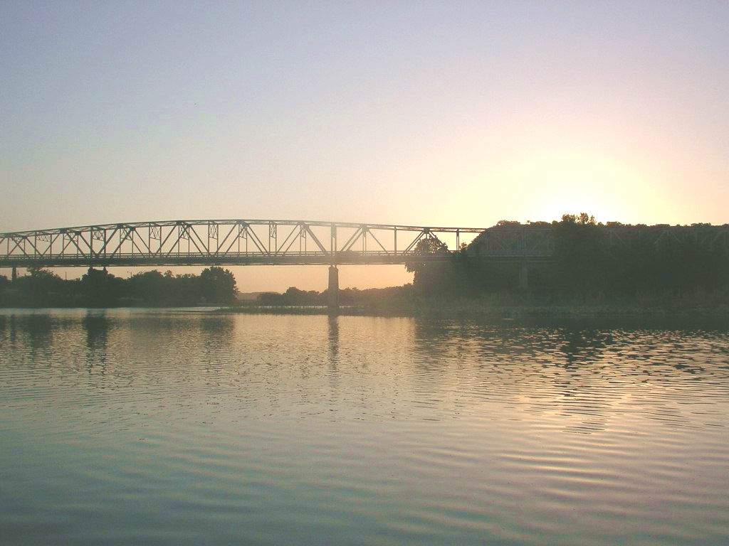 South Llano RiverCanoeing · ~51 min drivePhoto: KenB, CC BY-SA 3.0 (via Wikimedia Commons)
 Johnson ForkCanoeing · ~1h 21m drivePhoto: JERRYE & ROY KLOTZ M.D., CC BY-SA 4.0 (via Wikimedia Commons)
- West Nueces RiverCanoeing · ~28 min drive
- Dry Frio RiverCanoeing · ~36 min drive
- West Frio RiverCanoeing · ~37 min drive
- Paint CreekCanoeing · ~51 min drive
- North Fork Guadalupe RiverCanoeing · ~1h 11m drive
- Dry Llano RiverCanoeing · ~1h 12m drive
- Sabinal RiverCanoeing · ~1h 13m drive
- North Prong Medina RiverCanoeing · ~1h 15m drive
Best time to visit Pulliam Creek
Best months: October–April. Best months have typical highs of 55–85 °F, lows of 30 °F or warmer (32 °F where the station doesn't record snow), at most one snowy day and no more than 12 wet days.
Jan
63° / 35°
5 wet
Feb
67° / 39°
5 wet
Mar
73° / 46°
5 wet
Apr
80° / 54°
4 wet
May
86° / 63°
6 wet
Jun
91° / 70°
6 wet
Jul
94° / 71°
5 wet
Aug
95° / 71°
5 wet
Sep
90° / 65°
6 wet
Oct
81° / 56°
5 wet
Nov
71° / 45°
5 wet
Dec
64° / 36°
4 wet
Typical high / low (°F) and days with rain or snow, 1991–2020. Measured at Camp Wood, TX, 10.6 mi away at 1,480 ft. The station sits about 700 ft lower than this place, so expect it a little cooler here. This station doesn't record snowfall. Source: NOAA NCEI U.S. Climate Normals 1991–2020.

