Johnson Fork
 Photo: JERRYE & ROY KLOTZ M.D., CC BY-SA 4.0 (via Wikimedia Commons)
- 15.7 mi
- distance
- 2,037 ft
- high point
- Feb–Apr, Oct–Dec
- best months
Johnson Fork is a paddling stretch of about 16 miles (15.71) in Texas, near Junction, with the small community of Segovia about 4.3 miles away. The river is intermittent and may run dry in some seasons, so water levels vary with the time of year. It has a modeled average flow of about 59 cfs and drops at a gradient of about 18.8 feet per mile. Spring and fall bring the most comfortable temperatures. A nearby weather station in Junction records typical average highs around 81°F in April and October. Midsummer highs typically reach 96°F in July and August, and winter lows dip near freezing. For time off the water, the closest trails include the Frontera Trail about 8.8 miles away, the Mid-Canyon Trail at 9 miles, and the Fawn Trail and Windmill Hill Trail, each about 9.4 miles from the river.
- Frontera TrailHiking8.8 mi
- Mid-Canyon TrailHiking9 mi
- Fawn TrailHiking9.4 mi
- Windmill Hill TrailHiking9.4 mi
- Buck's ShortcutHiking9.5 mi
- Walter's WayHiking9.7 mi
- Double Loop 1Hiking9.7 mi
Source: Roamze catalog (indexable pages within 10 miles, PostGIS distance)
 Pedernales RiverCanoeing · ~52 min drivePhoto: AndreasSchwarz at German Wikipedia, CC BY-SA 3.0 (via Wikimedia Commons)
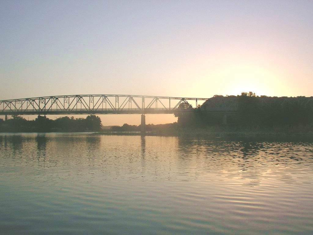 South Llano RiverCanoeing · ~57 min drivePhoto: KenB, CC BY-SA 3.0 (via Wikimedia Commons)
 San Saba RiverCanoeing · ~1h 5m drivePhoto: Billy Hathorn, CC BY 3.0 (via Wikimedia Commons)
 Llano RiverCanoeing · ~1h 6m drivePhoto: Billy Hathorn, CC BY-SA 3.0 (via Wikimedia Commons)
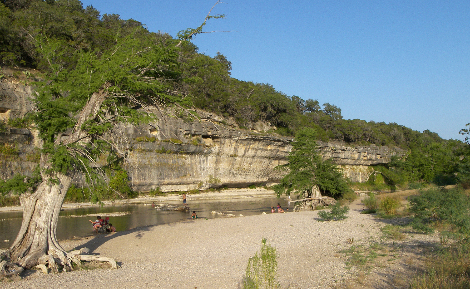 Guadalupe RiverCanoeing · ~1h 7m drivePhoto: Larry D. Moore, CC BY 4.0 (via Wikimedia Commons)
- Little Devils RiverCanoeing · ~27 min drive
- Paint CreekCanoeing · ~30 min drive
- James RiverCanoeing · ~31 min drive
- Johnson CreekCanoeing · ~37 min drive
- North Fork Guadalupe RiverCanoeing · ~38 min drive
Best time to visit Johnson Fork
Best months: February–April and October–December. Best months have typical highs of 55–85 °F, lows of 30 °F or warmer (32 °F where the station doesn't record snow), at most one snowy day and no more than 12 wet days.
Jan
62° / 29°
4 wet
Feb
66° / 34°
4 wet
Mar
73° / 42°
5 wet
Apr
81° / 49°
4 wet
May
87° / 60°
5 wet
Jun
93° / 67°
4 wet
Jul
96° / 68°
4 wet
Aug
96° / 68°
4 wet
Sep
89° / 61°
5 wet
Oct
81° / 50°
4 wet
Nov
70° / 39°
4 wet
Dec
63° / 30°
4 wet
Typical high / low (°F) and days with rain or snow, 1991–2020. Measured at Junction 4ssw, TX, 10.7 mi away at 1,747 ft. Source: NOAA NCEI U.S. Climate Normals 1991–2020.
