Walnut Springs Primitive Camping Area
Campground
Campground · 0.8 mi from the trail
Summit Trail is an easy hike in Enchanted Rock State Natural Area in Texas, managed by State Park and Recreation. The trail is about 0.8 miles long and rises roughly 360 feet from its starting point, which sits at about 1,409 feet. The full out-and-back route covers about 1.6 miles with a total climb of 872 feet. Spring and fall are the most comfortable times to go. Typical averages from a nearby weather station in Fredericksburg show April highs around 78°F and October highs around 79°F, while July and August average in the low 90s. The trail starts close to several other spots. The Connecting Trail is about 0.1 mile away, and the Interpretive Loop and the climbing areas Sci-Fi wall and Solo Boulder are each about 0.2 mile off. Turkey Pass Trail is about 0.3 mile away.
Walnut Springs Primitive Camping Area
Campground
Hill Country Wildlife Museum
Museum
Places © OpenStreetMap contributors, Places © Overture Maps Foundation
More in Sunrise Beach VillageDaily highs and lows, wind and the chance of precipitation at the summit and route start for the next 7 days, from the Open-Meteo model.
 Sci-Fi wallRock climbingPhoto: Chasqui (Luis Tamayo), CC BY-SA 2.0 (via Flickr)0.2 mi
 The KingdomRock climbingPhoto: gosdin, CC0 (via Wikimedia Commons)0.2 mi
Source: Roamze catalog (indexable pages within 10 miles, PostGIS distance)
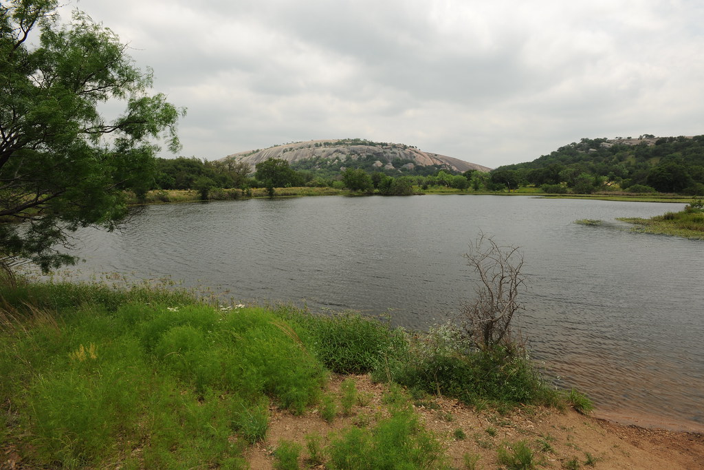 Moss Lake TrailHiking · ~1 min drivePhoto: euthman — CC BY 2.0 (via Flickr)
 Lower Angler's TrailHiking · ~53 min drivePhoto: Larry D. Moore, CC BY 4.0 (via Wikimedia Commons)
 Twin Falls Nature TrailHiking · ~1h 3m drivePhoto: Matt Lavin, CC BY-SA 2.0 (via Wikimedia Commons)Coyote CrossingHiking · ~1h 3m drivePhoto: Matt Lavin, CC BY-SA 2.0 (via Wikimedia Commons)
 Trammell Crossing TrailHiking · ~1h 3m drivePhoto: Matt Lavin from Bozeman, Montana, USA, CC BY-SA 2.0 (via Wikimedia Commons)
 Caswell Nature TrailHiking · ~1h 3m drivePhoto: runarut, CC BY 2.0 (via Wikimedia Commons)Cypress Mill Spur TrailHiking · ~1h 4m drivePhoto: Matt Lavin, CC BY-SA 2.0 (via Wikimedia Commons)Wolf Mountain LoopHiking · ~1h 4m drivePhoto: Matt Lavin from Bozeman, Montana, USA, CC BY-SA 2.0 (via Wikimedia Commons)
Also worth it near here
Sci-Fi wallRock climbing · Next doorPhoto: Chasqui (Luis Tamayo), CC BY-SA 2.0 (via Flickr) Enchanted RockSummit · Next doorPhoto: Shane Torgerson, Public domain (via Wikimedia Commons)
 Llano RiverCanoeing · ~35 min drivePhoto: Billy Hathorn, CC BY-SA 3.0 (via Wikimedia Commons)
Best months: October–May. Best months have typical highs of 55–85 °F, lows of 30 °F or warmer (32 °F where the station doesn't record snow), at most one snowy day and no more than 12 wet days.
Jan
60° / 34°
7 wet
Feb
64° / 38°
7 wet
Mar
71° / 46°
8 wet
Apr
78° / 53°
7 wet
May
84° / 63°
8 wet
Jun
90° / 69°
6 wet
Jul
93° / 71°
5 wet
Aug
94° / 70°
5 wet
Sep
88° / 64°
6 wet
Oct
79° / 54°
7 wet
Nov
68° / 44°
7 wet
Dec
61° / 36°
7 wet
Typical high / low (°F) and days with rain or snow, 1991–2020. Measured at Fredericksburg, TX, 18.8 mi away at 1,685 ft. This station doesn't record snowfall. Source: NOAA NCEI U.S. Climate Normals 1991–2020.
About 0.8 mi round trip.
About 872 ft of climbing round trip.
It is rated moderate.
About 0.5 hours round trip.
