Hickory Creek
- 14.2 mi
- distance
- 1,545 ft
- high point
- Oct–Apr
- best months
Hickory Creek is a 14-mile paddling stretch near Llano, Texas, about 2.8 miles from the town of Prairie Mountain. It is an intermittent waterway, and it may run dry in some seasons. USGS models an average flow of about 34 cubic feet per second and a gradient of about 24.5 feet per mile. Spring and fall are the most comfortable times to paddle. Typical averages from a nearby weather station in Mason show April highs around 80°F and October highs around 81°F, while July and August average about 96°F. Several other outdoor spots lie within about 8 miles. Walnut Springs Trail and Moss Lake Trail are both hikes, and Lizardhead Boulders is a climbing area. Echo Canyon Trail is another hike in the same general area.
- Walnut Springs TrailHiking7.5 mi
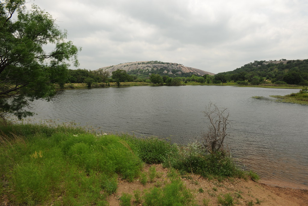 Moss Lake TrailHikingPhoto: euthman — CC BY 2.0 (via Flickr)7.6 mi
 Lizardhead BouldersRock climbingPhoto: David Leo Veksler, CC BY-SA 2.0 (via Flickr)7.8 mi
 The FrogRock climbingPhoto: Thank You (25 Millions ) views, CC BY 2.0 (via Flickr)7.8 mi
 The ShieldRock climbingPhoto: Sidney Paige, Public domain (via Wikimedia Commons)7.8 mi
- Devil's SlideRock climbingPhoto: Thank You (25 Millions ) views, CC BY 2.0 (via Flickr)7.8 mi
- Echo Canyon TrailHiking7.9 mi
- Base TrailHiking7.9 mi
Source: Roamze catalog (indexable pages within 10 miles, PostGIS distance)
 Llano RiverCanoeing · ~21 min drivePhoto: Billy Hathorn, CC BY-SA 3.0 (via Wikimedia Commons)
- Inks Lake State Park Boat RampBoat launch · ~59 min drive
 Pedernales RiverCanoeing · ~46 min drivePhoto: AndreasSchwarz at German Wikipedia, CC BY-SA 3.0 (via Wikimedia Commons)
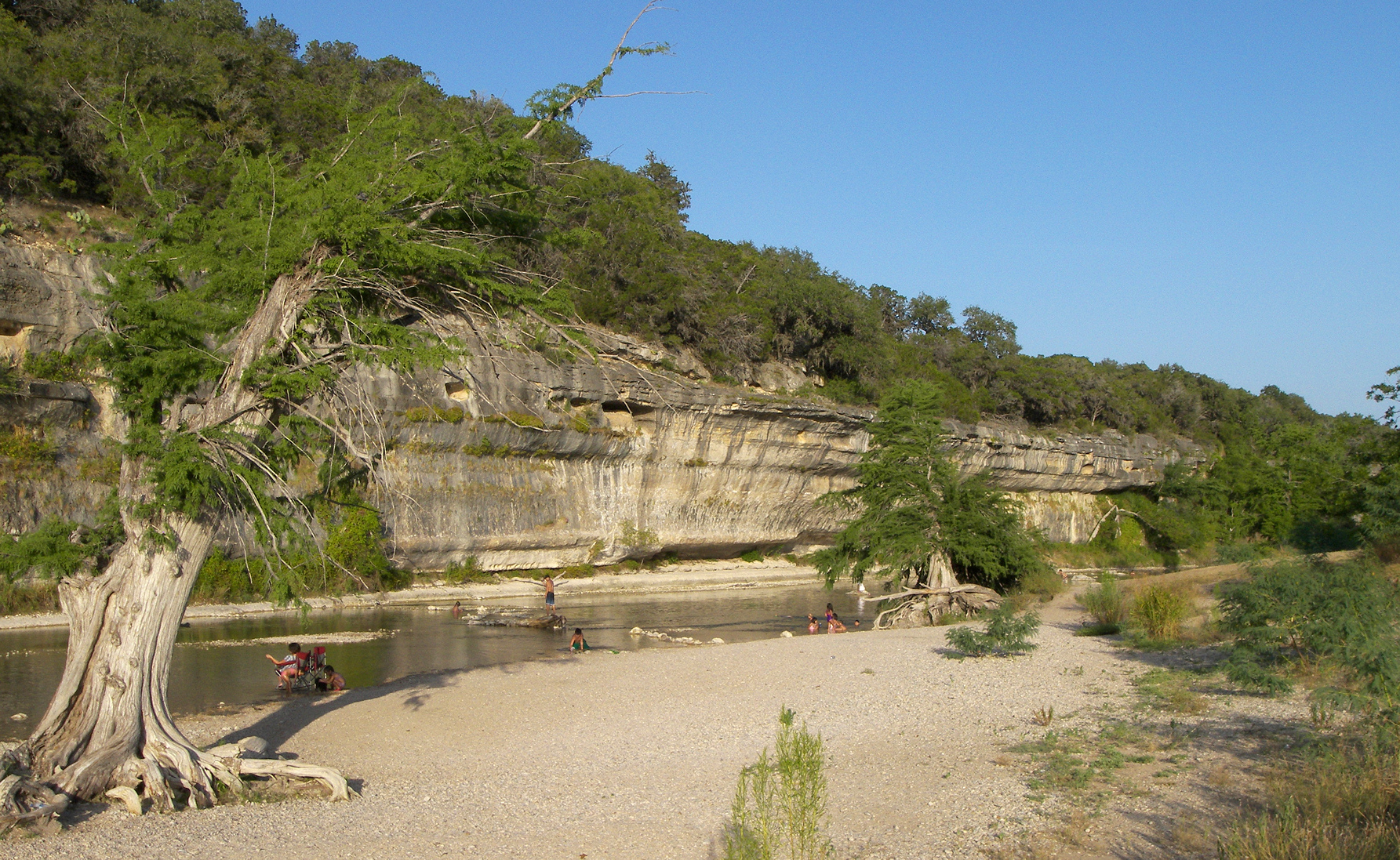 Guadalupe RiverCanoeing · ~1h 12m drivePhoto: Larry D. Moore, CC BY 4.0 (via Wikimedia Commons)
 Johnson ForkCanoeing · ~1h 21m drivePhoto: JERRYE & ROY KLOTZ M.D., CC BY-SA 4.0 (via Wikimedia Commons)
- Beaver CreekCanoeing · ~19 min drive
- Sandy CreekCanoeing · ~23 min drive
- James RiverCanoeing · ~51 min drive
- Little Devils RiverCanoeing · ~55 min drive
- Cherokee CreekCanoeing · ~56 min drive
Also worth it near here
- Walnut Springs Primitive Camping AreaCamping · ~13 min drive
- Moss Lake TrailHiking · ~13 min drivePhoto: euthman — CC BY 2.0 (via Flickr)
- Lizardhead BouldersRock climbing · ~13 min drivePhoto: David Leo Veksler, CC BY-SA 2.0 (via Flickr)
 Enchanted RockSummit · ~14 min drivePhoto: Shane Torgerson, Public domain (via Wikimedia Commons)
Best time to visit Hickory Creek
Best months: October–April. Best months have typical highs of 55–85 °F, lows of 30 °F or warmer (32 °F where the station doesn't record snow), at most one snowy day and no more than 12 wet days.
Jan
61° / 34°
5 wet
Feb
65° / 38°
5 wet
Mar
71° / 45°
6 wet
Apr
80° / 52°
6 wet
May
86° / 62°
7 wet
Jun
92° / 68°
6 wet
Jul
96° / 71°
5 wet
Aug
96° / 70°
5 wet
Sep
90° / 64°
5 wet
Oct
81° / 53°
6 wet
Nov
70° / 43°
5 wet
Dec
63° / 36°
5 wet
Typical high / low (°F) and days with rain or snow, 1991–2020. Measured at Mason, TX, 21.9 mi away at 1,531 ft. This station doesn't record snowfall. Source: NOAA NCEI U.S. Climate Normals 1991–2020.
