Robbers Roost
- Oct–Apr
- best months
Is Robbers Roost open right now?
No closures listed
The National Park Service lists no closures for Big Bend National Park.
As of · Source: NPS · Big Bend National Park. Agencies don't list every closure — check before you go.
- At 3,379 ft
- Big Bend National Park
Robbers Roost is a campground in Texas at about 3,379 feet. It is managed by the National Park Service.
- Pine CanyonHiking4.4 mi
- Southeast Rim KeyholeNatural arch4.9 mi
- South RimHiking5.7 mi
 Lost Mine PeakSummitPhoto: Yinan Chen, Public Domain (via Wikimedia Commons)5.7 mi
 Casa Grande PeakSummitPhoto: Fredlyfish4, CC BY-SA 3.0 (via Wikimedia Commons)6.4 mi
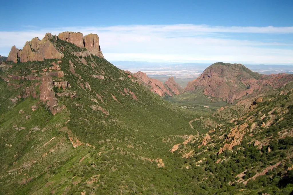 Chisos Basin Group Campground (Big Bend, TX)CampingPhoto: Recreation.gov (RIDB) / public domain7.5 mi
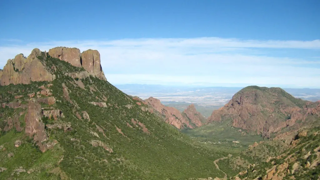 Chisos Basin Campground (Big Bend, TX)CampingPhoto: Recreation.gov (RIDB) / public domain7.5 mi
- Cattail FallsWaterfall9 mi
Source: Roamze catalog (indexable pages within 10 miles, PostGIS distance)
- Twisted ShoeCamping · ~3 min drive
- Rice TankCamping · ~5 min drive
- Pine Canyon 3Camping · ~5 min drive
- ChilicotalCamping · ~5 min drive
- Pine Canyon 4Camping · ~6 min drive
- Pine Canyon 2Camping · ~6 min drive
- Glenn SpringsCamping · ~6 min drive
- Pine Canyon 1Camping · ~6 min drive
- Nugent MountainCamping · ~8 min drive
- East Rim 4Camping · ~9 min drive
Best time to visit Robbers Roost
Best months: October–April. Best months have typical highs of 55–85 °F, lows of 30 °F or warmer (32 °F where the station doesn't record snow), at most one snowy day and no more than 12 wet days.
Jan
63° / 36°
2 wet
Feb
69° / 39°
2 wet
Mar
77° / 46°
2 wet
Apr
85° / 53°
2 wet
May
92° / 62°
5 wet
Jun
96° / 68°
6 wet
Jul
94° / 70°
6 wet
Aug
93° / 69°
6 wet
Sep
87° / 63°
5 wet
Oct
83° / 54°
3 wet
Nov
71° / 43°
3 wet
Dec
64° / 37°
3 wet
Typical high / low (°F) and days with rain or snow, 1991–2020. Measured at Panther Junction 2 N, TX, 9.8 mi away at 3,494 ft. This station doesn't record snowfall. Source: NOAA NCEI U.S. Climate Normals 1991–2020.
Facts about this campground
Map and trail data © OpenStreetMap contributors
