Look Rock
- 2,653 ft
- summit
- 1
- way up
- Sep–Nov
- best months
Is Look Rock open right now?
Closure in the area
There's a closure order in Great Smoky Mountains National Park. It doesn't name Look Rock, so check the source for the area it covers (4 listed).
Kuwohi Road Closed Due To Snow And Ice
Park closure covering Great Smoky Mountains National Park · NPS · Great Smoky Mountains National Park
Seasonal road closures
Park closure covering Great Smoky Mountains National Park · NPS · Great Smoky Mountains National Park
Straight Fork and the one-way section of Balsam Mountain Road closed.
Park closure covering Great Smoky Mountains National Park · NPS · Great Smoky Mountains National Park
Park Headquarters Road is closed
Park closure covering Great Smoky Mountains National Park · NPS · Great Smoky Mountains National Park
As of · Source: NPS · Great Smoky Mountains National Park. Agencies don't list every closure — check before you go.
Look Rock is a summit of 2,653 feet in Great Smoky Mountains National Park in Tennessee, about 8 miles from the town of Maryville. The peak sits right beside the Fire Tower Area climbing area and the Look Rock Trail, both about a tenth of a mile away, so it pairs easily with a day of hiking or climbing in the park. For comfortable weather, aim for late spring or early fall. Typical averages from a nearby weather station in Townsend show May highs around 74°F and September highs around 77°F, with October bringing the fewest wet days of the year. That station sits roughly 760 feet lower than the summit, so temperatures on top run cooler. Other nearby options include the Little Bottoms Trail about 1.4 miles away and Abram's Creek Campground at 1.6 miles. Abrams Falls Trail is about 3 miles off, and Hesse Creek offers canoeing about 5.6 miles away.
Conditions and forecast
Daily highs and lows, wind and the chance of precipitation at the summit and look rock developed trail trailhead for the next 7 days, from the Open-Meteo model.
- Summit elevation
- 2,653 ft
Elevation from USGS 3D Elevation Program terrain data (about 10 m resolution).
Map © Mapbox © OpenStreetMap contributors Questions about Look Rock
How tall is Look Rock?
2,653 ft (809 m).
How many routes go to the summit of Look Rock?
One: Look Rock Trail.
Where do the routes up Look Rock start?
Look Rock Trail starts at Look Rock Developed Trail Trailhead.
- Coon Butt2,315 ft · Tennessee1 route5.2 mi away
- Chestnut Top2,415 ft · Tennessee1 route11 mi away
- Shuckstack4,015 ft · North Carolina1 route12 mi away
- Spence Field4,951 ft · Tennessee1 route13 mi away
- Little Fodderstack3,722 ft · Tennessee1 route13 mi away
 Thunderhead Mountain5,524 ft · Tennessee1 route14 mi awayPhoto: Notneb82, CC BY-SA 3.0 (via Wikimedia Commons)
- Fire Tower AreaRock climbing0.1 mi
 Look Rock TrailHikingPhoto: Pete Seabolt, CC BY 3.0 (via Wikimedia Commons)0.1 mi
- Little Bottoms TrailHikingPhoto: Pete Seabolt, CC BY 3.0 (via Wikimedia Commons)1.4 mi
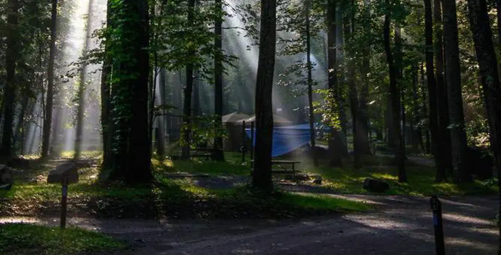 Abram's Creek CampgroundCampingPhoto: Recreation.gov (RIDB) / public domain1.6 mi
 Abrams Falls TrailHikingPhoto: Bas van Oorschot, CC BY-SA 3.0 (via Wikimedia Commons)3.1 mi
- Hesse CreekCanoeing5.6 mi
- Abrams CreekRiver fishing6.2 mi
- Punkin Center Motorcycle ResortCamping9.3 mi
Source: Roamze catalog (indexable pages within 10 miles, PostGIS distance)
- Thunderhead MountainSummit · ~24 min drivePhoto: Notneb82, CC BY-SA 3.0 (via Wikimedia Commons)
 Cove MountainSummit · ~33 min drivePhoto: Thomson200, CC0 (via Wikimedia Commons)
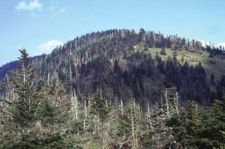 KuwohiSummit · ~44 min drivePhoto: C. Kenneth Dodd, Jr., Public domain (via Wikimedia Commons)
 Chimney TopsSummit · ~45 min drivePhoto: ChrisWx, CC BY-SA 4.0 (via Wikimedia Commons)
 Mount Le ConteSummit · ~49 min drivePhoto: No machine-readable author provided. Blinutne assumed (based on copyright claims)., CC BY-SA 3.0 (via Wikimedia Commons)
- Coon ButtSummit · ~9 min drive
- Chestnut TopSummit · ~19 min drive
- ShuckstackSummit · ~21 min drive
- Spence FieldSummit · ~22 min drive
- Little FodderstackSummit · ~23 min drive
Best time to visit Look Rock
Best months: September–November. Best months have typical highs of 55–85 °F, lows of 30 °F or warmer (32 °F where the station doesn't record snow), at most one snowy day and no more than 12 wet days.
Jan
47° / 26°
14 wet
Feb
51° / 29°
13 wet
Mar
59° / 34°
14 wet
Apr
69° / 43°
13 wet
May
74° / 51°
14 wet
Jun
79° / 59°
14 wet
Jul
81° / 63°
16 wet
Aug
81° / 61°
13 wet
Sep
77° / 56°
10 wet
Oct
68° / 44°
10 wet
Nov
59° / 34°
11 wet
Dec
50° / 29°
14 wet
Typical high / low (°F) and days with rain or snow, 1991–2020. Measured at Townsend 5s, TN, 9.5 mi away at 1,893 ft. The station sits about 800 ft lower than this place, so expect it a little cooler here. This station doesn't record snowfall. Source: NOAA NCEI U.S. Climate Normals 1991–2020.
