Kuwohi
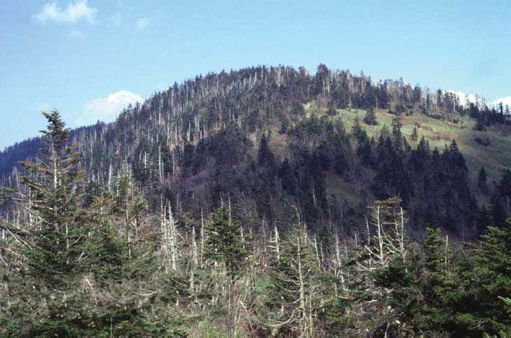 Photo: C. Kenneth Dodd, Jr., Public domain (via Wikimedia Commons)
- 6,644 ft
- summit
- 4
- ways up
- Sep
- best months
Is Kuwohi open right now?
Closure in the area
There's a closure order in Great Smoky Mountains National Park. It doesn't name Kuwohi, so check the source for the area it covers (5 listed).
Kuwohi Road Closed Due To Snow And Ice
Park closure covering Great Smoky Mountains National Park · NPS · Great Smoky Mountains National Park
Seasonal road closures
Park closure covering Great Smoky Mountains National Park · NPS · Great Smoky Mountains National Park
List of trail closures post-Hurricane Helene
Park closure covering Appalachian National Scenic Trail · NPS · Appalachian National Scenic Trail
Straight Fork and the one-way section of Balsam Mountain Road closed.
Park closure covering Great Smoky Mountains National Park · NPS · Great Smoky Mountains National Park
Park Headquarters Road is closed
Park closure covering Great Smoky Mountains National Park · NPS · Great Smoky Mountains National Park
As of · Source: NPS · Great Smoky Mountains National Park. Agencies don't list every closure — check before you go.
Kuwohi is a summit of 6,644 feet in North Carolina's Great Smoky Mountains National Park, within the Appalachian National Scenic Trail corridor. The nearest town is Bryson City, about 10 miles away. Summer is the most comfortable time to visit. Typical averages from the nearby Mt Leconte weather station, at a similar elevation, show July highs around 66°F with lows near 50°F, while winter highs stay in the low 30s. The Appalachian Trail passes within a tenth of a mile, and the Kuwohi Bypass Trail and Kuwohi Trail both start within half a mile. Forney Creek Trail is about a mile away.
Conditions and forecast
Daily highs and lows, wind and the chance of precipitation at the summit and kuwohi trail trailhead for the next 7 days, from the Open-Meteo model.
- Summit elevation
- 6,644 ft
Elevation from USGS 3D Elevation Program terrain data (about 10 m resolution).
- Kuwohi TrailEasyFrom Kuwohi Trail Trailhead · about 586 ft of climbing1.0 mi round trip
- Kuwohi Bypass TrailEasyabout 468 ft of climbing1.0 mi round trip
- Appalachian TrailModerateabout 2,280 ft of climbing6.9 mi round trip
- Appalachian TrailExpertabout 6,885 ft of climbing31.2 mi round trip
Compare the routes Kuwohi Trail Kuwohi Bypass Trail Appalachian Trail Appalachian Trail Starts at Kuwohi Trail Trailhead — — — Climbing About 586 ft About 468 ft About 2,280 ft About 6,885 ft Round trip 1.0 mi 1.0 mi 6.9 mi 31.2 mi Difficulty Easy Easy Moderate Expert Terrain Hike Hike Hike Hike Map © Mapbox © OpenStreetMap contributors Questions about Kuwohi
How tall is Kuwohi?
6,644 ft (2,025 m).
How many routes go to the summit of Kuwohi?
4: Kuwohi Trail, Kuwohi Bypass Trail, Appalachian Trail and Appalachian Trail.
What is the shortest route up Kuwohi?
Kuwohi Trail, about 1.0 mi round trip.
Where do the routes up Kuwohi start?
Kuwohi Trail starts at Kuwohi Trail Trailhead.
- Sugarland Mountain5,720 ft · Tennessee1 route2.9 mi away
- Silers Bald5,605 ft · Tennessee1 route3.8 mi away
- Turkey Flyup5,107 ft · North Carolina1 route6.5 mi away
- Nettle Creek Bald5,193 ft · North Carolina2 routes6.6 mi away
- Cliff Top6,553 ft · Tennessee3 routes7.0 mi away
 Mount Le Conte6,592 ft · Tennessee1 route7.2 mi awayPhoto: No machine-readable author provided. Blinutne assumed (based on copyright claims)., CC BY-SA 3.0 (via Wikimedia Commons)
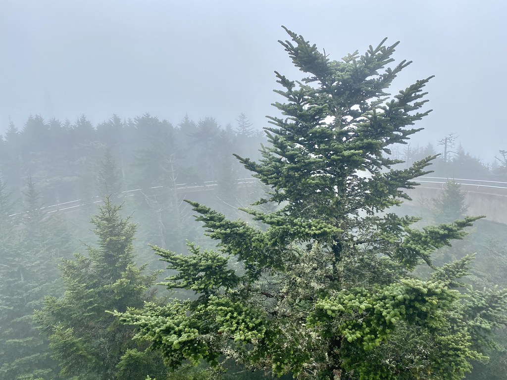 Appalachian TrailHikingPhoto: w_lemay, CC BY-SA 2.0 (via Flickr)0.1 mi
- Kuwohi Bypass TrailHiking0.3 mi
- Kuwohi TrailHiking0.4 mi
 Forney Creek TrailHikingPhoto: Bas van Oorschot, CC BY-SA 3.0 (via Wikimedia Commons)1.1 mi
- Spence CabinCamping7.7 mi
- Appalachian ClubhouseCamping7.8 mi
- Little RiverRiver fishing7.8 mi
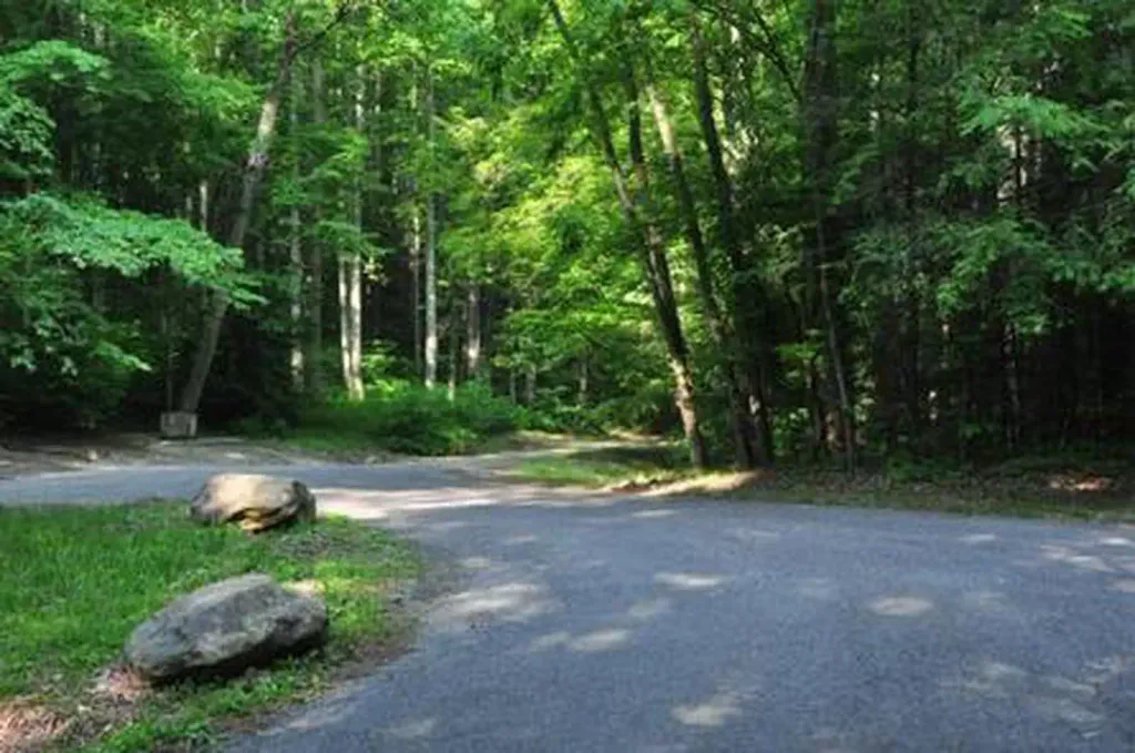 Elkmont Group CampCampingPhoto: Recreation.gov (RIDB) / public domain8.3 mi
Source: Roamze catalog (indexable pages within 10 miles, PostGIS distance)
 Chimney TopsSummit · ~8 min drivePhoto: ChrisWx, CC BY-SA 4.0 (via Wikimedia Commons)
- Mount Le ConteSummit · ~12 min drivePhoto: No machine-readable author provided. Blinutne assumed (based on copyright claims)., CC BY-SA 3.0 (via Wikimedia Commons)
 Cove MountainSummit · ~19 min drivePhoto: Thomson200, CC0 (via Wikimedia Commons)
 Thunderhead MountainSummit · ~20 min drivePhoto: Notneb82, CC BY-SA 3.0 (via Wikimedia Commons)
 Marks KnobSummit · ~28 min drivePhoto: Brian Stansberry, CC BY 3.0 (via Wikimedia Commons)
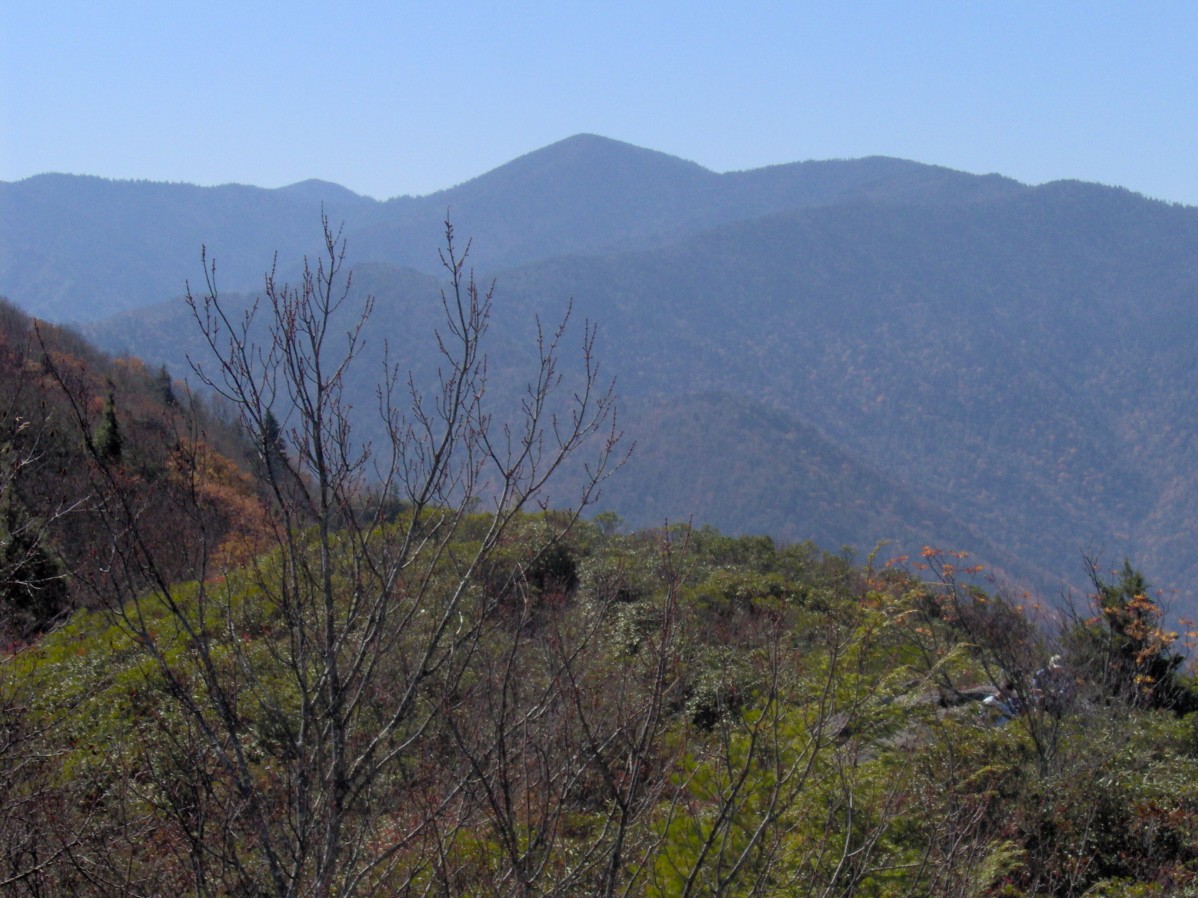 Mount GuyotSummit · ~29 min drivePhoto: Brian Stansberry, CC BY 2.5 (via Wikimedia Commons)
 Wesser BaldSummit · ~35 min drivePhoto: Chuck Williams, CC BY 3.0 (via Wikimedia Commons)
 Mount Lyn LowrySummit · ~39 min drivePhoto: Thomson200, CC0 (via Wikimedia Commons)
- Andrews BaldSummit · ~3 min drive
- Buckhorn BaldSummit · ~5 min drive
Best time to visit Kuwohi
Best months: September. Best months have typical highs of 55–85 °F, lows of 30 °F or warmer (32 °F where the station doesn't record snow), at most one snowy day and no more than 12 wet days.
Jan
33° / 17°
13 wet
Feb
35° / 20°
12 wet
Mar
41° / 24°
13 wet
Apr
50° / 32°
14 wet
May
56° / 40°
16 wet
Jun
63° / 47°
17 wet
Jul
66° / 50°
17 wet
Aug
65° / 49°
16 wet
Sep
61° / 44°
12 wet
Oct
53° / 36°
11 wet
Nov
44° / 27°
11 wet
Dec
37° / 21°
13 wet
Typical high / low (°F) and days with rain or snow, 1991–2020. Measured at Mt Leconte, TN, 7.1 mi away at 6,493 ft. This station doesn't record snowfall. Source: NOAA NCEI U.S. Climate Normals 1991–2020.

