Crooked Creek
- 8.1 mi
- distance
- 925 ft
- high point
- Mar–May, Sep–Nov
- best months
Clear at last check
Weather is good · OpenWeather · checked 22 h ago
Crooked Creek is a canoeing route in Tennessee, about 0.9 miles from the community of Seaton. The name alone gives a sense of the water's character, and the setting is close to town, which makes it an easy add-on to a day spent in the area. Late spring and early fall are the most comfortable times to paddle. Typical averages from a nearby weather station at Knoxville's airport show May highs around 79°F and October highs around 72°F, with September and October also seeing the fewest wet days of the year. Paddlers looking for more water can head to Pistol Creek, about 5.6 miles away, or Hesse Creek, about 6.2 miles off. For time on foot, the Townsend Trail and the Morganton Reserve Walking Trail both lie within about 8 miles.
Local outfitters
- Volunteer Landing Marina15 mi away
- Dillsboro River Company44 mi away
Not on Roamze yet. Their page has how to reach them.
- Pistol CreekCanoeing5.6 mi
- Hesse CreekCanoeing6.2 mi
- Townsend TrailHiking6.4 mi
- Morganton Reserve Walking TrailHiking7.8 mi
 Look Rock TrailHikingPhoto: Pete Seabolt, CC BY 3.0 (via Wikimedia Commons)8.3 mi
- Fire Tower AreaRock climbing8.3 mi
- Little Bottoms TrailHikingPhoto: Pete Seabolt, CC BY 3.0 (via Wikimedia Commons)8.8 mi
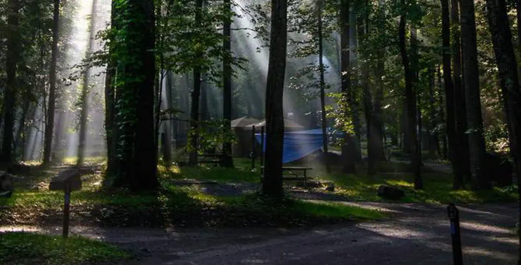 Abram's Creek CampgroundCampingPhoto: Recreation.gov (RIDB) / public domain9.5 mi
Source: Roamze catalog (indexable pages within 10 miles, PostGIS distance)
- Pistol CreekCanoeing · ~10 min drive
- Abandon Boat LaunchBoat launch · ~26 min drive
- Hesse CreekCanoeing · ~11 min drive
- Tabcat Creek Boat RampBoat launch · ~28 min drive
- Baker CreekCanoeing · ~21 min drive
- Cheoah River Takeout Boating SiteBoat launch · ~35 min drive
- Waldens CreekCanoeing · ~22 min drive
- Rymers Ferry Lake AccessBoat launch · ~35 min drive
- Ninemile CreekCanoeing · ~22 min drive
- Lewellyn Branch Lake AccessBoat launch · ~35 min drive
Best time to visit Crooked Creek
Best months: March–May and September–November. Best months have typical highs of 55–85 °F, lows of 30 °F or warmer (32 °F where the station doesn't record snow), at most one snowy day and no more than 12 wet days.
Jan
48° / 30°
12 wet
Feb
53° / 33°
11 wet
Mar
61° / 40°
12 wet
Apr
71° / 48°
11 wet
May
79° / 57°
11 wet
Jun
86° / 65°
12 wet
Jul
88° / 69°
11 wet
Aug
88° / 67°
10 wet
Sep
82° / 61°
8 wet
Oct
72° / 49°
8 wet
Nov
60° / 38°
10 wet
Dec
51° / 33°
12 wet
Typical high / low (°F) and days with rain or snow, 1991–2020. Measured at Knoxville Mcghee Tyson Ap, TN, 7.9 mi away at 962 ft. This station doesn't record snowfall. Source: NOAA NCEI U.S. Climate Normals 1991–2020.
