Connector #2 Boswell Landing
0.46-mile out-and-back trail in Tennessee with 53 ft gain.
- 0.5 mi
- round trip
- 163 ft
- climb
- 429 ft
- high point
- Out and back
- route
Best time to visit Connector #2 Boswell Landing
Best months: March–June and September–November. Best months have typical highs of 55–85 °F, lows of 30 °F or warmer (32 °F where the station doesn't record snow), at most one snowy day and no more than 12 wet days.
Jan
46° / 27°
9 wet · 1 snow
Feb
51° / 30°
8 wet · 1 snow
Mar
60° / 38°
9 wet
Apr
70° / 47°
10 wet
May
77° / 57°
10 wet
Jun
84° / 65°
8 wet
Jul
88° / 69°
7 wet
Aug
88° / 68°
7 wet
Sep
82° / 60°
7 wet
Oct
71° / 48°
7 wet
Nov
60° / 38°
8 wet
Dec
50° / 31°
9 wet
Typical high / low (°F) and days with rain or snow, 1991–2020. Measured at Dover 1 W, TN, 9.2 mi away at 475 ft. Source: NOAA NCEI U.S. Climate Normals 1991–2020.
Connector #2 Boswell Landing is a short, easy hike in Land Between the Lakes National Recreation Area in Tennessee, managed by the Forest Service. It sits about half a mile from Boswell Landing Campground, the closest neighbor, and makes a quick addition to a stay at the campground. The route is an out-and-back of about 0.9 miles, with a total climb of about 160 feet. The grade is steady, and the steepest stretch comes at about 0.4 miles in, with a 6% grade. The trail is short and low, so it works well as a warm-up or a break between longer outings. Spring and fall are the most comfortable times to go. Typical averages from a nearby weather station show October highs around 71°F with lows near 48°F, and April highs around 70°F. Summer highs typically reach the upper 80s. Pickett Loop is about half a mile away, and Telegraph Trail and Volunteer Trail are within a mile. Gatlin Point Campground is about 7 miles off.
Keep exploring — more trails worth the drive
 Photo: LandBetweentheLakesKYTN, Public Domain Mark (via Flickr)
Trail 6,7,8
~25 min drive
1.58-mile out-and-back trail in Kentucky with 610 ft elevation gain
Telegraph Trail
~1 min drive
2.53-mile out-and-back hike in Tennessee with 955 ft gain
North
~10 min drive
27.64-mile point-to-point trail in Tennessee with 2,613 ft elevation gain.
Frank James
~21 min drive
38.82-mile out-and-back trail in Kentucky with 1,554 ft elevation gain.
Photo: LandBetweentheLakesKYTN, Public Domain Mark (via Flickr)Roy Rogers
~25 min drive
1.95-mile loop trail in Kentucky with 169 ft elevation gain.
Piney Trail
~4 min drive
2.31-mile out-and-back trail in Tennessee with 816 ft gain.
South Bison Range
~19 min drive
9.8 mi · Hard
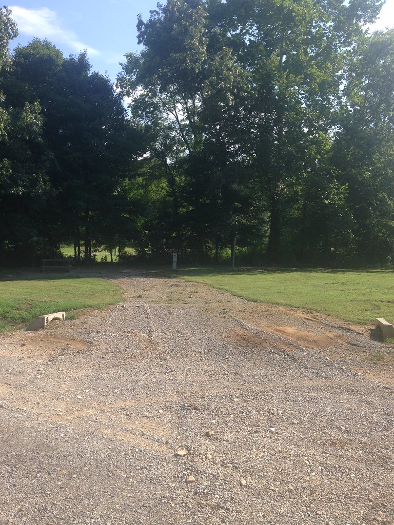 Photo: LandBetweentheLakesKYTN, Public Domain Mark (via Flickr)
Trail 7,8
~25 min drive
0.62-mile out-and-back hike in Kentucky with 56 ft of elevation gain
Artillery Trail
~4 min drive
3.59-mile out-and-back hike in Tennessee with 835 ft elevation gain
Wild Bill Hickock
~23 min drive
26-mile out-and-back trail in Kentucky with 587 ft elevation gain.

