Artillery Trail
- 3.6 mi
- round trip
- 1,115 ft
- climb
- 663 ft
- high point
- Out and back
- route
- Mar–Jun, Sep–Nov
- best months
Artillery Trail is a 7.2-mile out-and-back hike in Land Between the Lakes National Recreation Area in Tennessee, managed by the Forest Service. The route rises from a low point of 474 feet to a high of 663 feet, with a total elevation gain of 219 feet. The steepest stretch comes at about 1.5 miles in, where the grade reaches 22 percent. Spring and fall are the most comfortable times to go. Typical averages from a nearby weather station show October highs around 71°F with lows near 48°F, and April highs around 70°F. That station sits a few hundred feet lower than the trail's high point, so temperatures on the higher ground run a little cooler. Piney Trail and Devil's Backbone both start within a quarter mile, and Telegraph Trail is about 1.6 miles away. For an overnight stay, Boswell Landing Campground is about 2.7 miles off.
Best time to go · Mar–Jun, Sep–Nov
Best time to visit Artillery Trail
Best months: March–June and September–November. Best months have typical highs of 55–85 °F, lows of 30 °F or warmer (32 °F where the station doesn't record snow), at most one snowy day and no more than 12 wet days.
Jan
46° / 27°
9 wet · 1 snow
Feb
51° / 30°
8 wet · 1 snow
Mar
60° / 38°
9 wet
Apr
70° / 47°
10 wet
May
77° / 57°
10 wet
Jun
84° / 65°
8 wet
Jul
88° / 69°
7 wet
Aug
88° / 68°
7 wet
Sep
82° / 60°
7 wet
Oct
71° / 48°
7 wet
Nov
60° / 38°
8 wet
Dec
50° / 31°
9 wet
Typical high / low (°F) and days with rain or snow, 1991–2020. Measured at Dover 1 W, TN, 7.4 mi away at 475 ft. Source: NOAA NCEI U.S. Climate Normals 1991–2020.
Keep exploring — more trails worth the drive
 Photo: LandBetweentheLakesKYTN, Public Domain Mark (via Flickr)
Trail 6,7,8
~28 min drive
1.58-mile out-and-back trail in Kentucky with 610 ft elevation gain
HIKE
Telegraph Trail
~4 min drive
2.53-mile out-and-back hike in Tennessee with 955 ft gain
HIKE
North
~8 min drive
27.64-mile point-to-point trail in Tennessee with 2,613 ft elevation gain.
HIKE
Frank James
~25 min drive
38.82-mile out-and-back trail in Kentucky with 1,554 ft elevation gain.
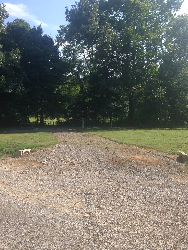 Photo: LandBetweentheLakesKYTN, Public Domain Mark (via Flickr)
Trail 7,8
~29 min drive
0.62-mile out-and-back hike in Kentucky with 56 ft of elevation gain
HIKE
Telegraph Trail
~8 min drive
6.3-mile out-and-back hike in Tennessee with 1,416 ft elevation gain/loss
HIKE
South Bison Range
~22 min drive
9.8 mi · Hard
Photo: LandBetweentheLakesKYTN, Public Domain Mark (via Flickr)Trail 1,6
~29 min drive
1.52-mile out-and-back trail in Kentucky with 257 ft elevation gain.
HIKE
B.S. Blue Trail
~12 min drive
5.28-mile out-and-back hike in Tennessee with 1,147 ft elevation gain.
HIKE
Wild Bill Hickock
~27 min drive
26-mile out-and-back trail in Kentucky with 587 ft elevation gain.

Map and trail data © OpenStreetMap contributors
