North
- 27.6 mi
- one way
- 1,839 ft
- climb
- 654 ft
- high point
- Point to point
- route
- Mar–Jun, Sep–Nov
- best months
North is a hard hike of about 27.6 miles with an elevation gain of 1,839 feet, set within Land Between the Lakes National Recreation Area in Tennessee. The route rises from a low of about 390 feet to a high of about 654 feet, and it is a point-to-point trail that starts at the South Trailhead. The climb is a long one, and the trail is rated hard. Bikes are allowed, but horses are not. Spring and fall are the most comfortable times to go. Typical averages from the nearby Dover weather station show October highs around 71°F with lows near 48°F, and April highs around 70°F with lows near 47°F. The Telegraph Trail starts just 0.1 mile away, and the Connector #4 N/S Trail and B.S. Yellow Trail are both within about 2.5 miles. For an overnight stay, Brandon Spring Group Camp and Gatlin Point Campground are each about 2.6 miles away.
Best time to go · Mar–Jun, Sep–Nov
Best time to visit North
Best months: March–June and September–November. Best months have typical highs of 55–85 °F, lows of 30 °F or warmer (32 °F where the station doesn't record snow), at most one snowy day and no more than 12 wet days.
Jan
46° / 27°
9 wet · 1 snow
Feb
51° / 30°
8 wet · 1 snow
Mar
60° / 38°
9 wet
Apr
70° / 47°
10 wet
May
77° / 57°
10 wet
Jun
84° / 65°
8 wet
Jul
88° / 69°
7 wet
Aug
88° / 68°
7 wet
Sep
82° / 60°
7 wet
Oct
71° / 48°
7 wet
Nov
60° / 38°
8 wet
Dec
50° / 31°
9 wet
Typical high / low (°F) and days with rain or snow, 1991–2020. Measured at Dover 1 W, TN, 4.2 mi away at 475 ft. Source: NOAA NCEI U.S. Climate Normals 1991–2020.
Keep exploring — more trails worth the drive
 Photo: LandBetweentheLakesKYTN, Public Domain Mark (via Flickr)
Trail 6,7,8
~25 min drive
1.58-mile out-and-back trail in Kentucky with 610 ft elevation gain
HIKE
Telegraph Trail
Next door
6.3-mile out-and-back hike in Tennessee with 1,416 ft elevation gain/loss
HIKE
South Bison Range
~19 min drive
9.8 mi · Hard
HIKE
Frank James
~23 min drive
38.82-mile out-and-back trail in Kentucky with 1,554 ft elevation gain.
Photo: LandBetweentheLakesKYTN, Public Domain Mark (via Flickr)Trail 1,6
~26 min drive
1.52-mile out-and-back trail in Kentucky with 257 ft elevation gain.
HIKE
B.S. Blue Trail
~5 min drive
5.28-mile out-and-back hike in Tennessee with 1,147 ft elevation gain.
HIKE
Wild Bill Hickock
~24 min drive
26-mile out-and-back trail in Kentucky with 587 ft elevation gain.
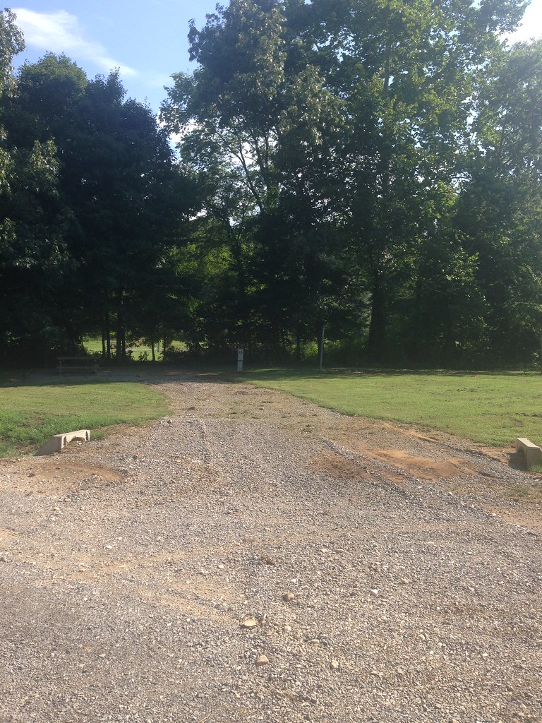 Photo: LandBetweentheLakesKYTN, Public Domain Mark (via Flickr)
Trail 7,8
~27 min drive
0.62-mile out-and-back hike in Kentucky with 56 ft of elevation gain
HIKE
Artillery Trail
~8 min drive
3.59-mile out-and-back hike in Tennessee with 835 ft elevation gain
Photo: LandBetweentheLakesKYTN, Public Domain Mark (via Flickr)Roy Rogers
~25 min drive
1.95-mile loop trail in Kentucky with 169 ft elevation gain.
Route details
- Distance
- 27.6 mi
- Climbing
- About 1,839 ft
- Starts at
- South Trailhead (about 390 ft)
- Summit
- 619 ft
- Difficulty
- Hard
- Time
- About 11 hours
Questions about this route
How long is the North on Round Top?
About 27.6 mi from South Trailhead (about 390 ft).
How much elevation gain is on the North?
About 1,839 ft of climbing round trip.
How hard is the North?
It is rated hard.
Where does the North start?
South Trailhead (about 390 ft).
How long does the North take?
About 11 hours round trip.
Conditions and forecast on Round Top
Daily highs and lows, wind and the chance of precipitation at the summit and route start for the next 7 days, from the Open-Meteo model.
Map and trail data © OpenStreetMap contributors
