CH Sunken Trace Trail
- 0.3 mi
- round trip
- 20 ft
- climb
- 1,017 ft
- high point
- Out and back
- route
- Mar–Jun, Sep–Nov
- best months
Is CH Sunken Trace Trail open right now?
Closure in the area
There's a closure order in Natchez Trace Parkway. It doesn't name CH Sunken Trace Trail, so check the source for the area it covers.
Current Park Closures
Park closure covering Natchez Trace Parkway · NPS · Natchez Trace Parkway
As of · Source: NPS · Natchez Trace Parkway. Agencies don't list every closure — check before you go.
CH Sunken Trace Trail is a short, easy hike on the Natchez Trace Parkway in Tennessee, managed by the National Park Service. The trail is about 0.3 miles long and is an out-and-back route, with a total round-trip distance of about 0.6 miles. The climb is nearly flat, with a high point of about 1,017 feet and a low of about 995 feet, and the steepest section is a 2% grade at about 0.16 miles in. There is no fee to hike this trail. Spring and fall are the most comfortable times to go. Typical averages from a nearby weather station in Waynesboro, Tennessee, show October highs around 73°F with lows near 45°F, and April highs around 72°F. Paddlers will find several canoeing options close by. Indian Creek is about 5 miles away, Waterfall Creek is about 6 miles away, and Cypress Creek and Middle Cypress Creek, both in Alabama, are each within about 9 miles.
- Indian CreekCanoeing4.9 mi
- Waterfall CreekCanoeing6.4 mi
- Cypress CreekCanoeing8.3 mi
- Middle Cypress CreekCanoeing8.9 mi
Source: Roamze catalog (indexable pages within 10 miles, PostGIS distance)
 CH Rock Springs TrailHiking · ~34 min drivePhoto: Mike Tilley, CC BY 3.0 (via Wikimedia Commons)
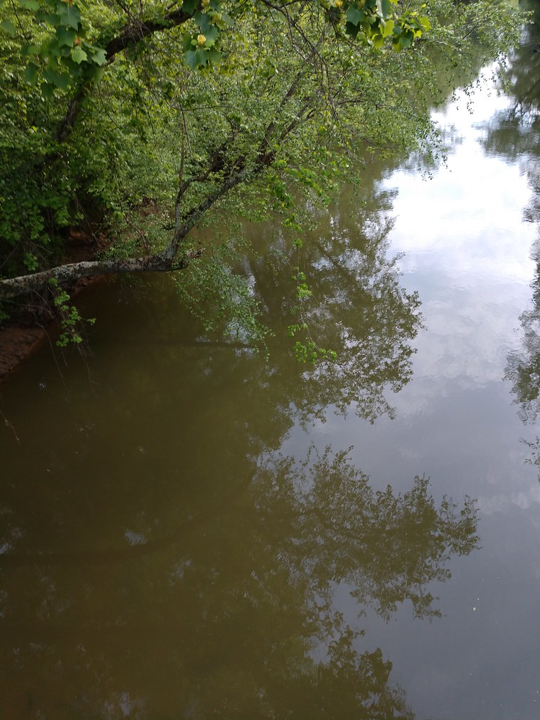 Ccc Camp TrailHiking · ~1h 13m drivePhoto: MichaelGras, CC BY 2.0 (via Flickr)
 Saddle Back Ridge TrailHiking · ~1h 13m drivePhoto: MichaelGras, CC BY 2.0 (via Flickr)
- Jones Branch Loop TrailHiking · ~29 min drive
- Outcroppings TrailHiking · ~1h 13m drivePhoto: MichaelGras, CC BY 2.0 (via Flickr)
- Rockpile TrailHiking · ~41 min drive
- Natchez Trace TrailHiking · ~1h 13m drivePhoto: MichaelGras, CC BY 2.0 (via Flickr)
- Crawfish Valley TrailHiking · ~43 min drive
- Bear Creek TrailHiking · ~1h 13m drivePhoto: MichaelGras, CC BY 2.0 (via Flickr)
- Crawfish Valley TrailHiking · ~43 min drive
Best time to visit CH Sunken Trace Trail
Best months: March–June and September–November. Best months have typical highs of 55–85 °F, lows of 30 °F or warmer (32 °F where the station doesn't record snow), at most one snowy day and no more than 12 wet days.
Jan
49° / 27°
11 wet
Feb
53° / 29°
10 wet
Mar
62° / 36°
11 wet
Apr
72° / 43°
11 wet
May
79° / 53°
11 wet
Jun
85° / 62°
10 wet
Jul
88° / 66°
10 wet
Aug
88° / 64°
9 wet
Sep
83° / 57°
8 wet
Oct
73° / 45°
8 wet
Nov
61° / 34°
9 wet
Dec
52° / 29°
11 wet
Typical high / low (°F) and days with rain or snow, 1991–2020. Measured at Waynesboro, TN, 12.8 mi away at 750 ft. This station doesn't record snowfall. Source: NOAA NCEI U.S. Climate Normals 1991–2020.
