Jones Branch Loop Trail
- 2.5 mi
- round trip
- 547 ft
- climb
- 660 ft
- high point
- Out and back
- route
- Feb–May, Sep–Nov
- best months
Jones Branch Loop Trail is a 2.5-mile loop in Shoal Creek Preserve Tract in northern Alabama, managed by the State Department of Natural Resources. The trail rises from about 544 feet to about 660 feet, with the steepest stretch at roughly 1.1 miles in, where the grade reaches about 7 percent. The climb is moderate, and the trail is rated as such. Spring and fall are the most comfortable times to go. Typical averages from a nearby weather station in Muscle Shoals show April highs around 72°F and October highs around 74°F, while July and August average highs near 89°F. The Tennessee River—Wilson Lake and Pickwick Lake paddling route and the Rockpile Trail are both about 8.7 miles away. Middle Cypress Creek, another paddling option, is about 9.2 miles off.
Best time to go · Feb–May, Sep–Nov
Best time to visit Jones Branch Loop Trail
Best months: February–May and September–November. Best months have typical highs of 55–85 °F, lows of 30 °F or warmer (32 °F where the station doesn't record snow), at most one snowy day and no more than 12 wet days.
Jan
51° / 31°
Feb
55° / 35°
Mar
64° / 42°
Apr
72° / 49°
May
79° / 57°
Jun
87° / 65°
Jul
89° / 69°
Aug
89° / 68°
Sep
84° / 61°
Oct
74° / 49°
Nov
62° / 39°
Dec
54° / 35°
Typical high / low (°F) and days with rain or snow, 1991–2020. Measured at Muscle Shoals 2 N, AL, 9.4 mi away at 530 ft. This station doesn't record snowfall. Source: NOAA NCEI U.S. Climate Normals 1991–2020.
Keep exploring — more trails worth the drive
 Photo: Mike Tilley, CC BY 3.0 (via Wikimedia Commons)
CH Rock Springs Trail
~28 min drive
0.40-mile loop trail in Alabama with 178 ft gain.
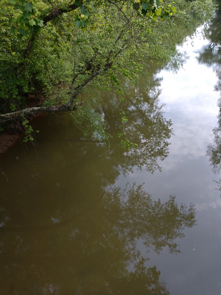 Photo: MichaelGras, CC BY 2.0 (via Flickr)
Ccc Camp Trail
~1h 5m drive
2.97-mile out-and-back trail in Mississippi with 628 ft gain
 Photo: dmtilley, CC BY 3.0 (via Wikimedia Commons)
Thompson Creek Wild Hiking
~1h 9m drive
6.63-mile out-and-back trail in Alabama with 1,075 ft elevation gain.
Photo: MichaelGras, CC BY 2.0 (via Flickr)Outcroppings Trail
~1h 5m drive
Easy 1.83-mile loop featuring Mississippi's distinctive rock outcroppings.
HIKE
Rockpile Trail
~15 min drive
Short Alabama trail featuring natural rock formations and easy terrain.
Photo: dmtilley, CC BY 3.0 (via Wikimedia Commons)Bunyan Hill Wild Hiking Trail
~1h 10m drive
4.81-mile out-and-back trail in Alabama with 191 ft gain.
 Photo: MichaelGras, CC BY 2.0 (via Flickr)
Saddle Back Ridge Trail
~1h 6m drive
0.67-mile out-and-back hike on a ridge in Mississippi.
HIKE
Shoal Creek Trail
~49 min drive
2.6-mile out-and-back trail in Tennessee with 1,359 ft elevation gain.
 Photo: Toby Gray, Public Domain Dedication (CC0) (via Flickr)
Pine Torch Horse Loop
~1h 12m drive
21.42-mile out-and-back trail in Alabama with 818 ft elevation gain.
Photo: MichaelGras, CC BY 2.0 (via Flickr)Natchez Trace Trail
~1h 6m drive
0.62-mile out-and-back hike on the historic Natchez Trace in Mississippi.
Map and trail data © OpenStreetMap contributors
