Saddle Back Ridge Trail
 Photo: MichaelGras, CC BY 2.0 (via Flickr)
- 0.7 mi
- round trip
- 373 ft
- climb
- 586 ft
- high point
- Out and back
- route
- Mar–May, Sep–Nov
- best months
Saddle Back Ridge Trail is a short, easy hike in Tishomingo State Park in Mississippi, managed by State Park and Recreation. The trail is about 0.67 miles long and rises about 84 feet from a starting point near 568 feet to a high of 586 feet. The route is out and back, and the steepest stretch comes about 0.38 miles in, with a 10% grade. Spring and fall are the most comfortable times to go. Typical averages from a nearby weather station in Iuka show October highs around 73°F with lows near 46°F, and April highs around 72°F. Summer highs typically reach the upper 80s. The trail sits close to several other routes. Natchez Trace Trail and Bear Creek Trail are each about 0.6 miles away, and Outcroppings Trail is about a mile off. Bear Creek, a fishing spot, is about 1.4 miles away.
- Natchez Trace TrailHikingPhoto: MichaelGras, CC BY 2.0 (via Flickr)0.6 mi
- Bear Creek TrailHikingPhoto: MichaelGras, CC BY 2.0 (via Flickr)0.6 mi
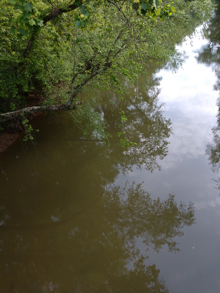 Outcroppings TrailHikingPhoto: MichaelGras, CC BY 2.0 (via Flickr)1 mi
- Ccc Camp TrailHikingPhoto: MichaelGras, CC BY 2.0 (via Flickr)1 mi
- Ccc Camp Upper TrailHiking1.4 mi
- Bear CreekRiver fishing1.4 mi
- Cripple Deer CreekCanoeing6 mi
- Little Cripple Deer CreekCanoeing8.3 mi
Source: Roamze catalog (indexable pages within 10 miles, PostGIS distance)
- Natchez Trace TrailHiking · Next doorPhoto: MichaelGras, CC BY 2.0 (via Flickr)
- Ccc Camp TrailHiking · ~2 min drivePhoto: MichaelGras, CC BY 2.0 (via Flickr)
 Bunyan Hill Wild Hiking TrailHiking · ~1h 21m drivePhoto: dmtilley, CC BY 3.0 (via Wikimedia Commons)
- Bear Creek TrailHiking · ~1 min drivePhoto: MichaelGras, CC BY 2.0 (via Flickr)
- Rockpile TrailHiking · ~56 min drive
- Thompson Creek Wild HikingHiking · ~1h 18m drivePhoto: dmtilley, CC BY 3.0 (via Wikimedia Commons)
- Outcroppings TrailHiking · ~2 min drivePhoto: MichaelGras, CC BY 2.0 (via Flickr)
- Jones Branch Loop TrailHiking · ~1h 6m drive
- Northwest Wild HorseHiking · ~1h 18m drive
 CH Rock Springs TrailHiking · ~40 min drivePhoto: Mike Tilley, CC BY 3.0 (via Wikimedia Commons)
Best time to visit Saddle Back Ridge Trail
Best months: March–May and September–November. Best months have typical highs of 55–85 °F, lows of 30 °F or warmer (32 °F where the station doesn't record snow), at most one snowy day and no more than 12 wet days.
Jan
49° / 28°
11 wet
Feb
54° / 31°
10 wet
Mar
63° / 37°
10 wet
Apr
72° / 46°
9 wet
May
79° / 55°
9 wet
Jun
86° / 63°
9 wet
Jul
88° / 67°
10 wet
Aug
88° / 66°
9 wet
Sep
84° / 59°
6 wet
Oct
73° / 46°
7 wet
Nov
62° / 36°
9 wet
Dec
52° / 31°
11 wet
Typical high / low (°F) and days with rain or snow, 1991–2020. Measured at Iuka, MS, 10.3 mi away at 600 ft. This station doesn't record snowfall. Source: NOAA NCEI U.S. Climate Normals 1991–2020.

Map and trail data © OpenStreetMap contributors
