George Washington State Campground
Campground
Campground · 1.2 mi from the trail
Ross Trail is a short, easy out-and-back hike in Rhode Island, about 2.3 miles from the town of Clarkville. The route is roughly 2.4 miles long, with a total elevation gain of 252 feet, and it is rated easy. The trail starts at about 714 feet and reaches a high point of 733 feet before returning to the starting elevation. The steepest stretch comes early on, around 0.19 miles in, with a grade of about 8 percent. The climb is back-loaded, so the most elevation is gained in the second half of the route. Summer and early fall are the most comfortable times to go. Typical averages from a nearby weather station show July highs around 80°F and September highs near 72°F, with lows in the 50s and 60s. Winters are cold, with January highs around 35°F and several snowy days each month from December through February. The trip takes about an hour. The George Washington Orange Trail is less than a mile away, and the Richardson Trail is about a mile off. The Inner Border Trail is roughly 2.3 miles away, and the Durfee Hill climbing area is about 3.4 miles away.
George Washington State Campground
Campground
History museum in Rhode Island, United States
Places © OpenStreetMap contributors, Places © Overture Maps Foundation
More in Danielson Fivemile RiverCanoeingPhoto: Pi.1415926535, CC BY-SA 4.0 (via Wikimedia Commons)4.7 mi
Source: Roamze catalog (indexable pages within 10 miles, PostGIS distance)
 Grand Trunk TrailHiking · ~12 min drivePhoto: ian02054, CC BY 2.0 (via Flickr)
 Quinebaug River TrailHiking · ~14 min drivePhoto: Magicpiano, CC BY-SA 3.0 (via Wikimedia Commons)
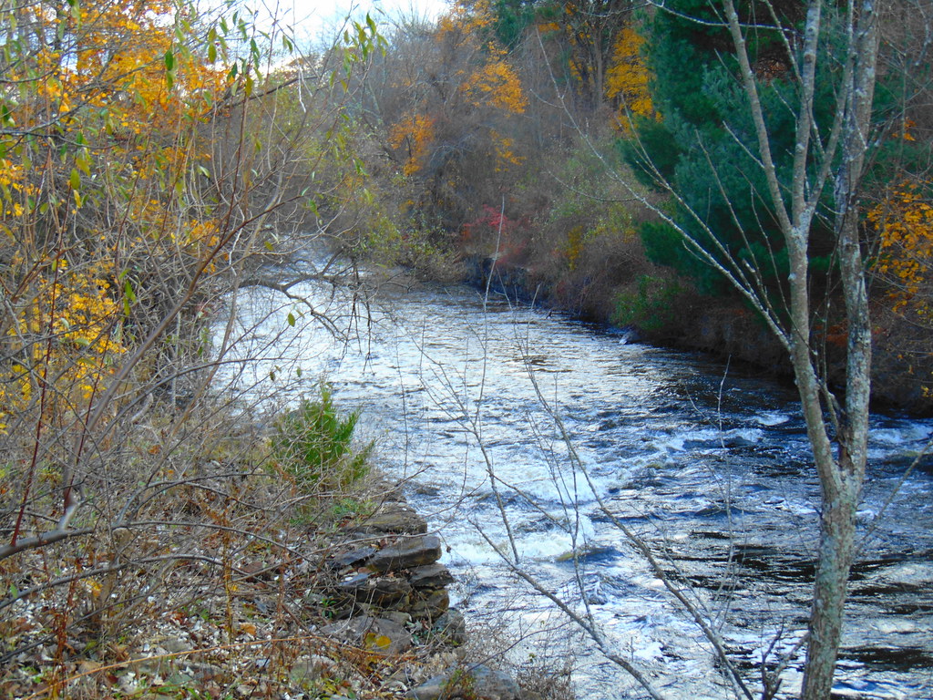 Woodland Walk TrailHiking · ~13 min drivePhoto: jjbers, CC BY 2.0 (via Flickr)
 Lost TrailHiking · ~13 min drivePhoto: Magicpiano, CC BY-SA 3.0 (via Wikimedia Commons)Shoreline TrailHiking · ~14 min drivePhoto: Magicpiano, CC BY-SA 3.0 (via Wikimedia Commons)Ravenelle Ponds LoopHiking · ~15 min drivePhoto: jjbers, CC BY 2.0 (via Flickr)Loop TrailHiking · ~16 min drivePhoto: Magicpiano, CC BY-SA 3.0 (via Wikimedia Commons)
Best months: April and June–October. Best months have typical highs of 55–85 °F, lows of 30 °F or warmer (32 °F where the station doesn't record snow), at most one snowy day and no more than 12 wet days.
Jan
35° / 18°
12 wet · 7 snow
Feb
38° / 20°
11 wet · 7 snow
Mar
46° / 27°
12 wet · 5 snow
Apr
58° / 37°
12 wet · 1 snow
May
68° / 47°
13 wet
Jun
76° / 56°
12 wet
Jul
80° / 61°
11 wet
Aug
79° / 60°
10 wet
Sep
72° / 53°
10 wet
Oct
61° / 42°
12 wet
Nov
50° / 33°
11 wet · 2 snow
Dec
40° / 24°
12 wet · 5 snow
Typical high / low (°F) and days with rain or snow, 1991–2020. Measured at N Foster 1 E, RI, 5.8 mi away at 630 ft. Source: NOAA NCEI U.S. Climate Normals 1991–2020.
Map and trail data © OpenStreetMap contributors
