Old Loggers Path
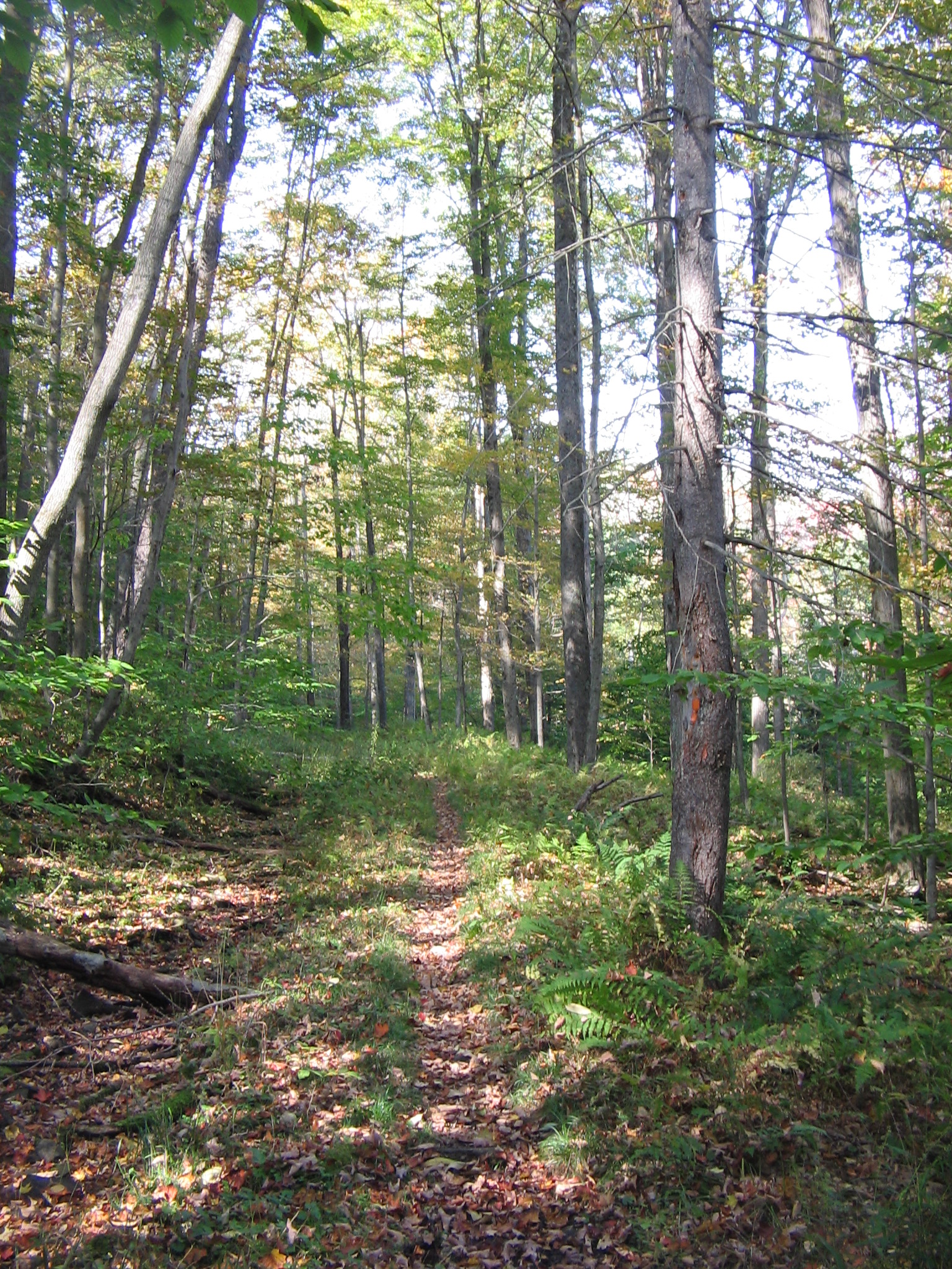 Photo: User:Ruhrfisch, CC BY-SA 3.0 (via Wikimedia Commons)
- 5.4 mi
- round trip
- 2,127 ft
- climb
- 2,131 ft
- high point
- Out and back
- route
- Jul–Oct
- best months
Old Loggers Path is a cross-country ski route in Loyalsock State Forest in Pennsylvania, managed by the State Department of Natural Resources. The out-and-back trip runs about 10.7 miles with a total climb of roughly 2,127 feet, so the round trip gains about 840 feet. The route begins near 2,000 feet and reaches a high point of about 2,130 feet. The steepest section comes at around 2.9 miles in, with a grade of about 20 percent. Winter is the natural season for this ski trail. Typical averages from a nearby weather station in Canton put January highs around 33°F with lows near 15°F, and the station sits well below the route, so temperatures on the higher ground run cooler. Yellow Dog Road starts just 0.1 mile away, and Cherry Ridge Trail is about 0.8 mile off. For hiking, the Sharp-Shinned Trail and Hawkeye Cross County Ski Trail are both within about a mile and a half.
Local outfitters
- Wild Asaph Outfitters27 mi away
Not on Roamze yet. Their page has how to reach them.
Best time to go · Jul–Oct
Best time to visit Old Loggers Path
Best months: July–October. Best months have typical highs of 55–85 °F, lows of 30 °F or warmer (32 °F where the station doesn't record snow), at most one snowy day and no more than 12 wet days.
Jan
33° / 15°
13 wet
Feb
36° / 16°
11 wet
Mar
44° / 23°
12 wet
Apr
58° / 33°
13 wet
May
69° / 43°
14 wet
Jun
76° / 53°
13 wet
Jul
81° / 57°
12 wet
Aug
79° / 56°
11 wet
Sep
72° / 48°
10 wet
Oct
60° / 37°
12 wet
Nov
48° / 29°
12 wet
Dec
38° / 21°
13 wet
Typical high / low (°F) and days with rain or snow, 1991–2020. Measured at Canton, PA, 8.6 mi away at 1,140 ft. The station sits about 1,000 ft lower than this place, so expect it a little cooler here. This station doesn't record snowfall. Source: NOAA NCEI U.S. Climate Normals 1991–2020.
Keep exploring — more snow worth the drive
Photo: User:Ruhrfisch, CC BY-SA 3.0 (via Wikimedia Commons)Old Loggers Path
~2 min drive
1.97-mile out-and-back route in Pennsylvania with 852 ft of elevation gain.
SEE
Ski Sawmill Family Resort
~37 min drive
Ski Sawmill Family Resort in Pennsylvania has 5 lifts and 11 downhill runs.
Photo: User:Ruhrfisch, CC BY-SA 3.0 (via Wikimedia Commons)Old Loggers Path
~3 min drive
1.47-mile out-and-back route in Pennsylvania with 475 ft of elevation gain.
Photo: User:Ruhrfisch, CC BY-SA 3.0 (via Wikimedia Commons)Old Loggers Path
~3 min drive
0.29-mile out-and-back route in Pennsylvania with 51 ft of elevation gain.
Photo: User:Ruhrfisch, CC BY-SA 3.0 (via Wikimedia Commons)Old Loggers Path
~3 min drive
0.16-mile out-and-back ski trail in Pennsylvania with 64 ft of elevation gain.
Photo: User:Ruhrfisch, CC BY-SA 3.0 (via Wikimedia Commons)Old Loggers Path
~3 min drive
0.15-mile out-and-back trail in Pennsylvania with 31 ft of elevation gain.
Photo: User:Ruhrfisch, CC BY-SA 3.0 (via Wikimedia Commons)Old Loggers Path
~4 min drive
3.79-mile out-and-back route in Pennsylvania with 1,219 ft of elevation gain.
Photo: User:Ruhrfisch, CC BY-SA 3.0 (via Wikimedia Commons)Old Loggers Path
~4 min drive
0.16-mile out-and-back ski route in Pennsylvania with 134 ft of elevation gain.
Photo: User:Ruhrfisch, CC BY-SA 3.0 (via Wikimedia Commons)Old Loggers Path
~6 min drive
5.11-mile out-and-back ski route in Pennsylvania with 1,131 ft of elevation gain.
Photo: User:Ruhrfisch, CC BY-SA 3.0 (via Wikimedia Commons)Old Loggers Path
~7 min drive
1.86-mile out-and-back route in Pennsylvania with 141 ft of elevation gain.
Map and trail data © OpenStreetMap contributors
