Old Loggers Path
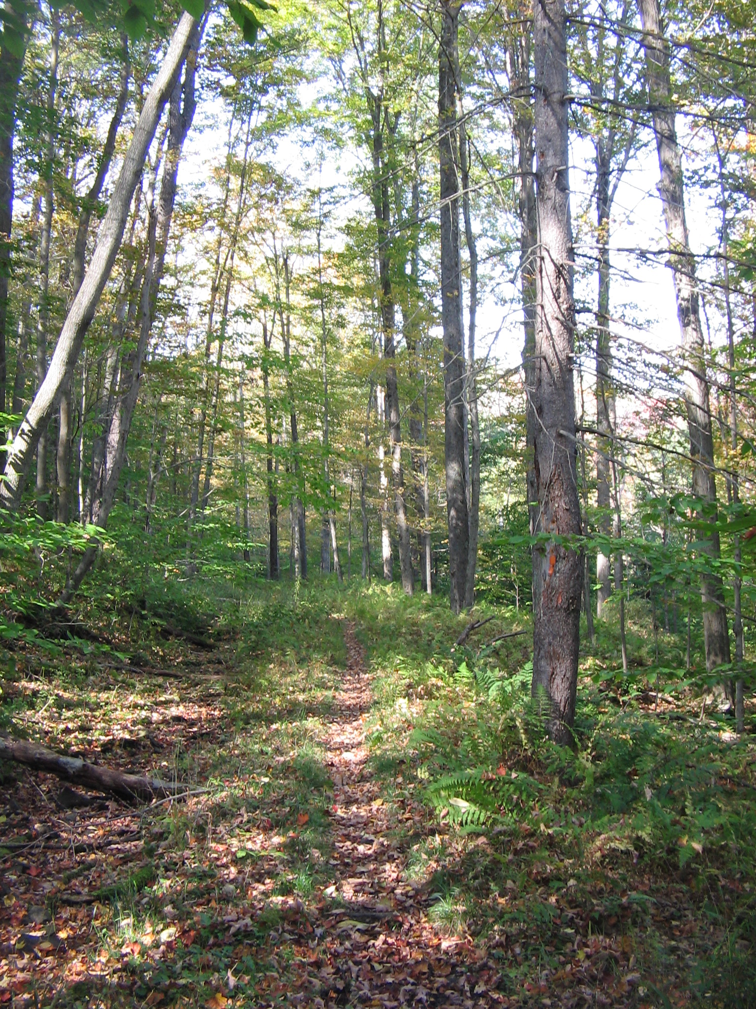 Photo: User:Ruhrfisch, CC BY-SA 3.0 (via Wikimedia Commons)
- 0.2 mi
- round trip
- 2,138 ft
- high point
- Out and back
- route
- Jul–Oct
- best months
Old Loggers Path is a short, flat cross-country ski route in Loyalsock State Forest in Pennsylvania, managed by the State Department of Natural Resources. The trail is an out-and-back that covers about 0.3 miles, with the high point at 2,138 feet and the low at 2,129 feet. The climb is essentially flat, with a slight rise of about 4% at the start. Winter is the natural season for this route. Typical averages from a nearby weather station in Canton, PA, show January highs around 33°F and lows near 15°F, with February only slightly warmer. That station sits well below the trail, so temperatures on the path run cooler. The Sharp-Shinned Trail lies about 0.4 miles away, and the Cherry Ridge Trail is roughly 1.4 miles off. For a change from skiing, the Hawkeye Cross County Ski Trail is about 1.8 miles away, and the S&NY Trail is about 2 miles away.
Local outfitters
- Wild Asaph Outfitters29 mi away
Not on Roamze yet. Their page has how to reach them.
Best time to go · Jul–Oct
Best time to visit Old Loggers Path
Best months: July–October. Best months have typical highs of 55–85 °F, lows of 30 °F or warmer (32 °F where the station doesn't record snow), at most one snowy day and no more than 12 wet days.
Jan
33° / 15°
13 wet
Feb
36° / 16°
11 wet
Mar
44° / 23°
12 wet
Apr
58° / 33°
13 wet
May
69° / 43°
14 wet
Jun
76° / 53°
13 wet
Jul
81° / 57°
12 wet
Aug
79° / 56°
11 wet
Sep
72° / 48°
10 wet
Oct
60° / 37°
12 wet
Nov
48° / 29°
12 wet
Dec
38° / 21°
13 wet
Typical high / low (°F) and days with rain or snow, 1991–2020. Measured at Canton, PA, 8.3 mi away at 1,140 ft. The station sits about 1,000 ft lower than this place, so expect it a little cooler here. This station doesn't record snowfall. Source: NOAA NCEI U.S. Climate Normals 1991–2020.
Keep exploring — more snow worth the drive
Photo: User:Ruhrfisch, CC BY-SA 3.0 (via Wikimedia Commons)Old Loggers Path
Next door
0.16-mile out-and-back ski trail in Pennsylvania with 64 ft of elevation gain.
SEE
Ski Sawmill Family Resort
~41 min drive
Ski Sawmill Family Resort in Pennsylvania has 5 lifts and 11 downhill runs.
Photo: User:Ruhrfisch, CC BY-SA 3.0 (via Wikimedia Commons)Old Loggers Path
~3 min drive
5.11-mile out-and-back ski route in Pennsylvania with 1,131 ft of elevation gain.
Photo: User:Ruhrfisch, CC BY-SA 3.0 (via Wikimedia Commons)Old Loggers Path
~3 min drive
5.36-mile out-and-back route in Pennsylvania with 1,432 ft of elevation gain.
Photo: User:Ruhrfisch, CC BY-SA 3.0 (via Wikimedia Commons)Old Loggers Path
~5 min drive
1.97-mile out-and-back route in Pennsylvania with 852 ft of elevation gain.
Photo: User:Ruhrfisch, CC BY-SA 3.0 (via Wikimedia Commons)Old Loggers Path
~5 min drive
0.16-mile out-and-back ski route in Pennsylvania with 134 ft of elevation gain.
Photo: User:Ruhrfisch, CC BY-SA 3.0 (via Wikimedia Commons)Old Loggers Path
~6 min drive
3.79-mile out-and-back route in Pennsylvania with 1,219 ft of elevation gain.
Photo: User:Ruhrfisch, CC BY-SA 3.0 (via Wikimedia Commons)Old Loggers Path
~6 min drive
1.47-mile out-and-back route in Pennsylvania with 475 ft of elevation gain.
Photo: User:Ruhrfisch, CC BY-SA 3.0 (via Wikimedia Commons)Old Loggers Path
~7 min drive
0.29-mile out-and-back route in Pennsylvania with 51 ft of elevation gain.
Photo: User:Ruhrfisch, CC BY-SA 3.0 (via Wikimedia Commons)Old Loggers Path
~7 min drive
1.86-mile out-and-back route in Pennsylvania with 141 ft of elevation gain.
Map and trail data © OpenStreetMap contributors
