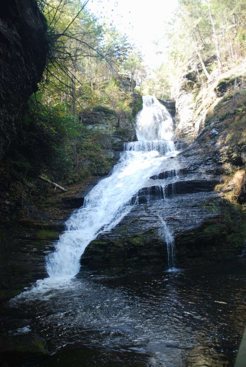
Bear Creek Campgrounds
Campground
Campground · 2.0 mi from the trail
Closure in the area
There's a closure order in Delaware Water Gap National Recreation Area. It doesn't name Two Ponds Trail, so check the source for the area it covers (2 listed).
Old Mine Road North Construction Closure Begins April 6, 2026
Park closure covering Delaware Water Gap National Recreation Area · NPS · Delaware Water Gap National Recreation Area
Dingmans Falls Trail, Road, and Access Closed for Bridge Replacement
Park closure covering Delaware Water Gap National Recreation Area · NPS · Delaware Water Gap National Recreation Area
As of · Source: NPS · Delaware Water Gap National Recreation Area. Agencies don't list every closure — check before you go.
Two Ponds Trail is a short, easy hike in Delaware Water Gap National Recreation Area in Pennsylvania, managed by the National Park Service. The trail is an out-and-back route of about 1.5 miles, with a total elevation gain of 274 feet. The climb is front-loaded, with the steepest stretch at the start, and the high point reaches about 896 feet. The trailhead is named Two Ponds Trail Trailhead, and the hike takes about half an hour. The route is easy, and the trail is close to several other short walks. Tumbling Waters Trail and Fossil Trail both start about 0.1 mile away, and Scenic Gorge Trail is about 0.2 mile off. For comfortable weather, late spring and early fall are the best bets. Typical averages from a nearby weather station in Newton, New Jersey, run to highs around 70°F in May and 75°F in September. That station sits about 290 feet lower than the trail, so temperatures on the trail run a little cooler. Nearby options include the Delaware Water Gap (PA) climbing area, about 4.5 miles away, and Flat Brook, a river fishing spot across the state line in New Jersey at about 5.5 miles.
Bear Creek Campgrounds
Campground
 If it rainsZeete, CC BY-SA 4.0 · Wikimedia Commons
Zinc mine and museum in Ogdensburg, New Jersey
Places © OpenStreetMap contributors, Places © Overture Maps Foundation · Photos: Zeete, CC BY-SA 4.0 (commons)
More in Hackettstown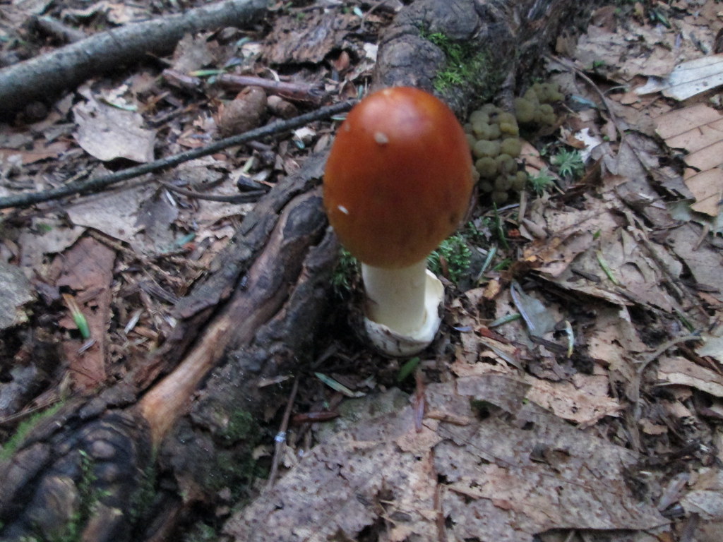 Tumbling Waters TrailHikingPhoto: wasp7ty, CC BY 2.0 (via Flickr)0.1 mi
 Alosa CampsitesCampingPhoto: Recreation.gov (RIDB) / public domain6.9 mi
Source: Roamze catalog (indexable pages within 10 miles, PostGIS distance)
Tumbling Waters TrailHiking · Next doorPhoto: wasp7ty, CC BY 2.0 (via Flickr)Ridgeline TrailHiking · ~1 min drivePhoto: wasp7ty, CC BY 2.0 (via Flickr)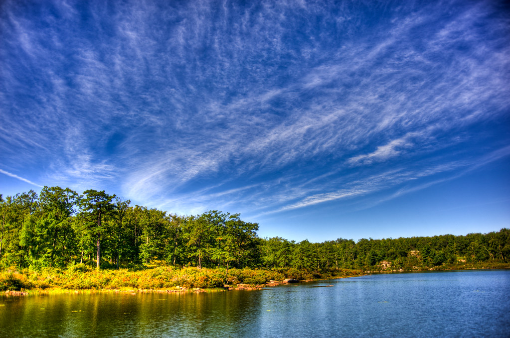 Buttermilk Falls TrailHiking · ~7 min drivePhoto: pennuja, CC BY 2.0 (via Flickr)
 Joseph M. McDade Recreational TrailHiking · ~12 min drivePhoto: Jack and Dianne, CC BY-SA 2.0 (via Flickr)Unmaintained TrailHiking · ~9 min drivePhoto: pennuja, CC BY 2.0 (via Flickr)
 Hornbecks Creek TrailHiking · ~3 min drivePhoto: John Delacy, CC BY 3.0 (via Wikimedia Commons)
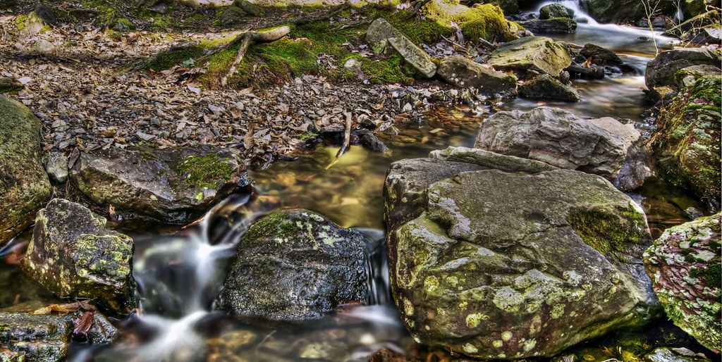 Steffen TrailHiking · ~9 min drivePhoto: j-dub1980(THANK YOU FOR 100k+ Views), CC BY-SA 2.0 (via Flickr)Stoll TrailHiking · ~7 min drivePhoto: j-dub1980(THANK YOU FOR 100k+ Views), CC BY-SA 2.0 (via Flickr)
 Thunder Swamp TrailHiking · ~10 min drivePhoto: Nicholas from Pennsylvania, USA, CC BY 2.0 (via Wikimedia Commons)
Best months: April–October. Best months have typical highs of 55–85 °F, lows of 30 °F or warmer (32 °F where the station doesn't record snow), at most one snowy day and no more than 12 wet days.
Jan
37° / 17°
Feb
40° / 19°
Mar
48° / 28°
Apr
61° / 38°
May
70° / 48°
Jun
80° / 56°
Jul
84° / 62°
Aug
83° / 60°
Sep
75° / 52°
Oct
64° / 41°
Nov
52° / 32°
Dec
41° / 24°
Typical high / low (°F) and days with rain or snow, 1991–2020. Measured at Newton, NJ, 11.4 mi away at 605 ft. This station doesn't record snowfall. Source: NOAA NCEI U.S. Climate Normals 1991–2020.
Map and trail data © OpenStreetMap contributors