Lakeside Trail (Blue)
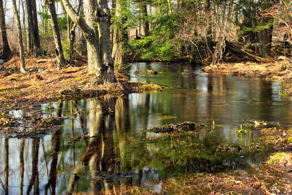 Photo: Nicholas_T, CC BY 2.0 (via Flickr)
- 2.2 mi
- round trip
- 474 ft
- climb
- 2,085 ft
- high point
- Out and back
- route
Lakeside Trail (Blue) is an easy out-and-back hike in Tobyhanna State Park in northeastern Pennsylvania, managed by State Park and Recreation. The trail is about 4.4 miles long, with a total elevation gain of 474 feet, and it starts at roughly 2,053 feet, reaching a high point of 2,085 feet before returning to the starting level. The climb is steady, with the steepest stretch at about 0.32 miles in, where the grade reaches 6 percent. The trail is rated easy, and the round trip takes about 1.5 hours. Summer is the most comfortable time to go. Typical averages from a nearby weather station at Mt Pocono show July highs around 78°F with lows near 58°F, while winter highs stay in the 30s. The Frank Gantz Trail lies just 0.1 mile away, and the Range Trail is about 0.8 mile off. Prospect Rock Trail is roughly 2.9 miles away, and the Lehigh River, about 4 miles away, offers canoeing.
- Frank Gantz TrailHiking0.1 mi
- Range TrailHiking0.8 mi
- Prospect Rock TrailHiking2.9 mi
 Lehigh RiverCanoeingPhoto: The original uploader was Malepheasant at English Wikipedia., CC BY-SA 2.0 (via Wikimedia Commons)4 mi
- Red Hiking TrailHiking8.2 mi
 Blue Hiking TrailHikingPhoto: Nicholas_T, CC BY 2.0 (via Flickr)8.3 mi
- Blue TrailHiking9 mi
- Stable TrailHiking9.5 mi
Source: Roamze catalog (indexable pages within 10 miles, PostGIS distance)
- Blue Hiking TrailHiking · ~14 min drivePhoto: Nicholas_T, CC BY 2.0 (via Flickr)
- Frank Gantz TrailHiking · Next door
- Pinchot TrailHiking · ~19 min drive
 Fitness TrailHiking · ~16 min drivePhoto: Reparallax, CC BY-SA 4.0 (via Wikimedia Commons)
- Range TrailHiking · ~1 min drive
- Watres TrailHiking · ~20 min drive
 Red Rock TrailHiking · ~17 min drivePhoto: Nicholas A. Tonelli from Pennsylvania, USA, CC BY 2.0 (via Wikimedia Commons)
 Skytop Mount TrailHiking · ~17 min drivePhoto: Apuch, CC BY-SA 2.0 (via Flickr)
 Powder Magazine TrailHiking · ~18 min drivePhoto: Nicholas_T, CC BY 2.0 (via Flickr)
 Pine Hill TrailHiking · ~19 min drivePhoto: Nicholas_T, CC BY 2.0 (via Flickr)
Best time to visit Lakeside Trail (Blue)
No month here meets our mild-weather rule. Best months have typical highs of 55–85 °F, lows of 30 °F or warmer (32 °F where the station doesn't record snow), at most one snowy day and no more than 12 wet days.
Jan
30° / 15°
12 wet
Feb
33° / 17°
11 wet
Mar
41° / 24°
13 wet
Apr
55° / 34°
14 wet
May
65° / 45°
16 wet
Jun
73° / 53°
15 wet
Jul
78° / 58°
15 wet
Aug
76° / 56°
15 wet
Sep
69° / 50°
14 wet
Oct
57° / 39°
13 wet
Nov
46° / 30°
12 wet
Dec
35° / 21°
12 wet
Typical high / low (°F) and days with rain or snow, 1991–2020. Measured at Mt Pocono Mountains Ap, PA, 5.8 mi away at 1,916 ft. This station doesn't record snowfall. Source: NOAA NCEI U.S. Climate Normals 1991–2020.
Map and trail data © OpenStreetMap contributors
