Pine Hill Trail
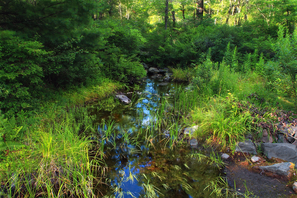 Photo: Nicholas_T, CC BY 2.0 (via Flickr)
- 1.1 mi
- round trip
- 355 ft
- climb
- 2,247 ft
- high point
- Out and back
- route
- Apr–Oct
- best months
Pine Hill Trail is a short, easy hike in Pennsylvania's Thornhurst Tract, managed by the State Department of Natural Resources. The route is an out-and-back that gains about 355 feet in elevation over a round trip of roughly 2.1 miles, with the high point at 2,247 feet. The climb is front-loaded, with the steepest stretch of about 12% grade coming around 0.49 miles in. The start and finish sit at about 2,016 feet, and the trail returns to that level by the end. The most comfortable months for a visit are typically late spring through early fall. Typical averages from a nearby weather station show highs around 67°F in May and 71°F in September, and the station sits well below the trail, so temperatures on the hill run cooler. The trip takes about an hour. The trailhead is in the Thornhurst Tract, and several other routes lie within a mile, including Powder Magazine Trail and Bear Swamp Trail at about half a mile, Boundary Line Trail at about 0.9 miles, and Frank Gantz Trail at about 1.1 miles.
Conditions and forecast on Big Pine Hill
Daily highs and lows, wind and the chance of precipitation at the summit and route start for the next 7 days, from the Open-Meteo model.
 Powder Magazine TrailHikingPhoto: Nicholas_T, CC BY 2.0 (via Flickr)0.5 mi
- Bear Swamp TrailHiking0.5 mi
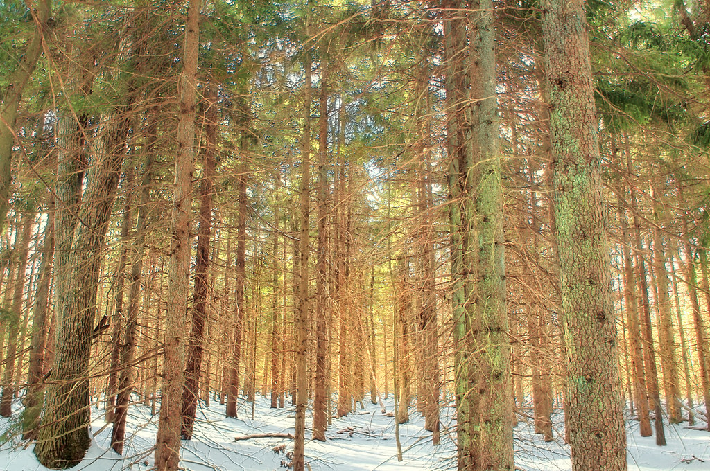 Boundary Line TrailHikingPhoto: Nicholas_T, CC BY 2.0 (via Flickr)0.9 mi
- Frank Gantz TrailHiking1.1 mi
- Sassafras Hill TrailHiking1.1 mi
- White Line TrailHikingPhoto: Nicholas_T, CC BY 2.0 (via Flickr)1.3 mi
- Northeast Ridges and ValleysRock climbing5.1 mi
 Lehigh RiverCanoeingPhoto: The original uploader was Malepheasant at English Wikipedia., CC BY-SA 2.0 (via Wikimedia Commons)7.2 mi
Source: Roamze catalog (indexable pages within 10 miles, PostGIS distance)
- Powder Magazine TrailHiking · Next doorPhoto: Nicholas_T, CC BY 2.0 (via Flickr)
 Boulder Field TrailHiking · ~23 min drivePhoto: Nicholas A. Tonelli from Pennsylvania, USA, CC BY 2.0 (via Wikimedia Commons)
- Pinchot TrailHiking · ~3 min drive
- Boundary Line TrailHiking · ~2 min drivePhoto: Nicholas_T, CC BY 2.0 (via Flickr)
 Gamewire TrailHiking · ~24 min drivePhoto: Jeffrey from Dunmore, PA, CC BY-SA 2.0 (via Wikimedia Commons)
- Watres TrailHiking · ~4 min drive
- White Line TrailHiking · ~2 min drivePhoto: Nicholas_T, CC BY 2.0 (via Flickr)
- Old Glen SummitHiking · ~15 min drive
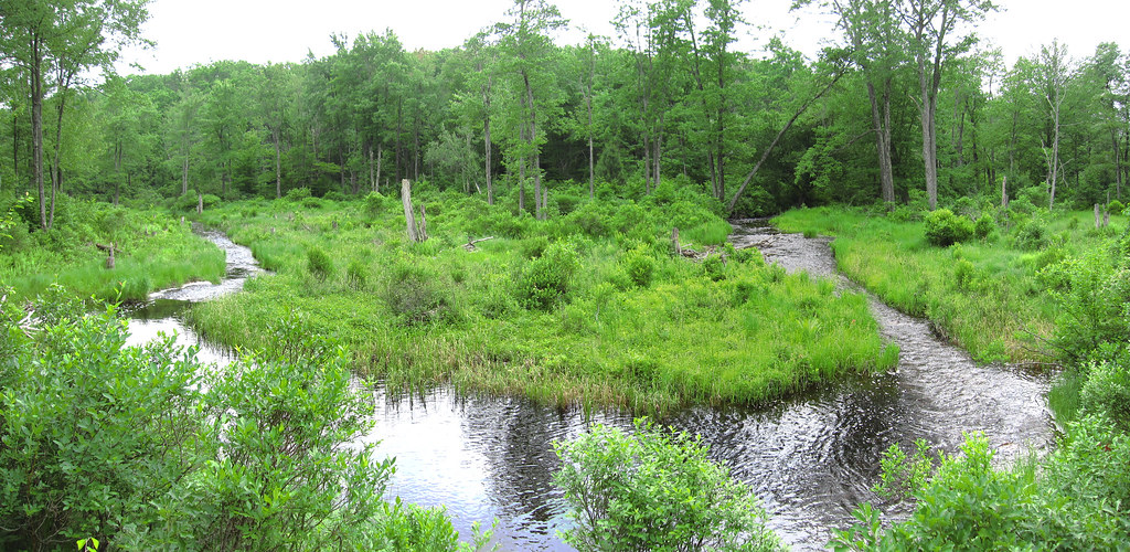 Butler Run TrailHiking · ~5 min drivePhoto: cm195902, CC BY 2.0 (via Flickr)
- Frank Gantz TrailHiking · ~19 min drive
Best time to visit Pine Hill Trail
Best months: April–October. Best months have typical highs of 55–85 °F, lows of 30 °F or warmer (32 °F where the station doesn't record snow), at most one snowy day and no more than 12 wet days.
Jan
31° / 16°
Feb
35° / 17°
Mar
43° / 24°
Apr
57° / 34°
May
67° / 45°
Jun
74° / 54°
Jul
79° / 58°
Aug
77° / 56°
Sep
71° / 49°
Oct
59° / 38°
Nov
47° / 29°
Dec
36° / 22°
Typical high / low (°F) and days with rain or snow, 1991–2020. Measured at Francis E Walter Dam, PA, 8.9 mi away at 1,509 ft. The station sits about 700 ft lower than this place, so expect it a little cooler here. This station doesn't record snowfall. Source: NOAA NCEI U.S. Climate Normals 1991–2020.
Route details
- Distance
- 1.1 mi round trip
- Climbing
- About 355 ft
- Summit
- 2,263 ft
- Difficulty
- Easy
- Time
- About 0.5 hours
Questions about this route
How long is the Pine Hill Trail on Big Pine Hill?
About 1.1 mi round trip.
How much elevation gain is on the Pine Hill Trail?
About 355 ft of climbing round trip.
How hard is the Pine Hill Trail?
It is rated easy.
How long does the Pine Hill Trail take?
About 0.5 hours round trip.
Map and trail data © OpenStreetMap contributors
