Horse Trail
 Photo: BuzzWeiser196, CC BY-SA 4.0 (via Wikimedia Commons)
- 1.8 mi
- round trip
- 1,386 ft
- climb
- 1,329 ft
- high point
- Out and back
- route
- Jun–Oct
- best months
Horse Trail is a 1.8-mile loop in Twin Lakes County Park in Pennsylvania, with a moderate climb of 730 feet. The trail starts at about 1,215 feet and reaches a high point of 1,329 feet, with the steepest stretch at about 1.2 miles in, where the grade reaches 12 percent. The route is rolling, and the total descent is about 656 feet, so the climb is roughly balanced. Late spring and early fall are the most comfortable times to go. Typical averages from a nearby weather station in Mt Pleasant show May highs around 71°F and September highs around 75°F, with July the warmest month at about 82°F. That station sits a few hundred feet lower than the trail, so temperatures on the higher ground run a little cooler. The trip takes about an hour. The Ferrier Family Life Trail and the Tamarack Self-Guided Nature Trail both start within a third of a mile, and the Little Crabtree Creek Trail is about 1.8 miles away. For paddling, Sewickley Creek is about 6.7 miles off.
Local outfitters
- Venture Outdoors34 mi away
- Paddler's Lane Retreat34 mi away
Not on Roamze yet. Their page has how to reach them.
- Ferrier Family Life TrailHikingPhoto: BuzzWeiser196, CC BY-SA 4.0 (via Wikimedia Commons)0.2 mi
- Tamarack Self-Guided Nature TrailHikingPhoto: BuzzWeiser196, CC BY-SA 4.0 (via Wikimedia Commons)0.3 mi
- Little Crabtree Creek TrailHiking1.8 mi
- Bell Memorial TrailHiking4 mi
- Tall Grass TrailHiking4.9 mi
- Sewickley CreekCanoeing6.7 mi
- Bush Recreation AreaCamping8.6 mi
- Loyalhanna Lake PavilionsCamping9.9 mi
Source: Roamze catalog (indexable pages within 10 miles, PostGIS distance)
- Ferrier Family Life TrailHiking · Next doorPhoto: BuzzWeiser196, CC BY-SA 4.0 (via Wikimedia Commons)
- Don Harrison Trail - Blue TrailHiking · ~21 min drive
- Coronary TrailHiking · ~21 min drive
- Tamarack Self-Guided Nature TrailHiking · Next doorPhoto: BuzzWeiser196, CC BY-SA 4.0 (via Wikimedia Commons)
 Stone Lodge TrailHiking · ~11 min drivePhoto: NewAlexPA, CC BY-SA 4.0 (via Wikimedia Commons)
- McCune Run TrailHiking · ~12 min drivePhoto: NewAlexPA, CC BY-SA 4.0 (via Wikimedia Commons)
- Davis Run TrailHiking · ~12 min drivePhoto: NewAlexPA, CC BY-SA 4.0 (via Wikimedia Commons)
 West Penn Trail - Saltsburg to Kiski Section ConnectionHiking · ~20 min drivePhoto: Margaret Luzier, U.S. Army Corps of Engineers, Public domain (via Wikimedia Commons)
 West Penn Trail - Dick Mayer SectionHiking · ~20 min drivePhoto: Margaret Luzier, U.S. Army Corps of Engineers, Public domain (via Wikimedia Commons)
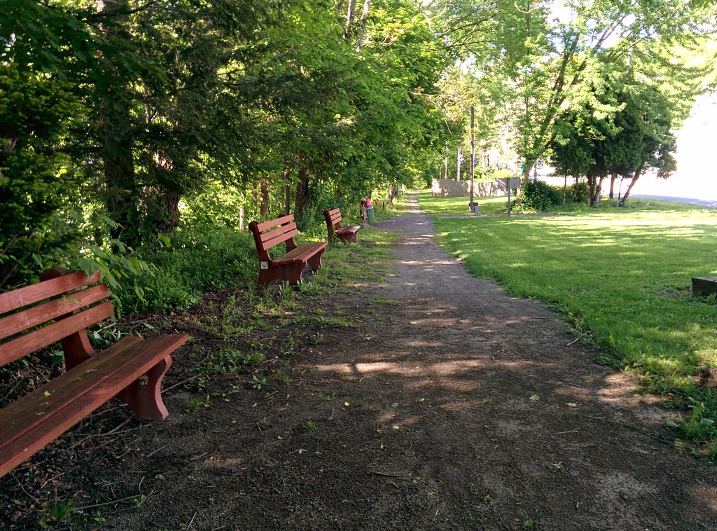 West Penn Trail - Kiski ExtensionHiking · ~20 min drivePhoto: hhm8, CC BY 2.0 (via Flickr)
Best time to visit Horse Trail
Best months: June–October. Best months have typical highs of 55–85 °F, lows of 30 °F or warmer (32 °F where the station doesn't record snow), at most one snowy day and no more than 12 wet days.
Jan
37° / 21°
15 wet · 6 snow
Feb
41° / 21°
12 wet · 5 snow
Mar
50° / 28°
13 wet · 3 snow
Apr
62° / 36°
14 wet
May
71° / 47°
14 wet
Jun
79° / 56°
12 wet
Jul
82° / 60°
12 wet
Aug
81° / 59°
11 wet
Sep
75° / 51°
10 wet
Oct
64° / 40°
11 wet
Nov
52° / 31°
12 wet · 2 snow
Dec
42° / 25°
14 wet · 4 snow
Typical high / low (°F) and days with rain or snow, 1991–2020. Measured at Mt Pleasant, PA, 7.1 mi away at 1,003 ft. Source: NOAA NCEI U.S. Climate Normals 1991–2020.
Map and trail data © OpenStreetMap contributors
