Friends Trail (white)
- 1.5 mi
- round trip
- 879 ft
- climb
- 1,823 ft
- high point
- Out and back
- route
- Aug–Oct
- best months
Friends Trail (white) is a 3-mile out-and-back hike in Salt Springs State Park in Pennsylvania, managed by State Park and Recreation. The trail starts at about 1,380 feet and climbs to a high point of 1,823 feet, with a total elevation gain of 879 feet over the course of the round trip. The climb is front-loaded, with the steepest stretch at about 0.55 miles in, where the grade reaches 18 percent. The most comfortable months for a visit are typically late spring through early fall. Typical averages from a nearby weather station in Montrose, PA, run from highs around 67°F in May to about 71°F in September, with July peaking near 80°F. That station sits a few hundred feet lower than the trail's high point, so temperatures on the summit run a little cooler. The hike takes about 1.5 hours to complete. The Border Trail (blue) lies about a mile away, and Snake Creek, a canoeing spot, is roughly 1.7 miles off. Farther afield, The Endless Mountains Trail is about 5 miles away, and the Toby mountain biking trail is just over 9 miles away.
 Border Trail (blue)HikingPhoto: Doug Kerr from Albany, NY, United States, CC BY-SA 2.0 (via Wikimedia Commons)1 mi
- Snake CreekCanoeing1.7 mi
 The Endless Mountains TrailHikingPhoto: Dougtone, CC BY-SA 2.0 (via Wikimedia Commons)5.2 mi
- TobyMountain biking9.1 mi
- Outer LimitsMountain biking9.1 mi
- Otter LimitsMountain biking9.1 mi
 Yellow Trail, Aquaterra ParkHikingPhoto: Dougtone, CC BY-SA 2.0 (via Wikimedia Commons)9.2 mi
- Zig ZagMountain biking9.2 mi
Source: Roamze catalog (indexable pages within 10 miles, PostGIS distance)
- Border Trail (blue)Hiking · ~2 min drivePhoto: Doug Kerr from Albany, NY, United States, CC BY-SA 2.0 (via Wikimedia Commons)
- The Endless Mountains TrailHiking · ~9 min drivePhoto: Dougtone, CC BY-SA 2.0 (via Wikimedia Commons)
 The Endless Mountains TrailHiking · ~14 min drivePhoto: Larry Lamb, CC BY-SA 3.0 (via Wikimedia Commons)
 Chenango Canal TowpathHiking · ~40 min drivePhoto: Stephen Schweitzer, CC BY-SA 3.0 (via Wikimedia Commons)
- The Endless Mountains TrailHiking · ~9 min drivePhoto: Larry Lamb, CC BY-SA 3.0 (via Wikimedia Commons)
- O&W TrailHiking · ~43 min drive
- Copes Ramble TrailHiking · ~18 min drive
- Yellow Trail, Aquaterra ParkHiking · ~16 min drivePhoto: Dougtone, CC BY-SA 2.0 (via Wikimedia Commons)
- Perimeter Trail (Blue)Hiking · ~27 min drive
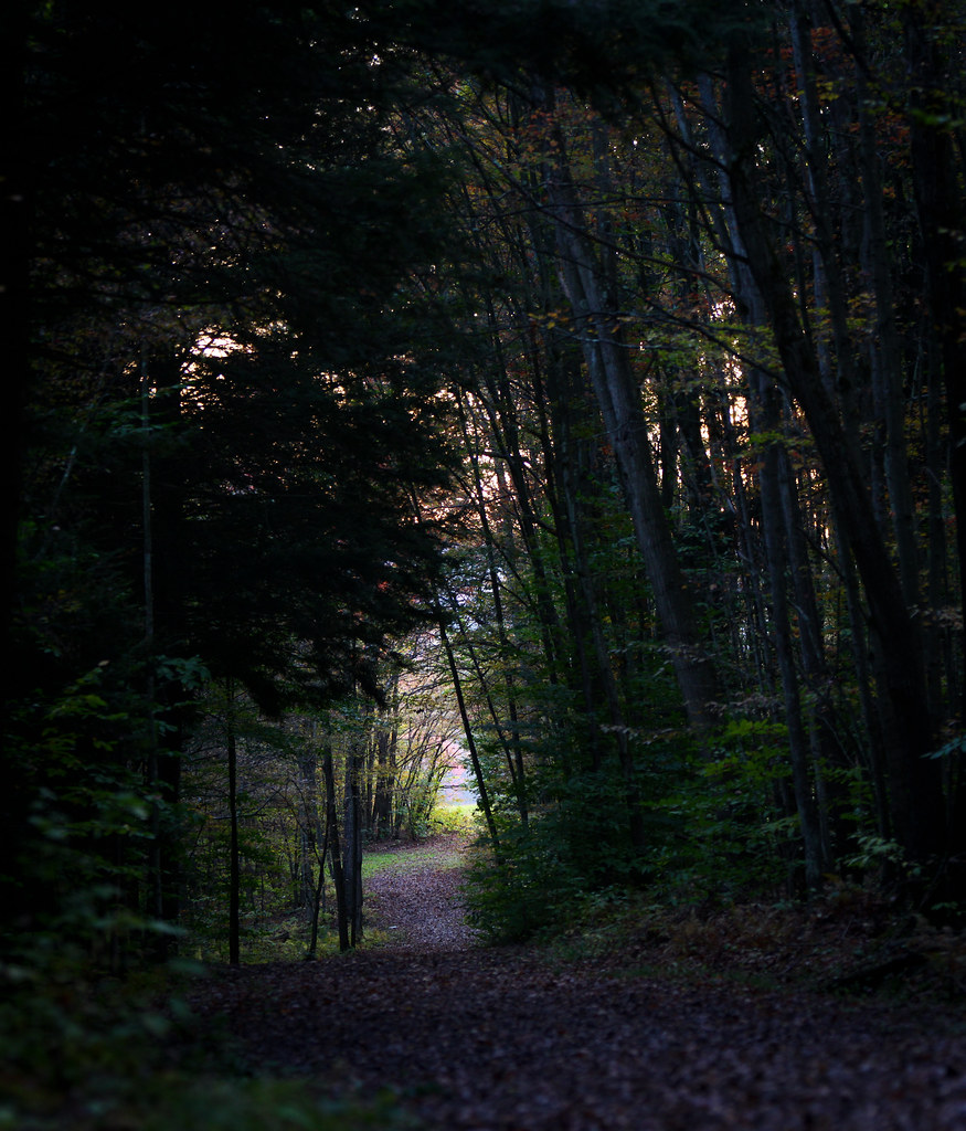 Red EftHiking · ~17 min drivePhoto: waitscm, CC BY 2.0 (via Flickr)
Best time to visit Friends Trail (white)
Best months: August–October. Best months have typical highs of 55–85 °F, lows of 30 °F or warmer (32 °F where the station doesn't record snow), at most one snowy day and no more than 12 wet days.
Jan
31° / 13°
16 wet
Feb
33° / 13°
13 wet
Mar
41° / 21°
15 wet
Apr
55° / 32°
13 wet
May
67° / 42°
14 wet
Jun
75° / 52°
13 wet
Jul
80° / 56°
13 wet
Aug
79° / 54°
12 wet
Sep
71° / 46°
11 wet
Oct
59° / 36°
12 wet
Nov
47° / 27°
13 wet
Dec
36° / 19°
16 wet
Typical high / low (°F) and days with rain or snow, 1991–2020. Measured at Montrose, PA, 4 mi away at 1,420 ft. This station doesn't record snowfall. Source: NOAA NCEI U.S. Climate Normals 1991–2020.
Map and trail data © OpenStreetMap contributors
