Red Eft
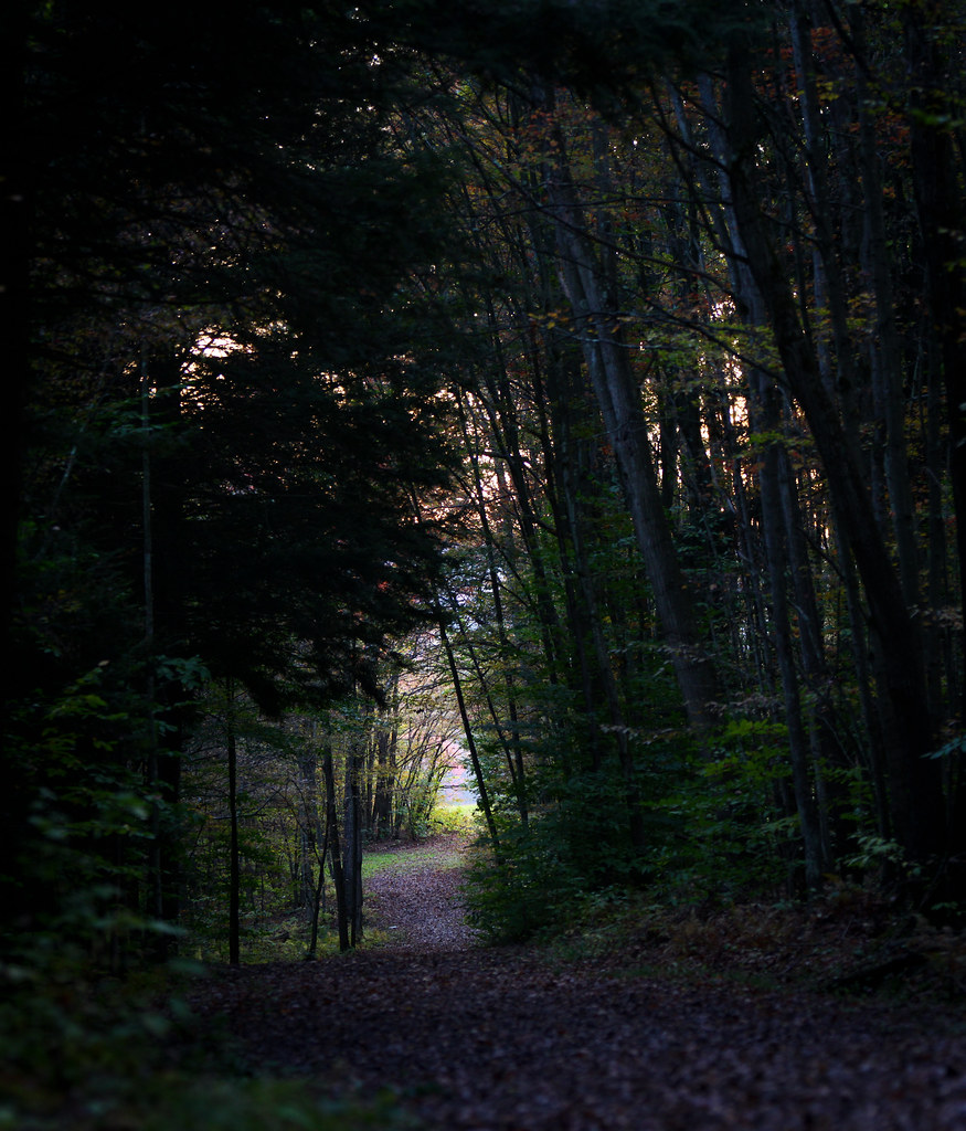 Photo: waitscm, CC BY 2.0 (via Flickr)
- 0.6 mi
- round trip
- 269 ft
- climb
- 1,493 ft
- high point
- Out and back
- route
- Apr–Oct
- best months
Red Eft is an easy out-and-back hike in Jones Park, a city-managed park in New York. The trail is about a mile long, with a total climb of about 270 feet, and it starts at roughly 1,260 feet, reaching a high point of about 1,490 feet before returning to the starting elevation. The climb is front-loaded, with the steepest stretch at about 0.13 miles from the start, where the grade reaches about 12 percent. Late spring and early fall are the most comfortable times to go. Typical averages from a nearby weather station in Endicott show May highs around 70°F and September highs around 74°F, with July the warmest month at about 82°F. That station sits well below the trail, so temperatures on the higher ground run cooler. Mountain bikers will find plenty to ride close by. Double D and Red Eye (bottom) are each about 0.2 miles away, Corner Trail is about 0.4 miles away, and Otter Limits is about 0.6 miles away.
Best time to go · Apr–Oct
Best time to visit Red Eft
Best months: April–October. Best months have typical highs of 55–85 °F, lows of 30 °F or warmer (32 °F where the station doesn't record snow), at most one snowy day and no more than 12 wet days.
Jan
34° / 15°
Feb
36° / 15°
Mar
45° / 23°
Apr
58° / 33°
May
70° / 44°
Jun
78° / 53°
Jul
82° / 58°
Aug
81° / 57°
Sep
74° / 50°
Oct
61° / 39°
Nov
49° / 29°
Dec
39° / 22°
Typical high / low (°F) and days with rain or snow, 1991–2020. Measured at Endicott, NY, 7.2 mi away at 827 ft. The station sits about 700 ft lower than this place, so expect it a little cooler here. This station doesn't record snowfall. Source: NOAA NCEI U.S. Climate Normals 1991–2020.
Keep exploring — more trails worth the drive
 Photo: Dougtone, CC BY-SA 2.0 (via Wikimedia Commons)
Yellow Trail, Aquaterra Park
~5 min drive
1.29-mile loop in Aquaterra Park, New York with 459 ft elevation gain.
 Photo: Doug Kerr from Albany, NY, United States, CC BY-SA 2.0 (via Wikimedia Commons)
Border Trail (blue)
~15 min drive
2.54-mile out-and-back trail in Pennsylvania with 1,113 ft elevation gain
 Photo: Larry Lamb, CC BY-SA 3.0 (via Wikimedia Commons)
The Endless Mountains Trail
~30 min drive
9.4-mile out-and-back in Pennsylvania with 2,973 ft elevation gain
 Photo: jamesbmayr, CC BY 3.0 (via Wikimedia Commons)
Field Trail
~8 min drive
0.50-mile point-to-point trail in New York with 279 ft gain
 Photo: Stephen Schweitzer, CC BY-SA 3.0 (via Wikimedia Commons)
Chenango Canal Towpath
~31 min drive
5.82-mile out-and-back trail along Chenango Canal in New York with 1,809 ft elevation gain.
 Photo: Dougtone, CC BY-SA 2.0 (via Wikimedia Commons)
Pond Trail
~8 min drive
0.85-mile point-to-point trail in New York with 249 ft gain.
 Photo: javajoe6, CC BY-SA 3.0 (via Wikimedia Commons)
Abbott Loop
~56 min drive
A 6.77-mile point-to-point trail through New York's natural landscapes.
Photo: Dougtone, CC BY-SA 2.0 (via Wikimedia Commons)Pipeline Trail
~8 min drive
Pipeline Trail is a 0.76-mile point-to-point trail in New York.
 Photo: javajoe6, CC BY-SA 3.0 (via Wikimedia Commons)
Dabes Diversion Loop
~57 min drive
2.52-mile point-to-point trail in New York with 667 ft elevation gain.
 Photo: waitscm, CC BY 2.0 (via Flickr)
Anthill Trail
~9 min drive
2.68-mile out-and-back hike in New York with 638 ft elevation gain
Map and trail data © OpenStreetMap contributors
