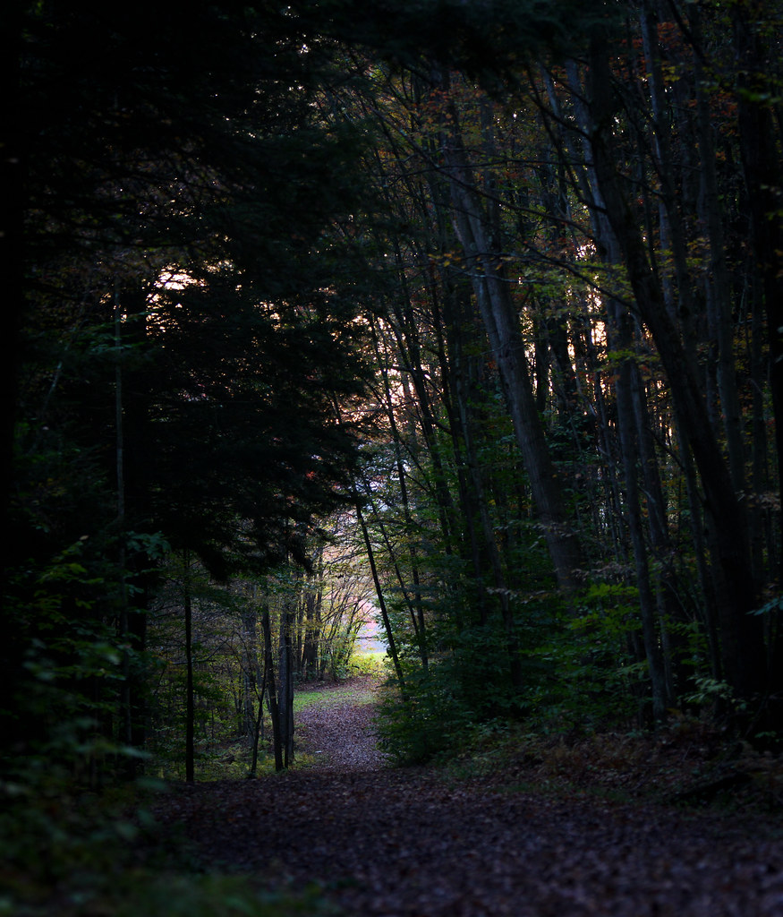
Yellow Trail, Aquaterra Park
 Photo: Dougtone, CC BY-SA 2.0 (via Wikimedia Commons)
- 1.3 mi
- loop
- 459 ft
- climb
- 1,816 ft
- high point
- Loop
- route
- Jun, Aug–Sep
- best months
Yellow Trail is an easy hike of about 1.3 miles in Aquaterra Park on County of Broome land in New York. The trail rises from about 1,419 feet to about 1,816 feet, with a total climb of 459 feet and a steepest stretch of about 28% grade at roughly 0.8 miles in. Summer is the most comfortable time to go. Typical averages from a nearby weather station in Binghamton show July highs around 78°F with lows near 59°F, while winter highs stay around freezing. Mountain bikers will find several trails within a few miles, including Rock n' Roll, Toby, Zig Zag and Outer Limits, all about 2.4 to 2.5 miles away.
Conditions and forecast on Lucky Hill
Daily highs and lows, wind and the chance of precipitation at the summit and route start for the next 7 days, from the Open-Meteo model.
- Rock n' RollMountain biking2.4 mi
- TobyMountain biking2.4 mi
- Zig ZagMountain biking2.5 mi
- Outer LimitsMountain biking2.5 mi
- Otter LimitsMountain biking2.6 mi
- Corner TrailMountain biking2.6 mi
- Red EftMountain biking3.1 mi
- Double DMountain biking3.2 mi
Source: Roamze catalog (indexable pages within 10 miles, PostGIS distance)
 Red EftHiking · ~5 min drivePhoto: waitscm, CC BY 2.0 (via Flickr)
 Border Trail (blue)Hiking · ~15 min drivePhoto: Doug Kerr from Albany, NY, United States, CC BY-SA 2.0 (via Wikimedia Commons)
 The Endless Mountains TrailHiking · ~29 min drivePhoto: Larry Lamb, CC BY-SA 3.0 (via Wikimedia Commons)
 Pond TrailHiking · ~6 min drivePhoto: Dougtone, CC BY-SA 2.0 (via Wikimedia Commons)
 Chenango Canal TowpathHiking · ~27 min drivePhoto: Stephen Schweitzer, CC BY-SA 3.0 (via Wikimedia Commons)
- O&W TrailHiking · ~58 min drive
- Pipeline TrailHiking · ~6 min drivePhoto: Dougtone, CC BY-SA 2.0 (via Wikimedia Commons)
 Dabes Diversion LoopHiking · ~57 min drivePhoto: javajoe6, CC BY-SA 3.0 (via Wikimedia Commons)
 Field TrailHiking · ~7 min drivePhoto: jamesbmayr, CC BY 3.0 (via Wikimedia Commons)
- Perimeter Trail (Blue)Hiking · ~13 min drive
Best time to visit Yellow Trail, Aquaterra Park
Best months: June and August–September. Best months have typical highs of 55–85 °F, lows of 30 °F or warmer (32 °F where the station doesn't record snow), at most one snowy day and no more than 12 wet days.
Jan
30° / 16°
16 wet
Feb
32° / 17°
14 wet
Mar
41° / 24°
15 wet
Apr
54° / 35°
14 wet
May
66° / 46°
14 wet
Jun
74° / 55°
12 wet
Jul
78° / 59°
13 wet
Aug
77° / 58°
11 wet
Sep
70° / 51°
11 wet
Oct
57° / 41°
13 wet
Nov
45° / 31°
14 wet
Dec
34° / 22°
16 wet
Typical high / low (°F) and days with rain or snow, 1991–2020. Measured at Binghamton, NY, 12 mi away at 1,606 ft. This station doesn't record snowfall. Source: NOAA NCEI U.S. Climate Normals 1991–2020.
Route details
- Distance
- 1.3 mi
- Climbing
- About 459 ft
- Summit
- 1,802 ft
- Difficulty
- Easy
- Time
- About 0.5 hours
Questions about this route
How long is the Yellow Trail, Aquaterra Park on Lucky Hill?
About 1.3 mi.
How much elevation gain is on the Yellow Trail, Aquaterra Park?
About 459 ft of climbing round trip.
How hard is the Yellow Trail, Aquaterra Park?
It is rated easy.
How long does the Yellow Trail, Aquaterra Park take?
About 0.5 hours round trip.
Map and trail data © OpenStreetMap contributors
