Stair Creek Falls
- 555 ft
- elevation
- Mar–Jun, Oct–Nov
- best months
Is Stair Creek Falls open right now?
Closure in the area
There's a closure order in Wild Rivers Ranger District. It doesn't name Stair Creek Falls, so check the source for the area it covers.
Illinois Falls Trail Bridge Closure
Agency closure covering Wild Rivers Ranger District · Order 06-10-22-25-02 · USFS · Wild Rivers Ranger District
Illinois River Road Seasonal Restrictions
Agency alert covering Wild Rivers Ranger District · Order 06-10-22-26-01 · USFS · Wild Rivers Ranger District
As of · Source: USFS · Wild Rivers Ranger District. Agencies don't list every closure — check before you go.
Stair Creek Falls is a waterfall in Oregon's Wild Rogue Wilderness, within the Wild Rivers Ranger District of the Rogue River-Siskiyou National Forests. The nearest town is Powers, about 16 miles away. The falls sit at roughly 555 feet of elevation. The most comfortable time to visit is late spring through early fall. Typical averages from the nearby Illahe weather station run from highs around 75°F in May to about 81°F in June, with summer highs climbing into the low 90s. September is milder, with highs near 86°F. Several trails start close by. West Fork Mule Creek is about 2 miles away, and Devils Backbone and Panther Ridge are within about 3.3 miles. For an overnight base, Sru Lake campground is roughly 6 miles off.
- Elevation
- 555 ft
Elevation from USGS 3D Elevation Program terrain data (about 10 m resolution).
- West Fork Mule CreekHiking2 mi
 Devils BackboneHikingPhoto: james shaw, CC BY-SA 3.0 (via Wikimedia Commons)2.2 mi
- Panther RidgeHiking3.3 mi
- Sru LakeCamping5.9 mi
- Buck CreekCamping6 mi
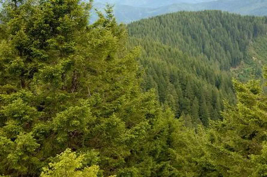 Bald Knob LookoutCampingPhoto: Recreation.gov (RIDB) / public domain6.5 mi
 South Fork Coquille RiverCanoeingPhoto: Headwes at English Wikipedia, CC BY-SA 3.0 (via Wikimedia Commons)7.1 mi
- Big Windy CreekCanoeing8.5 mi
Source: Roamze catalog (indexable pages within 10 miles, PostGIS distance)
- Coquille River FallsWaterfall · ~11 min drive
- Lower Black Bar FallsWaterfall · ~15 min drive
- Upper Black Bar FallsWaterfall · ~16 min drive
- Elk Creek FallsWaterfall · ~17 min drive
- Rainie FallsWaterfall · ~25 min drive
- Silver FallsWaterfall · ~28 min drive
- Lost Creek FallsWaterfall · ~57 min drive
- Little Illinois River FallsWaterfall · ~57 min drive
- Middle Creek FallsWaterfall · ~1h 2m drive
- Laverne FallsWaterfall · ~1h 7m drive
Also worth it near here
- Grave Creek to Marial Back Country BywayScenic drive · ~1 min drive
- Devils BackboneHiking · ~4 min drivePhoto: james shaw, CC BY-SA 3.0 (via Wikimedia Commons)
 Panther RidgeMountain biking · ~6 min drivePhoto: Bureau of Land Management Oregon and Washington, Public domain (via Wikimedia Commons)
- Bald Knob LookoutCamping · ~11 min drive
Best time to visit Stair Creek Falls
Best months: March–June and October–November. Best months have typical highs of 55–85 °F, lows of 30 °F or warmer (32 °F where the station doesn't record snow), at most one snowy day and no more than 12 wet days.
Jan
51° / 37°
Feb
54° / 38°
Mar
59° / 39°
Apr
65° / 40°
May
75° / 43°
Jun
81° / 49°
Jul
90° / 52°
Aug
91° / 52°
Sep
86° / 48°
Oct
69° / 43°
Nov
55° / 40°
Dec
51° / 36°
Typical high / low (°F) and days with rain or snow, 1991–2020. Measured at Illahe, OR, 9.3 mi away at 348 ft. This station doesn't record snowfall. Source: NOAA NCEI U.S. Climate Normals 1991–2020.
Closures we've recorded since August 2026
Stage 2 Public Use Fire Restrictions (Forest-wide)
Rogue River-Siskiyou National Forests · Order dated September 4, 2026; seen Sep 3, 2026 → lifted Oct 28, 2026 · Forest Service
Stage 3 Public Use Fire Restrictions (Forest-wide)
Rogue River-Siskiyou National Forests · Order dated July 17, 2026; seen Aug 23, 2026 → lifted Sep 3, 2026 · Forest Service
