Bus Point
- 3,346 ft
- summit
- 1
- way up
- Jun–Sep
- best months
Is Bus Point open right now?
Closure in the area
There's a closure order in Barlow Ranger District. It doesn't name Bus Point, so check the source for the area it covers (2 listed).
Grasshopper Fire Closure
Agency closure covering Barlow Ranger District · Order 06-06-01-26-18 · USFS · Barlow Ranger District
Closure in place for Grasshopper Fire
Agency closure covering Barlow Ranger District · Order 06-06-01-27-01 · USFS · Barlow Ranger District
Tamanawas Falls Trail closed due to instability hazards
Agency alert covering Mt. Hood National Forest · USFS · Mt. Hood National Forest
Eagle Creek Fire Area Closures
Agency alert covering Mt. Hood National Forest · Order 06-22-01-26-04 · USFS · Mt. Hood National Forest
FR 4613 road damage- use caution
Agency alert covering Mt. Hood National Forest · USFS · Mt. Hood National Forest
As of · Source: USFS · Barlow Ranger District. Agencies don't list every closure — check before you go.
Bus Point is a summit of 3,346 feet in the Barlow Ranger District of Mt. Hood National Forest in Oregon, about 3.8 miles from the community of Sportsmans Park. Summer is the most comfortable time to visit. Typical averages from the nearby Government Camp weather station show July and August highs around 70°F with only about four wet days a month, while winter months bring highs in the mid-30s and rain on most days. Several hikes start close by, including Rock Creek 917 at 0.4 miles and Rock Creek 925 at 0.9 miles. Forest Creek campground is 3.3 miles away, and Rock Creek Campground (Mt. Hood National Forest, OR) is 4.3 miles away.
Conditions and forecast
Daily highs and lows, wind and the chance of precipitation at the summit and route start for the next 7 days, from the Open-Meteo model.
- Summit elevation
- 3,346 ft
Elevation from USGS 3D Elevation Program terrain data (about 10 m resolution).
Map © Mapbox © OpenStreetMap contributors Questions about Bus Point
How tall is Bus Point?
3,346 ft (1,020 m).
How many routes go to the summit of Bus Point?
One: Rock Creek 919.
- Rock Creek 917Hiking0.4 mi
- Rock Creek 925Hiking0.9 mi
- Rock Creek 915Hiking1.3 mi
- Forest CreekCamping3.3 mi
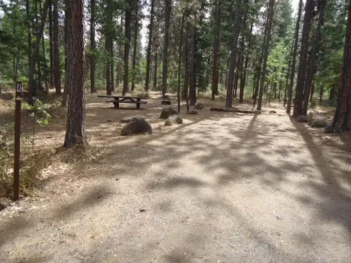 Rock Creek Campground (Mt. Hood National Forest, OR)CampingPhoto: Recreation.gov (RIDB) / public domain4.3 mi
- Badger CreekCanoeing6.2 mi
 White RiverCanoeingPhoto: Cacophony, CC BY-SA 3.0 (via Wikimedia Commons)7 mi
- Area 51Rock climbing9.6 mi
Source: Roamze catalog (indexable pages within 10 miles, PostGIS distance)
 Zigzag MountainSummit · ~34 min drivePhoto: U.S. Forest Service- Pacific Northwest Region, Public domain (via Wikimedia Commons)
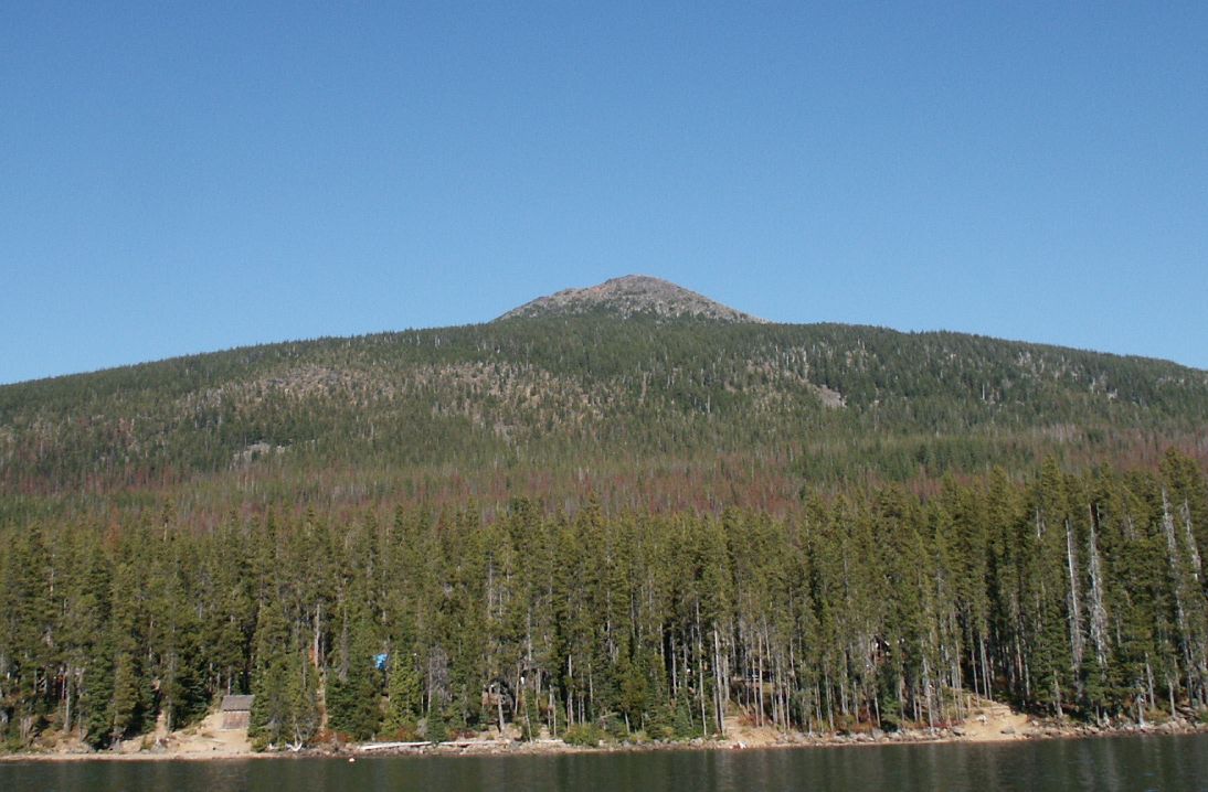 Olallie ButteSummit · ~52 min drivePhoto: M.O. Stevens at en.wikipedia, Public domain (via Wikimedia Commons)
 Mount DefianceSummit · ~56 min drivePhoto: Mehmet Emre Yavuz Meyavuz, CC BY-SA 3.0 (via Wikimedia Commons)
- Rocky ButteSummit · ~6 min drive
- Grasshopper PointSummit · ~7 min drive
- Gordon ButteSummit · ~10 min drive
- Echo PointSummit · ~11 min drive
- Gunsight ButteSummit · ~15 min drive
- Pen PointSummit · ~15 min drive
- Lookout MountainSummit · ~16 min drive
Also worth it near here
 Rock Creek 923Hiking · ~3 min drivePhoto: Ian Poellet (User:Werewombat), CC BY-SA 3.0 (via Wikimedia Commons)
- Rock Creek ReservoirLake fishing · ~7 min drive
- Rock Creek Campground (Mt. Hood National Forest, OR)Camping · ~7 min drive
 Mccubbins Tr #576B: Maze LoopMountain biking · ~9 min drivePhoto: Bureau of Land Management, Public domain (via Wikimedia Commons)
Best time to visit Bus Point
Best months: June–September. Best months have typical highs of 55–85 °F, lows of 30 °F or warmer (32 °F where the station doesn't record snow), at most one snowy day and no more than 12 wet days.
Jan
37° / 26°
20 wet
Feb
38° / 26°
17 wet
Mar
41° / 28°
20 wet
Apr
45° / 31°
18 wet
May
54° / 36°
15 wet
Jun
59° / 41°
10 wet
Jul
69° / 48°
4 wet
Aug
70° / 48°
4 wet
Sep
64° / 45°
8 wet
Oct
53° / 37°
13 wet
Nov
42° / 30°
18 wet
Dec
35° / 26°
21 wet
Typical high / low (°F) and days with rain or snow, 1991–2020. Measured at Government Camp, OR, 14.5 mi away at 3,980 ft. The station sits about 600 ft higher than this place, so expect it a little warmer here. This station doesn't record snowfall. Source: NOAA NCEI U.S. Climate Normals 1991–2020.
