High Rim
- 3.4 mi
- round trip
- 637 ft
- climb
- 5,897 ft
- high point
- Out and back
- route
Is High Rim open right now?
Closure in the area
There's a closure order in Ochoco National Forest. It doesn't name High Rim, so check the source for the area it covers.
Rowe Creek Complex Emergency Closure Order
Agency closure covering Ochoco National Forest · Order 06-07-26-04 · USFS · Ochoco National Forest
Blue-Green Algae Information
Agency alert covering Ochoco National Forest · USFS · Ochoco National Forest
Prescribed Fire information
Agency alert covering Ochoco National Forest · USFS · Ochoco National Forest
As of · Source: USFS · Ochoco National Forest. Agencies don't list every closure — check before you go.
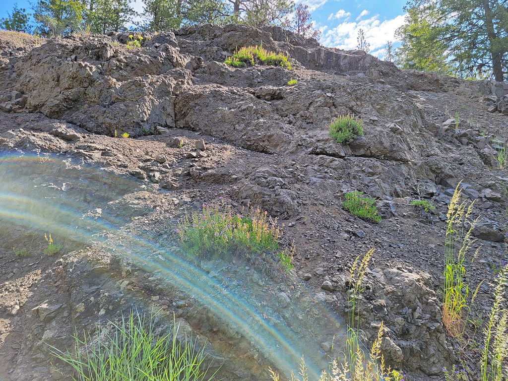
High Rim is a cross-country ski route in Oregon's Ochoco National Forest, within the Lookout Mountain Ranger District. The Forest Service manages the land, and the route is an out-and-back of about 3.4 miles with a total climb of about 637 feet. The high point is 5,897 feet, and the route starts at about 5,611 feet. The climb is rolling, and the steepest stretch comes early, at about 0.13 miles in, with a grade of about 14%. The route is rated moderate, and the total gain and loss are each about 637 feet, so the round trip is roughly double the one-way figure. Several other ski routes sit close by. Lake Trail is about 0.6 miles away, and Drop-Off and Slide Mtn are each about 0.7 miles away. For an overnight stay, Walton Lake campground is about 1.4 miles from the route.
- Lake TrailCross-country skiing0.6 mi
- Drop-OffCross-country skiing0.7 mi
- Slide MtnCross-country skiing0.7 mi
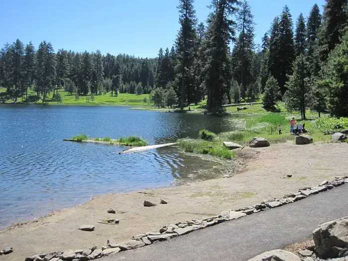 Walton LakeCampingPhoto: Recreation.gov (RIDB) / public domain1.4 mi
- WildwoodCamping2.5 mi
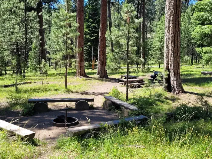 Ochoco Divide Group SiteCampingPhoto: Recreation.gov (RIDB) / public domain4.7 mi
- Elliot CreekCanoeing7.3 mi
- Johnson CreekCanoeing7.4 mi
Source: Roamze catalog (indexable pages within 10 miles, PostGIS distance)
- Lake TrailCross-country skiing · ~1 min drive
- Slide MtnCross-country skiing · ~1 min drive
- Corral LoopCross-country skiing · ~2 min drive
- Slide MtnCross-country skiing · ~2 min drive
- Drop-OffCross-country skiing · ~1 min drive
- WoodpeckerCross-country skiing · ~8 min drive
- Ponderosa LoopCross-country skiing · ~8 min drive
- Ochoco WayCross-country skiing · ~9 min drive
- ButterfieldCross-country skiing · ~1 min drive
- Bike TieCross-country skiing · ~8 min drive