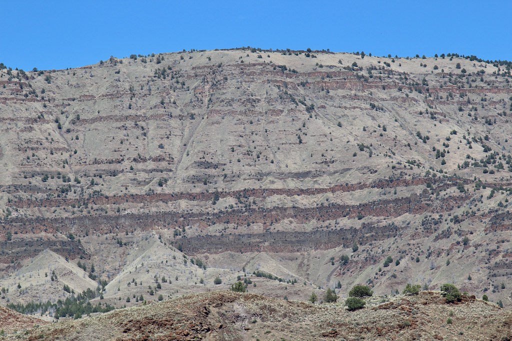
Potamus Creek
- 17.6 mi
- distance
- 5,082 ft
- high point
- May–Oct
- best months
Caution at last check
Agency alerts are in effect for this area; weather is good · USFS, OpenWeather · checked 20 h ago
Is Potamus Creek open right now?
No closures listed
The Forest Service lists no closures for Umatilla National Forest.
As of · Source: USFS · Umatilla National Forest. Agencies don't list every closure — check before you go.
Potamus Creek is a 18-mile paddling stretch near Heppner, Oregon, running year-round through the Heppner Ranger District of the Umatilla National Forest, land managed by the U.S. Forest Service. The creek's average flow is about 31 cubic feet per second, and its gradient is roughly 157.5 feet per mile, making it a steady current to work with. Summer and early fall are the driest and warmest times to paddle. Typical averages from a nearby weather station at Long Creek show July and August highs around 84 to 85°F with only three or four wet days a month. That station sits about 1,300 feet below the creek, so temperatures on the creek run cooler. Several campgrounds lie close by. Penland Lake Campground is about 5 miles away and Divide Well Campground about 5.5 miles. Fivemile Creek, another paddling option, is about 8 miles off, and Freezeout Trail offers a hike within 10 miles.
Local outfitters
- Adventure-Fit47 mi away
Not on Roamze yet. Their page has how to reach them.
- Penland Lake CgCamping4.9 mi
- Divide Well CgCamping5.5 mi
- Ditch Creek Guard Station CabCamping6.1 mi
- Fivemile CreekCanoeing7.9 mi
- Coalmine Hill CgCamping8 mi
- Freezeout TrailHiking9.9 mi
Source: Roamze catalog (indexable pages within 10 miles, PostGIS distance)
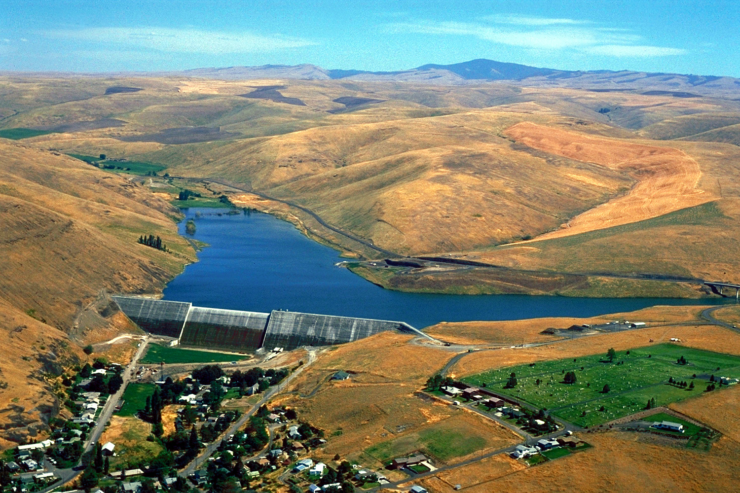 Willow CreekCanoeing · ~1h 1m drivePhoto: Bill Johnson, U.S. Army Corps of Engineers, Public domain (via Wikimedia Commons)
- Wooden Bridge River AccessBoat launch · ~1h 4m drive
 Middle Fork John Day RiverCanoeing · ~1h 6m drivePhoto: Sam Beebe, CC BY 2.0 (via Wikimedia Commons)
- Donnelly Service Creek River Access ParkBoat launch · ~1h 12m drive
 Rock CreekCanoeing · ~1h 8m drivePhoto: Bobjgalindo, CC BY-SA 4.0 (via Wikimedia Commons)
- Grande Ronde Boat LaunchBoat launch · ~1h 25m drive
 Birch CreekCanoeing · ~1h 9m drivePhoto: Bobjgalindo, CC BY-SA 4.0 (via Wikimedia Commons)
- Bull Prairie Boating SiteBoat launch · ~37 min drive
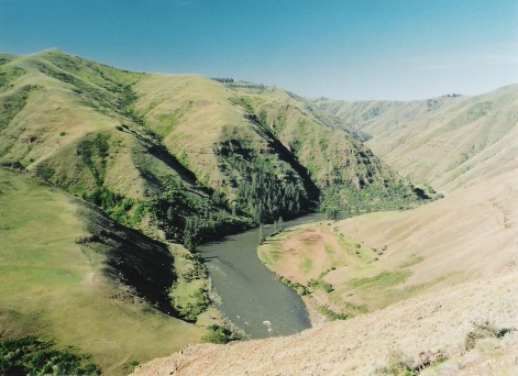 Grande Ronde RiverCanoeing · ~1h 20m drivePhoto: Dsdugan, Public domain (via Wikimedia Commons)
- Magone Lake Boat LaunchBoat launch · ~1h 8m drive
Best time to visit Potamus Creek
Best months: May–October. Best months have typical highs of 55–85 °F, lows of 30 °F or warmer (32 °F where the station doesn't record snow), at most one snowy day and no more than 12 wet days.
Jan
40° / 22°
12 wet · 5 snow
Feb
44° / 23°
11 wet · 4 snow
Mar
50° / 27°
13 wet · 4 snow
Apr
56° / 31°
13 wet · 2 snow
May
65° / 37°
12 wet
Jun
73° / 41°
8 wet
Jul
84° / 47°
4 wet
Aug
85° / 46°
3 wet
Sep
76° / 40°
4 wet
Oct
62° / 33°
9 wet · 1 snow
Nov
47° / 27°
11 wet · 3 snow
Dec
39° / 22°
12 wet · 5 snow
Typical high / low (°F) and days with rain or snow, 1991–2020. Measured at Long Creek, OR, 25.5 mi away at 3,740 ft. The station sits about 1,300 ft lower than this place, so expect it a little cooler here. Source: NOAA NCEI U.S. Climate Normals 1991–2020.