Coalmine Hill Cg
- May–Oct
- best months
Is Coalmine Hill Cg open right now?
No closures listed
The Forest Service lists no closures for Umatilla National Forest.
As of · Source: USFS · Umatilla National Forest. Agencies don't list every closure — check before you go.
- At 4,800 ft
- Heppner Ranger DistrictUmatilla National Forest
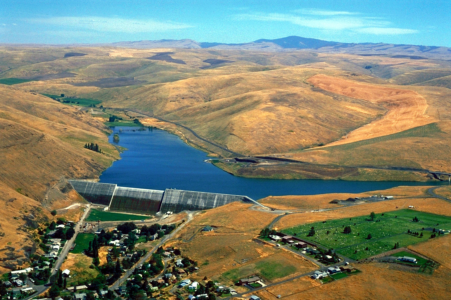
Coalmine Hill is just off the paved Blue Mountain Scenic Byway (also called the Western Route). The Campground serves as access to the Bald Mountain, Hells Half Acre, and Willow Creek trails, offering a 7.5 mile-long loop experience for hikers and equestrians. Once inside the campground 's large parking area, there is an information board on the northeast side. Past the information board runs the Bald Mountain hiking trail leading to Gibson Cave, which is 1.25 miles from the parking lot. The cave is really a shallow overhanging shelter with an interpretive; sign describing its history.Once you 've reached Gibson 's cave, continue up the Bald Mountain trail until you reach a nice view point. The mountain 's view point overlooks the drainages in between Coalmine Hill (to the northwest) and Little Bald Mountain (to the east), providing fantastic views and tranquility. About five miles southwest of the campground is Penland Lake; follow the Blue mountain Scenic Byway and Forest Service Road 21 and 2103, until you 've reached Penland Lake where there are fishing and nonelectric boating opportunities. . Coalmine Hill Campground provides one larger, separate site near the entrance and the remaining five sites are located along the tree edges of the large parking area. There is one vault toilet and a travel access information board. This campground was constructed to serve double-duty as a snow park in the winter. There is no potable water or garbage service, so please pack out all garbage and dispose of it at home.
Local outfitters
- Adventure-Fit44 mi away
Not on Roamze yet. Their page has how to reach them.
- Ditch Creek Guard Station CabCamping3.3 mi
- Penland Lake CgCamping3.5 mi
- Freezeout TrailHiking7.7 mi
- Potamus CreekCanoeing8 mi
Source: Roamze catalog (indexable pages within 10 miles, PostGIS distance)
- Camp RabbanahCamping · ~6 min drive
- Ditch Creek Guard Station CabCamping · ~6 min drive
- Willow Creek CampgroundCamping · ~28 min drive
- Morrow County OHV ParkCamping · ~33 min drive
- Bull Prairie CgCamping · ~36 min drive
- Bull Prairie Campground (north)Camping · ~36 min drive
- Tollbridge CgCamping · ~39 min drive
- Big Bend Recreation SiteCamping · ~51 min drive
- Lone Pine CampgroundCamping · ~52 min drive
- Welch Creek Cg/ThCamping · ~58 min drive
Also worth it near here
Best time to visit Coalmine Hill Cg
Best months: May–October. Best months have typical highs of 55–85 °F, lows of 30 °F or warmer (32 °F where the station doesn't record snow), at most one snowy day and no more than 12 wet days.
Jan
40° / 22°
12 wet · 5 snow
Feb
44° / 23°
11 wet · 4 snow
Mar
50° / 27°
13 wet · 4 snow
Apr
56° / 31°
13 wet · 2 snow
May
65° / 37°
12 wet
Jun
73° / 41°
8 wet
Jul
84° / 47°
4 wet
Aug
85° / 46°
3 wet
Sep
76° / 40°
4 wet
Oct
62° / 33°
9 wet · 1 snow
Nov
47° / 27°
11 wet · 3 snow
Dec
39° / 22°
12 wet · 5 snow
Typical high / low (°F) and days with rain or snow, 1991–2020. Measured at Long Creek, OR, 33.3 mi away at 3,740 ft. The station sits about 1,100 ft lower than this place, so expect it a little cooler here. Source: NOAA NCEI U.S. Climate Normals 1991–2020.