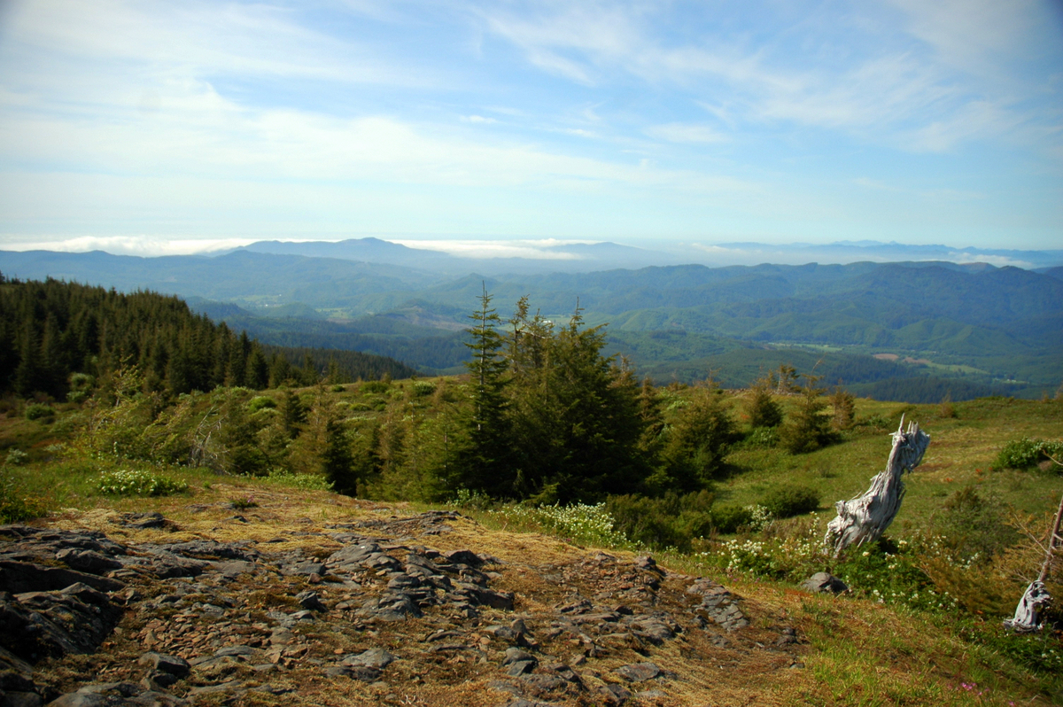
Niagara Creek
- 6.6 mi
- distance
- 1,499 ft
- high point
- May–Sep
- best months
Is Niagara Creek open right now?
Closure in the area
There's a closure order in Hebo Ranger District. It doesn't name Niagara Creek, so check the source for the area it covers (2 listed).
Cascade Head Road (FSR 1861) Motor Vehicle Traffic Closure
Agency closure covering Hebo Ranger District · Order 06-12-01-26-03 · USFS · Hebo Ranger District
Homestead Trailhead Closure
Agency closure covering Siuslaw National Forest · Order 06-12-10-26-11 · USFS · Siuslaw National Forest
Sutton Lake Boat Ramp Closure
Agency alert covering Siuslaw National Forest · Order 06-12-10-26-07 · USFS · Siuslaw National Forest
Forest Service Road 1633 Road Closure
Agency alert covering Hebo Ranger District · Order 06-12-01-26-01 · USFS · Hebo Ranger District
As of · Source: USFS · Hebo Ranger District. Agencies don't list every closure — check before you go.
Niagara Creek is a 6.6-mile paddling stretch in the Hebo Ranger District of Siuslaw National Forest, near Willamina, Oregon. The U.S. Forest Service manages the land along the creek, and the stream flows year-round. Typical averages from a nearby weather station in Cloverdale show July and August highs around 70°F with only about four wet days a month, while winter months see highs in the low 50s and rain on roughly 16 to 19 days. For paddling, the creek carries an average flow of about 51 cubic feet per second and drops about 162 feet per mile. Niagara Falls, a hike about a mile away, makes an easy pairing with a trip. Rocky Bend Group Campground and South Lake Dispersed Camp are both within about 3.5 miles for overnight stays, and Coast Creek, another paddling route, lies about 5.6 miles off.
Local outfitters
- Headlands Coastal Lodge & Spa15 mi away
- Hart's Camp15 mi away
Not on Roamze yet. Their page has how to reach them.
 Niagra FallsHikingPhoto: lumachrome, CC BY-SA 2.0 (via Flickr)1.1 mi
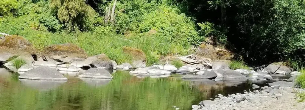 Rocky Bend Group CampgroundCampingPhoto: Recreation.gov (RIDB) / public domain2.9 mi
- South Lake Dispersed CampCamping3.5 mi
- Alder Glen Recreation SiteCamping5 mi
- Coast CreekCanoeing5.6 mi
- Agency CreekCanoeing5.8 mi
- Three RiversCanoeing6.3 mi
- Pioneer IndianHiking7.2 mi
Source: Roamze catalog (indexable pages within 10 miles, PostGIS distance)
 Tillamook RiverCanoeing · ~24 min drivePhoto: Finetooth, CC BY-SA 3.0 (via Wikimedia Commons)
- Trask River Park Day UseBoat launch · ~27 min drive
 Salmon RiverCanoeing · ~24 min drivePhoto: Sam Beebe, CC BY 2.0 (via Wikimedia Commons)
- Steiner Boat LaunchBoat launch · ~29 min drive
- Coast CreekCanoeing · ~10 min drive
- Agency CreekCanoeing · ~10 min drive
- East CreekCanoeing · ~11 min drive
- Moon CreekCanoeing · ~12 min drive
- Elk CreekCanoeing · ~14 min drive
- South Yamhill RiverCanoeing · ~15 min drive
Best time to visit Niagara Creek
Best months: May–September. Best months have typical highs of 55–85 °F, lows of 30 °F or warmer (32 °F where the station doesn't record snow), at most one snowy day and no more than 12 wet days.
Jan
52° / 40°
18 wet
Feb
53° / 40°
16 wet
Mar
55° / 40°
18 wet
Apr
57° / 42°
16 wet
May
62° / 46°
12 wet
Jun
65° / 49°
8 wet
Jul
69° / 52°
4 wet
Aug
70° / 52°
4 wet
Sep
69° / 50°
8 wet
Oct
63° / 46°
13 wet
Nov
56° / 42°
17 wet
Dec
51° / 40°
19 wet
Typical high / low (°F) and days with rain or snow, 1991–2020. Measured at Cloverdale, OR, 11.8 mi away at 12 ft. The station sits about 1,500 ft lower than this place, so expect it a little cooler here. Source: NOAA NCEI U.S. Climate Normals 1991–2020.