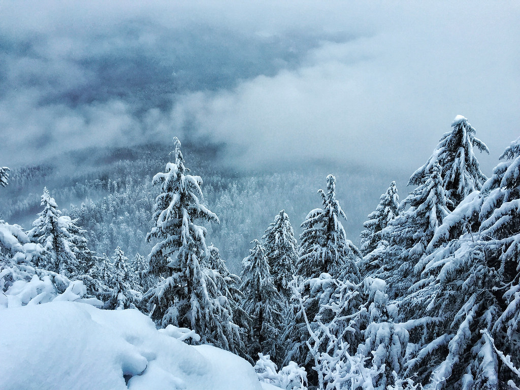
McKenzie Bridge Boating Site
- Apr–Jun, Sep–Oct
- best months
Is McKenzie Bridge Boating Site open right now?
Closure in the area
There's a closure order in Willamette National Forest. It doesn't name McKenzie Bridge Boating Site, so check the source for the area it covers.
Cedar Creek Fire Closure
Agency closure covering Willamette National Forest · Order 06-18-10-26-04 · USFS · Willamette National Forest
FIRE CLOSURES: Current wildfire closures on the Willamette National Forest
Agency alert covering Willamette National Forest · USFS · Willamette National Forest
As of · Source: USFS · Willamette National Forest. Agencies don't list every closure — check before you go.
McKenzie Bridge Boating Site is a boat launch in the McKenzie River Ranger District of Oregon's Willamette National Forest, about 22 miles from the town of Cascadia. It sits right beside the McKenzie Bridge campground, which makes it an easy stop for anyone already camping in the area. The site has restrooms, and no fees are required to use it. That makes it a straightforward place to put a boat in the water without added cost. Summer is the warmest stretch for getting on the water. Typical averages from a nearby weather station show July and August highs around 86°F with lows near 50°F, while June and September run a little milder, with highs in the upper 70s. Paddlers and hikers have plenty to pair with a day on the water. The Frissel and Olallie hikes are both within about 2 miles, and the Horse Creek Group Campground is close by for an overnight stay. Lookout Creek, about 4 miles away, offers more canoeing.
- Fee
- No fee
- Restrooms
- Yes
 McKenzie BridgeCampingPhoto: Recreation.gov (RIDB) / public domain0.2 mi
 FrisselHikingPhoto: theslowlane, CC BY 2.0 (via Flickr)1.8 mi
 Horse Creek Group CampgroundCampingPhoto: Recreation.gov (RIDB) / public domain1.8 mi
- OlallieHiking2.1 mi
- Lookout CreekCanoeing3.8 mi
- East Fork South Fork McKenzie RiverCanoeing5.5 mi
- The Great ArchRock climbing8.8 mi
- South East FaceRock climbing8.8 mi
Source: Roamze catalog (indexable pages within 10 miles, PostGIS distance)
 French Pete CreekCanoeing · ~20 min drivePhoto: JAR, CC BY 2.0 (via Wikimedia Commons)
- Echo Boat RampBoat launch · ~7 min drive
- McKenzie River Ranger District (Hwy 126)Float trip · ~5 min drive
 Horse CreekCanoeing · ~23 min drivePhoto: James B. Norman and Murray Stone, Photographers, Public domain (via Wikimedia Commons)
- Saddle Dam Boat RampBoat launch · ~9 min drive
- Paradise In OregonFloat trip · ~7 min drive
 South Santiam RiverCanoeing · ~30 min drivePhoto: Peteforsyth, CC0 (via Wikimedia Commons)
- Frissell Boat LaunchBoat launch · ~12 min drive
- DeltaFloat trip · ~9 min drive
 Fall CreekCanoeing · ~30 min drivePhoto: Jsayre64, CC BY-SA 3.0 (via Wikimedia Commons)
Best time to visit McKenzie Bridge Boating Site
Best months: April–June and September–October. Best months have typical highs of 55–85 °F, lows of 30 °F or warmer (32 °F where the station doesn't record snow), at most one snowy day and no more than 12 wet days.
Jan
43° / 31°
Feb
47° / 32°
Mar
53° / 33°
Apr
61° / 37°
May
70° / 43°
Jun
77° / 47°
Jul
86° / 51°
Aug
86° / 49°
Sep
76° / 45°
Oct
59° / 39°
Nov
47° / 35°
Dec
41° / 31°
Typical high / low (°F) and days with rain or snow, 1991–2020. Measured at Mckenzie Rvr Rs, OR, 3.1 mi away at 1,478 ft. We don't have this place's elevation, so higher spots nearby can run cooler. This station doesn't record snowfall. Source: NOAA NCEI U.S. Climate Normals 1991–2020.