Bruckart Bridge Boat Landing
- Jun, Sep
- best months
Caution at last check
Agency alerts are in effect for this area; weather is good · USFS, OpenWeather · checked 22 h ago
Is Bruckart Bridge Boat Landing open right now?
Closure in the area
There's a closure order in Willamette National Forest. It doesn't name Bruckart Bridge Boat Landing, so check the source for the area it covers.
Cedar Creek Fire Closure
Agency closure covering Willamette National Forest · Order 06-18-10-26-04 · USFS · Willamette National Forest
FIRE CLOSURES: Current wildfire closures on the Willamette National Forest
Agency alert covering Willamette National Forest · USFS · Willamette National Forest
As of · Source: USFS · Willamette National Forest. Agencies don't list every closure — check before you go.
Bruckart Bridge Boat Landing is a boat launch in the McKenzie River Ranger District of Oregon's Willamette National Forest, about 20 miles from the town of Cascadia. It is a simple put-in with no fees required to use it, and the site has restrooms. Summer is the most comfortable time to visit. Typical averages from the nearby Cougar Dam weather station show July and August highs around 89°F with only about three wet days a month, while winter months bring highs in the upper 40s and rain on most days. Delta campground and the Delta Old Growth Nature Trail #3317 are both about a mile away, and King Castle is about 1.6 miles off. Mona campground is roughly 2.4 miles away.
- Fee
- No fee
- Restrooms
- Yes
 DeltaCampingPhoto: Recreation.gov (RIDB) / public domain1.2 mi
 Delta Old Growth Nature Trail #3317HikingPhoto: Robert Ashworth from Bellingham, WA., USA, CC BY 2.0 (via Wikimedia Commons)1.3 mi
- King CastleHiking1.6 mi
 MonaCampingPhoto: Recreation.gov (RIDB) / public domain2.4 mi
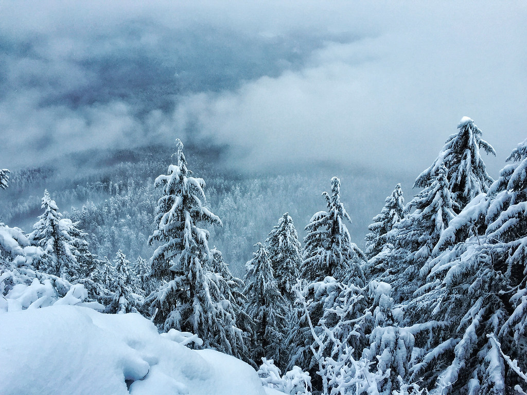 Castle RockHikingPhoto: Forest Service Pacific Northwest Region, Public Domain Mark (via Flickr)2.5 mi
- Tidbits CreekCanoeing5.3 mi
- Lookout CreekCanoeing6.4 mi
- Willamette ValleyRock climbing8.7 mi
Source: Roamze catalog (indexable pages within 10 miles, PostGIS distance)
 Blue RiverCanoeing · ~11 min drivePhoto: Tedder, CC BY 3.0 (via Wikimedia Commons)
- Saddle Dam Boat RampBoat launch · ~2 min drive
- DeltaFloat trip · ~2 min drive
 French Pete CreekCanoeing · ~22 min drivePhoto: JAR, CC BY 2.0 (via Wikimedia Commons)
- Echo Boat RampBoat launch · ~7 min drive
- McKenzie River Ranger District (Hwy 126)Float trip · ~12 min drive
 Horse CreekCanoeing · ~28 min drivePhoto: James B. Norman and Murray Stone, Photographers, Public domain (via Wikimedia Commons)
- McKenzie Bridge Boating SiteBoat launch · ~7 min drive
- Paradise In OregonFloat trip · ~14 min drive
 McKenzie RiverCanoeing · ~28 min drivePhoto: Bob Heims, U.S. Army Corps of Engineers, Public domain (via Wikimedia Commons)
Best time to visit Bruckart Bridge Boat Landing
Best months: June and September. Best months have typical highs of 55–85 °F, lows of 30 °F or warmer (32 °F where the station doesn't record snow), at most one snowy day and no more than 12 wet days.
Jan
49° / 39°
19 wet
Feb
53° / 39°
17 wet
Mar
58° / 41°
21 wet
Apr
64° / 45°
18 wet
May
74° / 50°
14 wet
Jun
79° / 55°
8 wet
Jul
89° / 59°
3 wet
Aug
89° / 58°
3 wet
Sep
82° / 54°
7 wet
Oct
68° / 48°
13 wet
Nov
55° / 43°
18 wet
Dec
48° / 39°
20 wet
Typical high / low (°F) and days with rain or snow, 1991–2020. Measured at Cougar Dam, OR, 2.5 mi away at 1,260 ft. We don't have this place's elevation, so higher spots nearby can run cooler. This station doesn't record snowfall. Source: NOAA NCEI U.S. Climate Normals 1991–2020.
