Upper Hooligan Trail
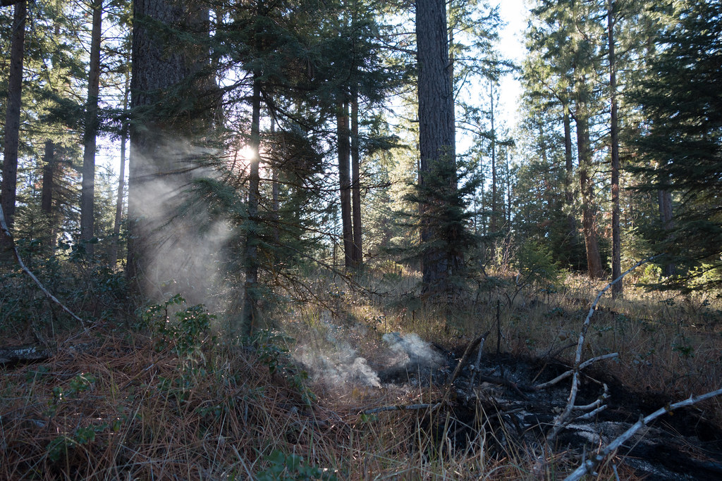
 Photo: Eric Friedebach, CC BY 3.0 (via Wikimedia Commons)
- 2.0 mi
- distance
- 461 ft
- climb
- Dirt
- surface
- May–Oct
- best months
Upper Hooligan Trail is a 2.03-mile route at Spence Mountain in Oregon with 1,106 feet of elevation gain. The trail follows a dirt surface through the Spence Mountain trail system.
Local outfitters
- Ashland Mountain Adventures39 mi away
Not on Roamze yet. Their page has how to reach them.
 MazamaMountain biking · ~1 min drivePhoto: Eric Friedebach, CC BY 3.0 (via Wikimedia Commons)
- Hotsprings BacksideMountain biking · ~23 min drive
- Spence PeakMountain biking · ~1 min drivePhoto: Eric Friedebach, CC BY 3.0 (via Wikimedia Commons)
- WinemaMountain biking · ~3 min drivePhoto: Eric Friedebach, CC BY 3.0 (via Wikimedia Commons)
- North StarMountain biking · ~3 min drivePhoto: Eric Friedebach, CC BY 3.0 (via Wikimedia Commons)
- Old EagleMountain biking · ~3 min drivePhoto: Eric Friedebach, CC BY 3.0 (via Wikimedia Commons)
 South RidgeMountain biking · ~24 min drivePhoto: Eric Friedebach, CC BY 3.0 (via Wikimedia Commons)
- Peak TieMountain biking · Next door
- Nighthawk TrailMountain biking · ~2 min drive
- North RidgeMountain biking · ~2 min drive
Best time to visit Upper Hooligan Trail
Best months: May–October. Best months have typical highs of 55–85 °F, lows of 30 °F or warmer (32 °F where the station doesn't record snow), at most one snowy day and no more than 12 wet days.
Jan
36° / 23°
15 wet · 9 snow
Feb
40° / 23°
14 wet · 8 snow
Mar
45° / 26°
16 wet · 8 snow
Apr
50° / 29°
13 wet · 4 snow
May
60° / 36°
11 wet · 1 snow
Jun
68° / 40°
5 wet
Jul
79° / 47°
3 wet
Aug
79° / 46°
2 wet
Sep
72° / 40°
4 wet
Oct
58° / 33°
8 wet · 1 snow
Nov
42° / 28°
13 wet · 5 snow
Dec
35° / 23°
15 wet · 9 snow
Typical high / low (°F) and days with rain or snow, 1991–2020. Measured at Howard Prairie Dam, OR, 22.9 mi away at 4,567 ft. The station sits about 1,200 ft lower than this place, so expect it a little cooler here. Source: NOAA NCEI U.S. Climate Normals 1991–2020.
Map and trail data © OpenStreetMap contributors
