Snomobile # 1
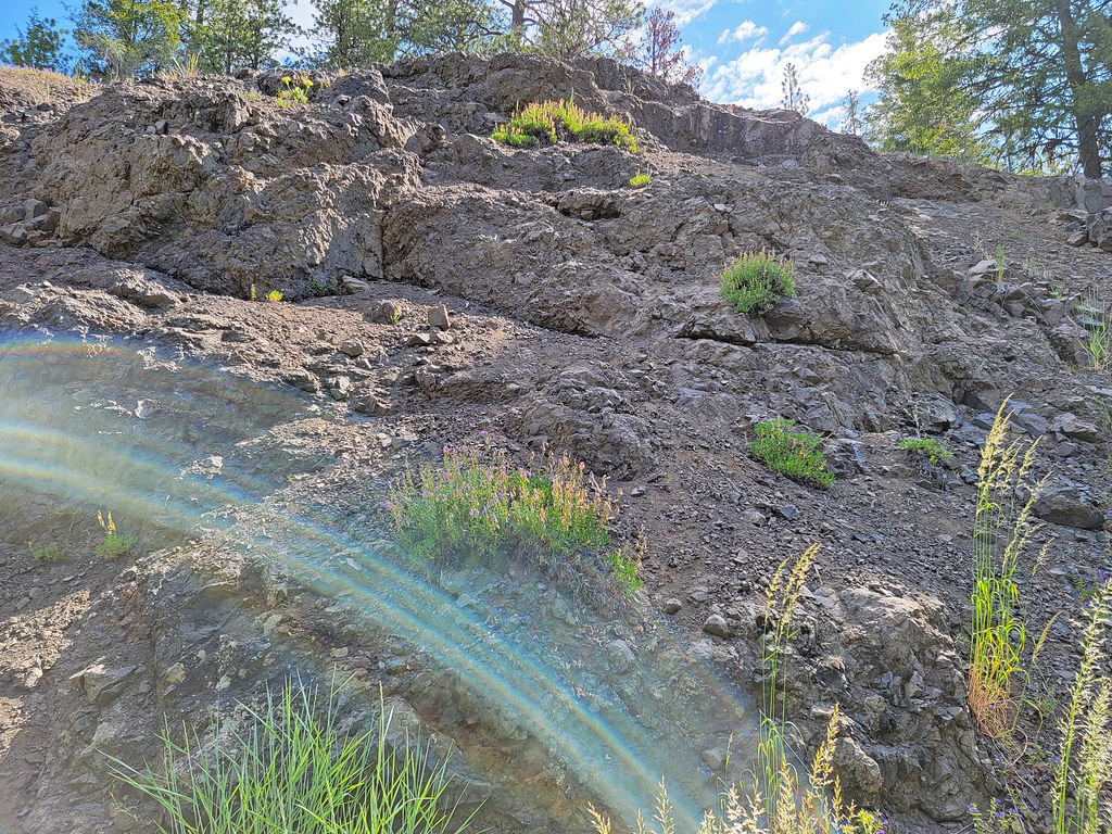
 Photo: Chaneyforkriver, CC BY-SA 4.0 (via Wikimedia Commons)
- 1.3 mi
- distance
- 133 ft
- climb
- Apr–Jun, Sep–Oct
- best months
Is Snomobile # 1 open right now?
Closure in the area
There's a closure order in Ochoco National Forest. It doesn't name Snomobile # 1, so check the source for the area it covers.
Rowe Creek Complex Emergency Closure Order
Agency closure covering Ochoco National Forest · Order 06-07-26-04 · USFS · Ochoco National Forest
Blue-Green Algae Information
Agency alert covering Ochoco National Forest · USFS · Ochoco National Forest
Prescribed Fire information
Agency alert covering Ochoco National Forest · USFS · Ochoco National Forest
As of · Source: USFS · Ochoco National Forest. Agencies don't list every closure — check before you go.
Snomobile #1 is a 1.29-mile trail in the Ochoco Butte trail system in Oregon. The route gains 128 feet of elevation.
 Walton LakeMountain biking · Next doorPhoto: Chaneyforkriver, CC BY-SA 4.0 (via Wikimedia Commons)
- Escape from MoscowMountain biking · ~1h 24m drive
- Lake TrailMountain biking · ~1 min drivePhoto: Chaneyforkriver, CC BY-SA 4.0 (via Wikimedia Commons)
- Snomobile #12Mountain biking · ~1 min drivePhoto: Chaneyforkriver, CC BY-SA 4.0 (via Wikimedia Commons)
- Slide MtnMountain biking · ~1 min drivePhoto: Chaneyforkriver, CC BY-SA 4.0 (via Wikimedia Commons)
- High RimMountain biking · ~2 min drivePhoto: Chaneyforkriver, CC BY-SA 4.0 (via Wikimedia Commons)
 Snomobile #2Mountain biking · ~2 min drivePhoto: Chaneyforkriver, CC0 (via Wikimedia Commons)
 Basalt TrailMountain biking · ~1h 17m drivePhoto: Bureau of Land Management Oregon and Washington from Portland, America, Public domain (via Wikimedia Commons)
 Tumulus TrailMountain biking · ~1h 17m drivePhoto: Bureau of Land Management Oregon and Washington from Portland, America, Public domain (via Wikimedia Commons)
- Black Lava TrailMountain biking · ~1h 18m drivePhoto: Bureau of Land Management Oregon and Washington from Portland, America, Public domain (via Wikimedia Commons)
Also worth it near here
Best time to visit Snomobile # 1
Best months: April–June and September–October. Best months have typical highs of 55–85 °F, lows of 30 °F or warmer (32 °F where the station doesn't record snow), at most one snowy day and no more than 12 wet days.
Jan
41° / 23°
11 wet · 4 snow
Feb
46° / 26°
9 wet · 3 snow
Mar
53° / 29°
10 wet · 2 snow
Apr
60° / 32°
10 wet · 1 snow
May
69° / 39°
9 wet
Jun
78° / 44°
6 wet
Jul
89° / 50°
4 wet
Aug
88° / 48°
3 wet
Sep
80° / 41°
4 wet
Oct
65° / 33°
6 wet
Nov
49° / 28°
10 wet · 2 snow
Dec
40° / 23°
11 wet · 5 snow
Typical high / low (°F) and days with rain or snow, 1991–2020. Measured at Barnes Stn, OR, 34.8 mi away at 3,970 ft. The station sits about 1,600 ft lower than this place, so expect it a little cooler here. Source: NOAA NCEI U.S. Climate Normals 1991–2020.

Map and trail data © OpenStreetMap contributors
