Northwest Firelane 1 Road
- 0.4 mi
- round trip
- 154 ft
- climb
- Singletrack
- surface
- Out and back
- route
- May–Sep
- best months
Clear today
Weather is good · OpenWeather · checked 9 h ago
Northwest Firelane 1 Road is a short, easy mountain biking route in Oregon, about 1.2 miles from the community of Barnes Heights. The ride is an out-and-back of roughly 0.8 miles, with a total elevation gain of about 154 feet. The climb is gentle, with the steepest stretch at about 0.3 miles in, where the grade reaches 8 percent. The high point is around 984 feet, and the low point is about 913 feet. Summer is the most comfortable time to ride. Typical averages from a nearby weather station in Portland show July and August highs around 80 to 81°F, with only three or four wet days a month. That station sits well below the route, so temperatures on the road run cooler. The Alder Trail, Chestnut Trail and Nature Trail are all about half a mile away. For paddling, Beaverton Creek is about 6.4 miles off.
Local outfitters
- Bike the Gorge42 mi away
Not on Roamze yet. Their page has how to reach them.
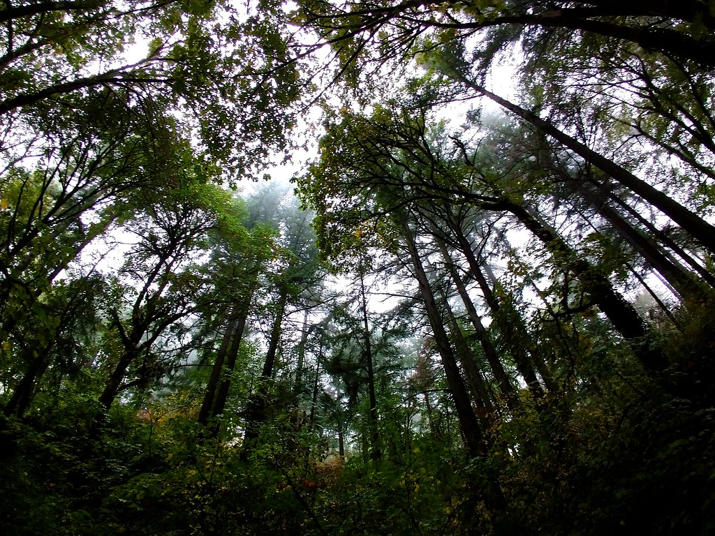 Alder TrailHikingPhoto: Ben Laufer, CC BY 2.0 (via Flickr)0.5 mi
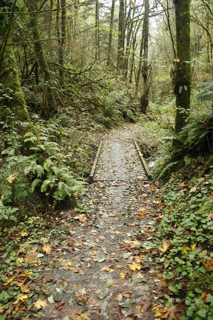 Chestnut TrailHikingPhoto: Evan-Lovely, CC BY-SA 2.0 (via Flickr)0.5 mi
 Nature TrailHikingPhoto: Jon Roberts from Austin TX, USA, CC BY-SA 2.0 (via Wikimedia Commons)0.5 mi
- Beaverton CreekCanoeing6.4 mi
 Fanno CreekCanoeingPhoto: Finetooth, CC BY-SA 3.0 (via Wikimedia Commons)6.9 mi
- Rock CreekCanoeing7.5 mi
- l. Wall of ShadowsRock climbing8.6 mi
- k. Breakfast CracksRock climbing8.6 mi
Source: Roamze catalog (indexable pages within 10 miles, PostGIS distance)
- Northwest Firelane 1 RoadMountain biking · Next door
- Northwest Leif Erikson DriveMountain biking · ~2 min drive
- Northwest Firelane 5 RoadMountain biking · ~3 min drive
- Northwest Firelane 1 RoadMountain biking · ~1 min drive
- Northwest Leif Erikson DriveMountain biking · ~3 min drive
- Northwest Newton RoadMountain biking · ~8 min drive
- Northwest Leif Erikson DriveMountain biking · ~1 min drive
- Northwest Firelane 10 RoadMountain biking · ~7 min drive
- Northwest BPA RoadMountain biking · ~9 min drive
- Northwest Firelane 1 RoadMountain biking · ~1 min drive
Best time to visit Northwest Firelane 1 Road
Best months: May–September. Best months have typical highs of 55–85 °F, lows of 30 °F or warmer (32 °F where the station doesn't record snow), at most one snowy day and no more than 12 wet days.
Jan
47° / 37°
19 wet · 1 snow
Feb
51° / 39°
16 wet
Mar
56° / 41°
18 wet
Apr
61° / 44°
16 wet
May
68° / 49°
12 wet
Jun
73° / 53°
8 wet
Jul
80° / 58°
4 wet
Aug
81° / 59°
3 wet
Sep
75° / 55°
7 wet
Oct
63° / 48°
13 wet
Nov
52° / 42°
18 wet
Dec
46° / 37°
20 wet · 1 snow
Typical high / low (°F) and days with rain or snow, 1991–2020. Measured at Portland Kgw-Tv, OR, 3.4 mi away at 159 ft. The station sits about 800 ft lower than this place, so expect it a little cooler here. Source: NOAA NCEI U.S. Climate Normals 1991–2020.
Map and trail data © OpenStreetMap contributors
