Yakso Falls
- 1.4 mi
- round trip
- 245 ft
- climb
- 3,165 ft
- high point
- Out and back
- route
- Jun, Aug–Oct
- best months
Caution today
Agency alerts are in effect for this area; weather is good · USFS, OpenWeather · checked 5 h ago
Is Yakso Falls open right now?
Alert in the area
The Forest Service lists 4 alerts for Umpqua National Forest.
Fall Prescribed Burning
Agency alert covering Umpqua National Forest · USFS · Umpqua National Forest
Poole Creek Campground Closed for the 2026 Season
Agency alert covering Umpqua National Forest · USFS · Umpqua National Forest
National Forest Service Road 28 Roadwork
Agency alert covering Umpqua National Forest · USFS · Umpqua National Forest
Blue-Green Algae Precaution for Diamond and Lemolo Lakes
Agency alert covering Umpqua National Forest · USFS · Umpqua National Forest
As of · Source: USFS · Umpqua National Forest. Agencies don't list every closure — check before you go.
Yakso Falls is an easy out-and-back hike of about 1.4 miles in the North Umpqua Ranger District of Oregon's Umpqua National Forest, managed by the Forest Service. The trail is natural-surfaced and rated easy, with a one-way climb of about 143 feet from a low point of 3,016 feet to a high of 3,165 feet. Summer is the most comfortable time to go. Typical averages from the nearby Toketee Falls weather station show July and August highs around 85 to 86°F with only about three wet days a month, while winter brings highs in the low 40s and frequent rain. The trail sits right next to Hemlock Falls and Lake In The Woods campground, both about 0.1 mile away. Hemlock Creek is about 0.2 mile off, and Hemlock Lake campground is about 2.1 miles away.
Local outfitters
- Diamond Lake Resort30 mi away
- Casey's Riverside RV Resort39 mi away
Not on Roamze yet. Their page has how to reach them.
Best time to go · Jun, Aug–Oct
Best time to visit Yakso Falls
Best months: June and August–October. Best months have typical highs of 55–85 °F, lows of 30 °F or warmer (32 °F where the station doesn't record snow), at most one snowy day and no more than 12 wet days.
Jan
42° / 31°
18 wet · 3 snow
Feb
47° / 32°
16 wet · 2 snow
Mar
53° / 34°
18 wet · 1 snow
Apr
60° / 37°
17 wet
May
70° / 43°
13 wet
Jun
76° / 47°
8 wet
Jul
86° / 52°
3 wet
Aug
85° / 51°
3 wet
Sep
76° / 46°
6 wet
Oct
60° / 39°
11 wet
Nov
47° / 34°
17 wet · 1 snow
Dec
40° / 31°
19 wet · 2 snow
Typical high / low (°F) and days with rain or snow, 1991–2020. Measured at Toketee Falls, OR, 14.4 mi away at 2,060 ft. The station sits about 1,100 ft lower than this place, so expect it a little cooler here. Source: NOAA NCEI U.S. Climate Normals 1991–2020.
Keep exploring — more trails worth the drive
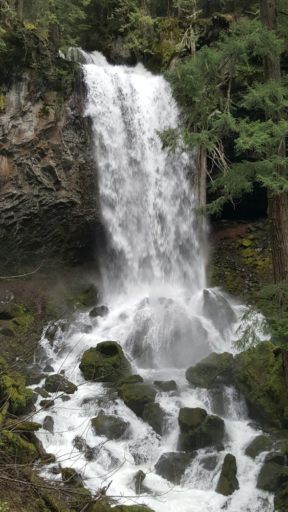 Photo: Forest Service Pacific Northwest Region, Public Domain Mark (via Flickr)
Grotto Falls
~9 min drive
Grotto Falls is a 0.60-mile lollipop trail in Oregon with 414 feet of elevation gain.
 Photo: Forest Service Pacific Northwest Region, Public Domain Mark (via Flickr)
North Umpqua Trail: Calf
~11 min drive
7.38-mile out-and-back trail on the North Umpqua Trail system in Oregon.
HIKE
Snowbird
~6 min drive
3.46-mile out-and-back trail in Oregon with 1,214 ft elevation gain.
HIKE
Yellow Jacket Loop
~6 min drive
5.27-mile out-and-back trail in Oregon with 1,873 ft elevation gain.
 Photo: brewbooks, CC BY-SA 2.0 (via Flickr)
Illahee Flat
~16 min drive
2.60-mile out-and-back trail in Oregon with 626 ft gain.
 Photo: Forest Service Pacific Northwest Region, Public Domain Mark (via Flickr)
North Umpqua Trail: Calf
~12 min drive
7.0-mile out-and-back trail in Oregon with 5,958 ft elevation gain and loss.
HIKE
Cavitt Tie
~6 min drive
1.03-mile out-and-back trail in Oregon with 980 ft of elevation gain.
HIKE
Cougar Creek Trail
~13 min drive
3.26-mile out-and-back hike in Oregon with 2,720 ft elevation gain
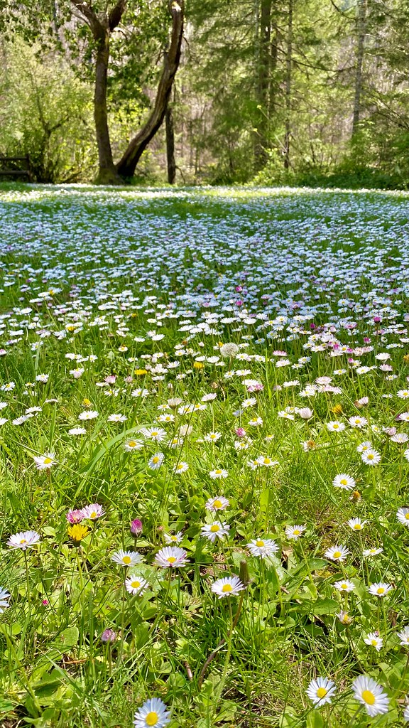 Photo: lamblukas, CC BY 2.0 (via Flickr)
Emerald Trail
~18 min drive
Out-and-back Oregon trail featuring scenic natural landscapes.
 Photo: U.S. Forest Service- Pacific Northwest Region, Public domain (via Wikimedia Commons)
North Umpqua Trail: Mott
~14 min drive
9.9-mile out-and-back trail on the North Umpqua Trail with 4,818 ft gain/loss.
Also worth it near here


