Tucker County Park and Campground
Campground
Campground · 3.2 mi from the trail
Closure in the area
There's a closure order in Columbia River Gorge National Scenic Area. It doesn't name Westside Trail, so check the source for the area it covers.
Eagle Creek Area and Trail Closure
Agency closure covering Columbia River Gorge National Scenic Area · Order 06-22-01-26-04 · USFS · Columbia River Gorge National Scenic Area
Eagle Creek Fire Area Closure - CRGNSA and Mt. Hood
Agency alert covering Columbia River Gorge National Scenic Area · Order 06-22-01-26-04 · USFS · Columbia River Gorge National Scenic Area
As of · Source: USFS · Columbia River Gorge National Scenic Area. Agencies don't list every closure — check before you go.
Westside Trail is a short, easy out-and-back hike in Oregon's Columbia River Gorge National Scenic Area, within the CRGNSA General Management Area Special Designated Area. The Forest Service manages the land, and the trail starts and ends at about 589 feet, with a total climb of 37 feet over a 0.6-mile round trip. The route is nearly flat, with the steepest stretch at about 0.12 miles in, and the elevation gain is so slight that it's barely worth mentioning. Summer is the most comfortable time to go. Typical averages from a nearby weather station show July and August highs around 82°F with only about two wet days a month, while winter brings highs near 40°F and rain on most days. The trip takes about half an hour, so it works well as a quick stop. Westside Community Trail is 0.8 miles away, and Indian Creek Trail is about a mile off. Hood River Penstock Pipeline Trail is 1.7 miles away. Climbers can find Viento Wall about 6.6 miles from the trail.
Tucker County Park and Campground
Campground
 If it rainsJmasterson, CC BY-SA 3.0 · Wikimedia Commons
Western Antique Aeroplane & Automobile Museum
Museum
Aviation and automobile museum in Oregon, United States
Places © OpenStreetMap contributors, Places © Overture Maps Foundation · Photos: Jmasterson, CC BY-SA 3.0 (commons)
More in Trout LakeNot on Roamze yet. Their page has how to reach them.
 Hood River Penstock Pipeline TrailHikingPhoto: msprague, CC BY-SA 2.0 (via Flickr)1.7 mi
 Wankers ColumnsRock climbingPhoto: Stumbling Photographer, CC BY 2.0 (via Flickr)7.5 mi
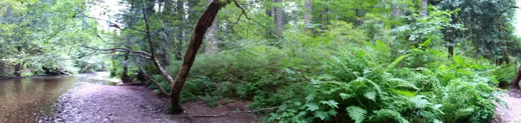 Moss Creek campgroundCampingPhoto: Recreation.gov (RIDB) / public domain8.4 mi
Source: Roamze catalog (indexable pages within 10 miles, PostGIS distance)
Hood River Penstock Pipeline TrailHiking · ~3 min drivePhoto: msprague, CC BY-SA 2.0 (via Flickr) Mitchell Point TrailHiking · ~6 min drivePhoto: Glenn Scofield Williams from Portland, Oregon, USA, CC BY 2.0 (via Wikimedia Commons)
 Wygant TrailHiking · ~8 min drivePhoto: mjfmjfmjf, CC BY 2.0 (via Flickr)
 Old Ranch RoadHiking · ~12 min drivePhoto: Stumbling Photographer, CC BY 2.0 (via Flickr)
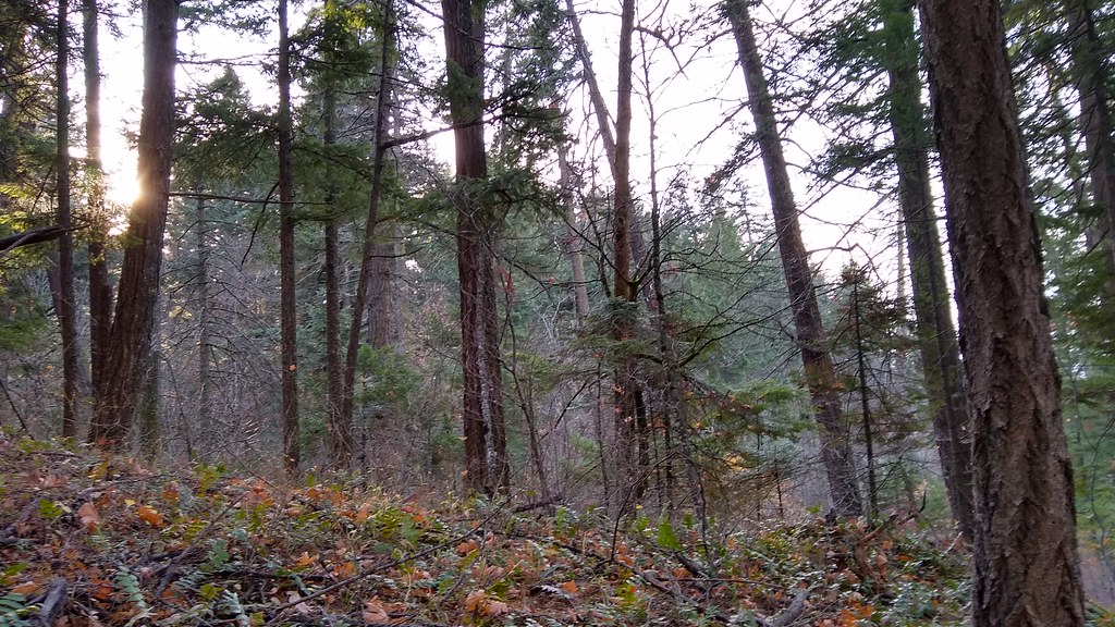 140 TrailHiking · ~6 min drivePhoto: mjfmjfmjf, CC BY 2.0 (via Flickr)
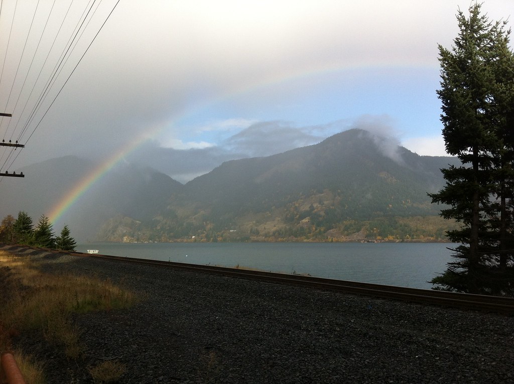 Chetwoot Loop TrailHiking · ~8 min drivePhoto: Hugh_Mann_Photo, CC BY-SA 2.0 (via Flickr)
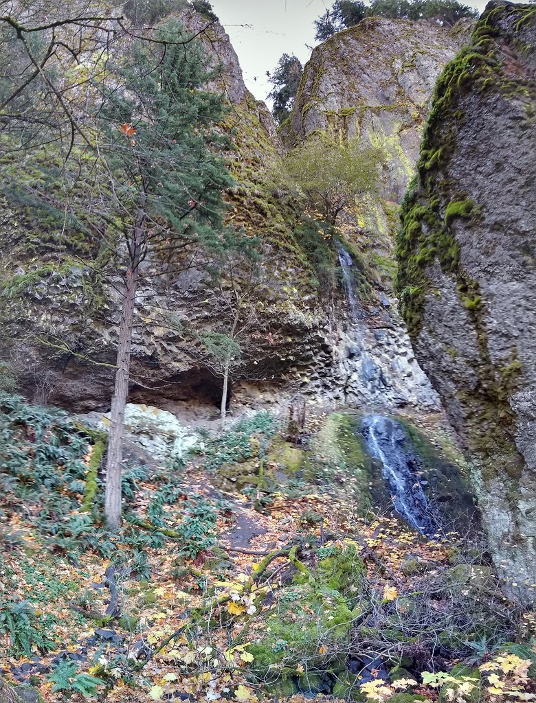 Starvation Ridge Trail #414Hiking · ~13 min drivePhoto: mjfmjfmjf, CC BY 2.0 (via Flickr)
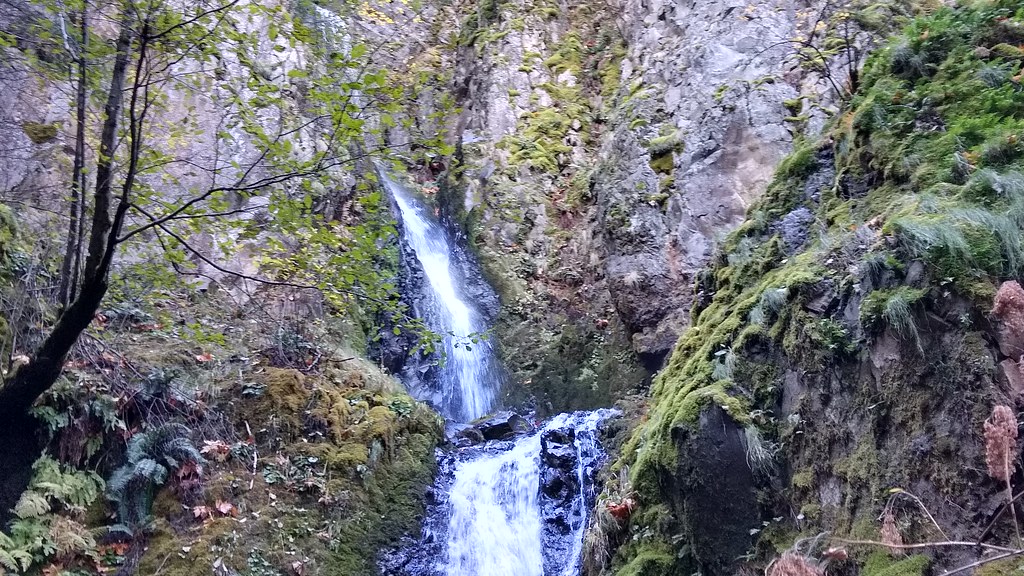 STARVATION RIDGEHiking · ~13 min drivePhoto: mjfmjfmjf, CC BY 2.0 (via Flickr)
 Coyote Cliffs TrailHiking · ~12 min drivePhoto: Jerry Huddleston from Hampton, Minnesota, US, CC BY 2.0 (via Wikimedia Commons)
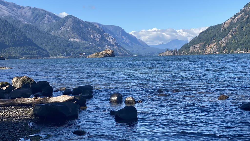 Water Tank TrailHiking · ~10 min drivePhoto: lamblukas, CC BY 2.0 (via Flickr)
Best months: May–October. Best months have typical highs of 55–85 °F, lows of 30 °F or warmer (32 °F where the station doesn't record snow), at most one snowy day and no more than 12 wet days.
Jan
41° / 30°
18 wet
Feb
46° / 31°
15 wet
Mar
53° / 34°
15 wet
Apr
60° / 39°
13 wet
May
68° / 46°
9 wet
Jun
74° / 51°
5 wet
Jul
82° / 55°
2 wet
Aug
82° / 55°
2 wet
Sep
76° / 47°
5 wet
Oct
63° / 39°
11 wet
Nov
49° / 34°
17 wet
Dec
40° / 31°
20 wet
Typical high / low (°F) and days with rain or snow, 1991–2020. Measured at Hood Rvr Exp Stn, OR, 1.5 mi away at 500 ft. This station doesn't record snowfall. Source: NOAA NCEI U.S. Climate Normals 1991–2020.
Map and trail data © OpenStreetMap contributors
