South Trail Spur 108e
- 4.8 mi
- round trip
- 2,105 ft
- climb
- 7,005 ft
- high point
- Out and back
- route
Is SOUTH TRAIL SPUR 108E open right now?
No closures listed
The Forest Service lists no closures for Fremont-Winema National Forest.
As of · Source: USFS · Fremont-Winema National Forest. Agencies don't list every closure — check before you go.
South Trail Spur 108E is a moderate out-and-back hike in the Bly Ranger District of Oregon's Fremont-Winema National Forest, managed by the Forest Service. The route starts at about 5,941 feet and climbs to a high point of 7,005 feet, with a total elevation gain of 2,105 feet over the course of the 9.5-mile round trip. The steepest stretch comes at about 4.2 miles in, where the grade reaches 15 percent. The trip takes about four hours, and the trail is a long one, so plan on a full day. The Aspen Ridge Nordic Spur 107A and the Aspen Ridge Nordic Trail both lie within about 1.6 miles, and the Lofton to Heart Lake route is about 2.3 miles away. For an overnight stay, Lofton Reservoir campground sits about 2.5 miles from the trail.
Local outfitters
- Yamsi Fly Fishing49 mi away
- Crater Lake Zipline and Kayak Tours49 mi away
Not on Roamze yet. Their page has how to reach them.
- ASPEN RIDGE NORDIC SPUR 107AHiking1.5 mi
- ASPEN RIDGE NORDIC TRAILHiking1.6 mi
- Lofton to Heart LakeHiking2.3 mi
- Lofton Big SwampHiking2.4 mi
- Lofton ReservoirCamping2.5 mi
- Holbrook ReservoirCamping2.8 mi
- Barnes Valley CreekCanoeing7.5 mi
- Fishhole CreekCanoeing7.7 mi
Source: Roamze catalog (indexable pages within 10 miles, PostGIS distance)
 MAIN TRAIL SOUTHHiking · ~12 min drivePhoto: Gary Halvorson, Oregon State Archives, CC BY 4.0 (via Wikimedia Commons)
- QUARTZ VALLEY NORDIC LOOPHiking · ~13 min drivePhoto: Gary Halvorson, Oregon State Archives, CC BY 4.0 (via Wikimedia Commons)
 Dead Cow TrailHiking · ~40 min drivePhoto: U.S. Forest Service- Pacific Northwest Region, Public domain (via Wikimedia Commons)
- SOUTH TRAIL SIDE LOOPHiking · ~9 min drive
- QUARTZ NORDIC EAST LOOPHiking · ~13 min drivePhoto: Gary Halvorson, Oregon State Archives, CC BY 4.0 (via Wikimedia Commons)
 Sprague River Spur AHiking · ~21 min drivePhoto: ex_magician, CC BY 2.0 (via Flickr)
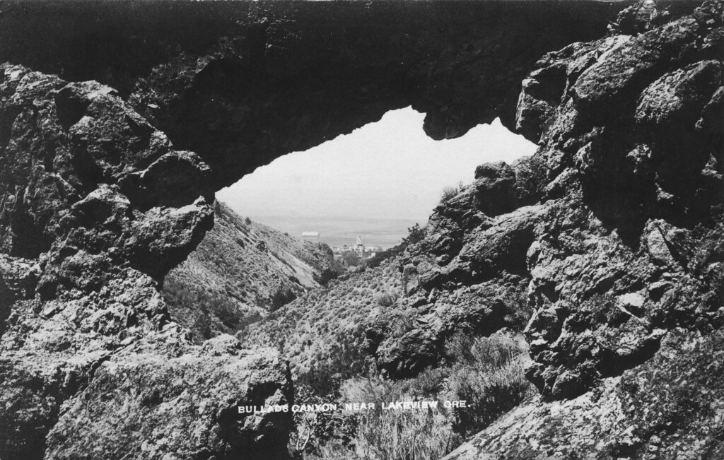 Bullard Canyon TrailHiking · ~43 min drivePhoto: OSU Special Collections & Archives : Commons, No known copyright restrictions (via Flickr)
- QUARTZ MTN. NORDIC TRAILHiking · ~12 min drive
- Lakes LoopHiking · ~39 min drivePhoto: U.S. Forest Service- Pacific Northwest Region, Public domain (via Wikimedia Commons)
- Sprague River TrailHiking · ~21 min drivePhoto: ex_magician, CC BY 2.0 (via Flickr)
