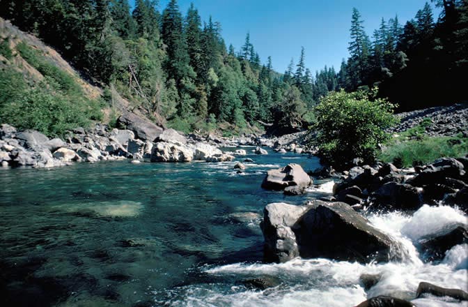
Snow Camp
- 10.6 mi
- round trip
- 4,491 ft
- climb
- 3,871 ft
- high point
- Out and back
- route
Is Snow Camp open right now?
No closures listed
The Forest Service lists no closures for Rogue River-Siskiyou National Forests.
As of · Source: USFS · Rogue River-Siskiyou National Forests. Agencies don't list every closure — check before you go.
Snow Camp is a 21-mile out-and-back hike on the Gold Beach Ranger District of the Rogue River-Siskiyou National Forests in Oregon, about 10 miles from the town of Gold Beach. The route starts at an elevation of about 2,400 feet and climbs to a high point of 3,871 feet, with a total gain of 4,491 feet over the course of the trip. The steepest stretch comes around mile 5, where the trail reaches a 35% grade. The Forest Service manages the land, and the trail is rated hard. Bikes and horses are both allowed, and the surface is natural. The trail is not accessible. The route is open year-round, and the estimated time for the round trip is about 9.5 hours. Close by, the Tincup and Mislatnah hikes are each within 2 miles, and Quail Prairie Lookout offers camping about 4.5 miles away. Eagle Creek, a canoeing spot, sits about 5 miles off.
Local outfitters
- Turtle Rock RV Resort18 mi away
- John Carl Guide Service19 mi away
Not on Roamze yet. Their page has how to reach them.
Keep exploring — more trails worth the drive
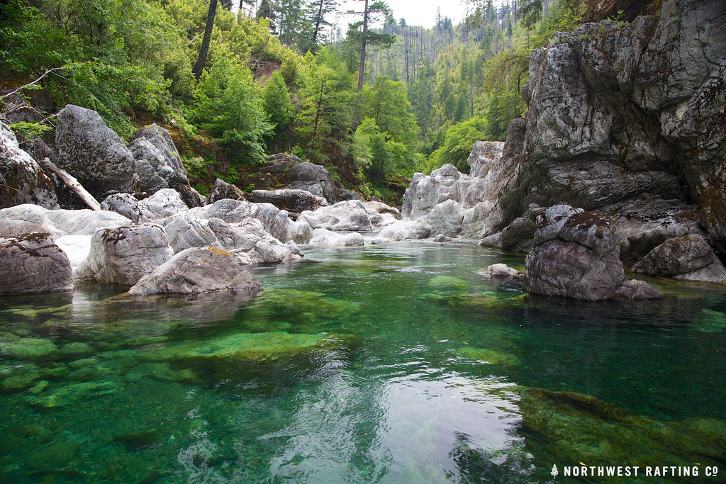 Photo: Northwest Rafting Company, CC BY 2.0 (via Flickr)
Tincup
~6 min drive
Tincup is a 30.44-mile out-and-back trail in Oregon with 5,724 feet of elevation gain.
 Photo: U.S. Forest Service- Pacific Northwest Region, Public domain (via Wikimedia Commons)
Vulcan Lake
~15 min drive
2.60-mile out-and-back trail to Vulcan Lake in Oregon with 866 ft gain.
Photo: U.S. Forest Service- Pacific Northwest Region, Public domain (via Wikimedia Commons)Gardner Mine Loop
~15 min drive
1.40-mile out-and-back trail in Oregon with 383 ft gain.
 Photo: Forest Service Pacific Northwest Region, Public Domain Mark (via Flickr)
Chetco Divide
~15 min drive
19.20-mile out-and-back trail in Oregon with 2,064 ft gain.
 Photo: Northwest Rafting Company, CC BY 2.0 (via Flickr)
Upper Chetco Trail
~17 min drive
34.14-mile out-and-back trail in Oregon with 11,678 ft elevation gain/loss.
Photo: Forest Service Pacific Northwest Region, Public Domain Mark (via Flickr)Gardner Mine
~15 min drive
5-mile out-and-back trail at Gardner Mine in Oregon with 765 ft gain.
Photo: Forest Service Pacific Northwest Region, Public Domain Mark (via Flickr)Little Vulcan Lake
~15 min drive
Little Vulcan Lake is a 0.40-mile out-and-back trail in Oregon with 185 feet of elevation loss.
HIKE
Tincup
~2 min drive
7.80-mile out-and-back trail in Oregon with 1,765 ft elevation gain.
Photo: U.S. Forest Service- Pacific Northwest Region, Public domain (via Wikimedia Commons)Red Mountain
~18 min drive
7.10-mile out-and-back trail in Oregon with 4,288 ft gain and 6,073 ft loss.
Photo: Forest Service Pacific Northwest Region, Public Domain Mark (via Flickr)Vulcan Peak
~15 min drive
2.00-mile out-and-back trail to Vulcan Peak in Oregon with 954 ft elevation gain.