Sky Lakes Cutoff
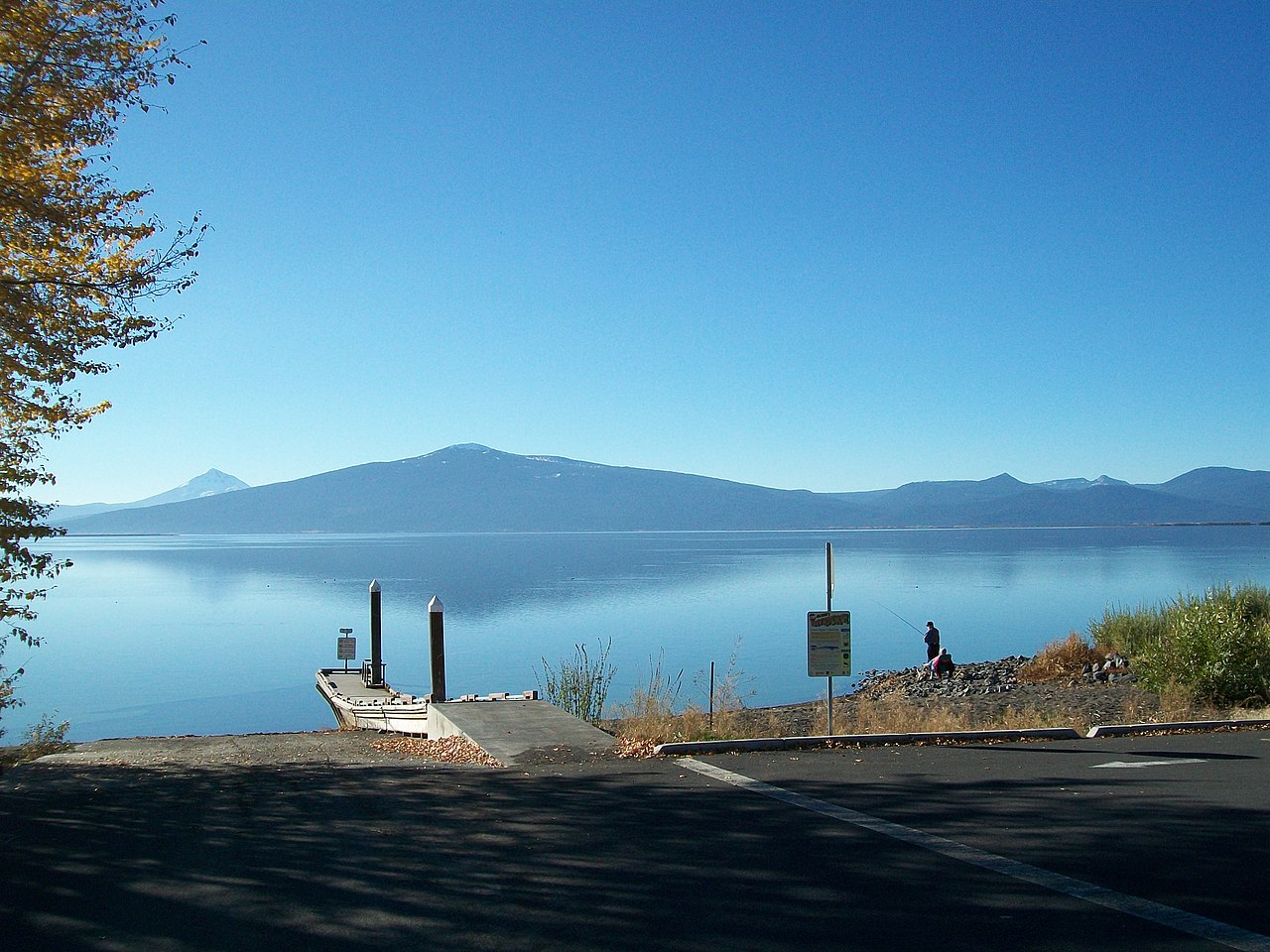
 Photo: U.S. Forest Service- Pacific Northwest Region, Public domain (via Wikimedia Commons)
- 1.8 mi
- distance
- 560 ft
- climb
- Jun–Sep
- best months
Is Sky Lakes Cutoff open right now?
No closures listed
The Forest Service lists no closures for Fremont-Winema National Forest.
As of · Source: USFS · Fremont-Winema National Forest. Agencies don't list every closure — check before you go.
Sky Lakes Cutoff is a 1.79-mile trail at Cold Springs Trailhead in Oregon with 78 feet of elevation gain. The trail follows a cutoff route within the Cold Springs Trailhead system.
Local outfitters
- Ashland Mountain Adventures37 mi away
- Diamond Lake Resort38 mi away
Not on Roamze yet. Their page has how to reach them.
- Sky LakesMountain biking · ~3 min drivePhoto: U.S. Forest Service- Pacific Northwest Region, Public domain (via Wikimedia Commons)
 South RidgeMountain biking · ~18 min drivePhoto: Eric Friedebach, CC BY 3.0 (via Wikimedia Commons)
- Freye LakeMountain biking · ~19 min drivePhoto: Eric Friedebach, CC BY 3.0 (via Wikimedia Commons)
- Big MacMountain biking · ~22 min drivePhoto: Eric Friedebach, CC BY 3.0 (via Wikimedia Commons)
 Pitt ViewMountain biking · ~22 min drivePhoto: Eric Friedebach, CC BY 3.0 (via Wikimedia Commons)
- DivideMountain biking · ~1 min drive
- IsherwoodMountain biking · ~2 min drive
- Donna LakeMountain biking · ~2 min drive
- Snow LakesMountain biking · ~3 min drive
- Cherry CreekMountain biking · ~4 min drive
Best time to visit Sky Lakes Cutoff
Best months: June–September. Best months have typical highs of 55–85 °F, lows of 30 °F or warmer (32 °F where the station doesn't record snow), at most one snowy day and no more than 12 wet days.
Jan
33° / 20°
18 wet
Feb
34° / 19°
17 wet
Mar
36° / 20°
18 wet
Apr
40° / 23°
16 wet
May
49° / 29°
12 wet
Jun
57° / 34°
7 wet
Jul
69° / 41°
4 wet
Aug
69° / 42°
4 wet
Sep
63° / 37°
6 wet
Oct
51° / 30°
10 wet
Nov
38° / 23°
16 wet
Dec
33° / 19°
18 wet
Typical high / low (°F) and days with rain or snow, 1991–2020. Measured at Crater Lake Nps Hq, OR, 21.6 mi away at 6,485 ft. This station doesn't record snowfall. Source: NOAA NCEI U.S. Climate Normals 1991–2020.

Map and trail data © OpenStreetMap contributors
